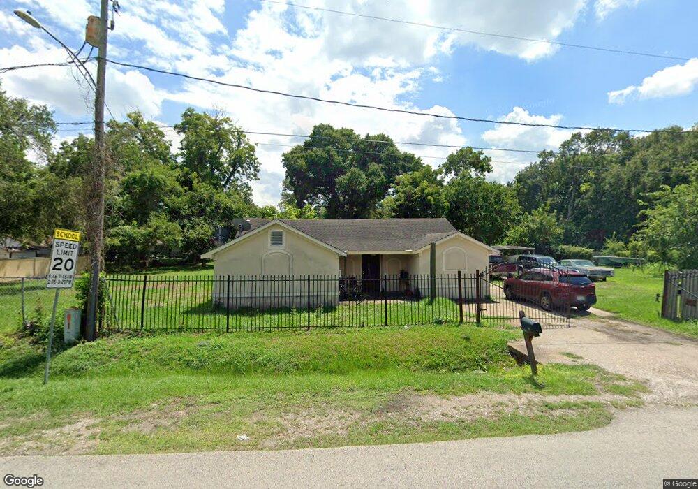
809 Ringold St Houston, TX 77088
Acres Homes NeighborhoodEstimated Value: $192,000 - $216,000
2
Beds
2
Baths
1,296
Sq Ft
$155/Sq Ft
Est. Value
About This Home
This home is located at 809 Ringold St, Houston, TX 77088 and is currently estimated at $201,331, approximately $155 per square foot. 809 Ringold St is a home located in Harris County with nearby schools including Osborne Elementary School, Williams Middle, and Booker T Washington Sr High.
Ownership History
Date
Name
Owned For
Owner Type
Purchase Details
Closed on
Oct 25, 2022
Sold by
Lakey Benjamin Charles
Bought by
Lakey Benjamin C
Current Estimated Value
Home Financials for this Owner
Home Financials are based on the most recent Mortgage that was taken out on this home.
Original Mortgage
$139,700
Outstanding Balance
$135,019
Interest Rate
6.7%
Mortgage Type
Credit Line Revolving
Estimated Equity
$66,312
Purchase Details
Closed on
Sep 1, 2009
Sold by
Overshown Howard and Overshown Tannie
Bought by
County Of Harris
Create a Home Valuation Report for This Property
The Home Valuation Report is an in-depth analysis detailing your home's value as well as a comparison with similar homes in the area
Home Values in the Area
Average Home Value in this Area
Purchase History
| Date | Buyer | Sale Price | Title Company |
|---|---|---|---|
| Lakey Benjamin C | -- | -- | |
| County Of Harris | -- | None Available |
Source: Public Records
Mortgage History
| Date | Status | Borrower | Loan Amount |
|---|---|---|---|
| Open | Lakey Benjamin C | $139,700 |
Source: Public Records
Tax History
| Year | Tax Paid | Tax Assessment Tax Assessment Total Assessment is a certain percentage of the fair market value that is determined by local assessors to be the total taxable value of land and additions on the property. | Land | Improvement |
|---|---|---|---|---|
| 2025 | -- | $235,552 | $147,600 | $87,952 |
| 2024 | -- | $219,631 | $147,600 | $72,031 |
| 2023 | -- | $215,091 | $147,600 | $67,491 |
| 2022 | $2,981 | $189,655 | $115,200 | $74,455 |
| 2021 | $2,868 | $148,544 | $75,600 | $72,944 |
| 2020 | $2,709 | $131,023 | $64,800 | $66,223 |
| 2019 | $2,574 | $123,823 | $57,600 | $66,223 |
| 2018 | $0 | $96,575 | $32,400 | $64,175 |
| 2017 | $6,377 | $84,063 | $21,600 | $62,463 |
| 2016 | $2,070 | $81,857 | $21,600 | $60,257 |
| 2015 | -- | $80,678 | $21,600 | $59,078 |
| 2014 | -- | $80,678 | $21,600 | $59,078 |
Source: Public Records
Map
Nearby Homes
- 839 Fortune St
- 813 Fortune St
- 0 Fortune St
- 791 Fortune St
- 854 Junell St
- 765 Enterprise St Unit E
- 765 Enterprise St Unit B
- 765 Enterprise St Unit A
- 776 Fair St
- 769 Marjorie St
- 8310 Williamsdell St
- 8314 Williamsdell St Unit A/B
- 771 Fair St Unit A/B
- 8404 De Priest St
- 882 Fortune St
- 0 Marjorie
- 851 Prosper St
- 906 Fortune St
- 882 Prosper St
- 884 Prosper St
- 814 Enterprise St
- 808 Enterprise St
- 805 Ringold St
- 806 Enterprise St
- 8007 Lawn St
- 8007 Lawn St Unit B
- 8007 Lawn St Unit A
- 803 Ringold St
- 822 Enterprise St
- 824 Enterprise St
- 830 Enterprise St
- 809 Enterprise St
- 809 Enterprise St
- 817 Enterprise St
- 805 Enterprise St
- 805 Enterprise St Unit A & B
- 805 Enterprise St Unit B
- 832 Enterprise St
- 821 Enterprise St
- 788 Enterprise St
Your Personal Tour Guide
Ask me questions while you tour the home.