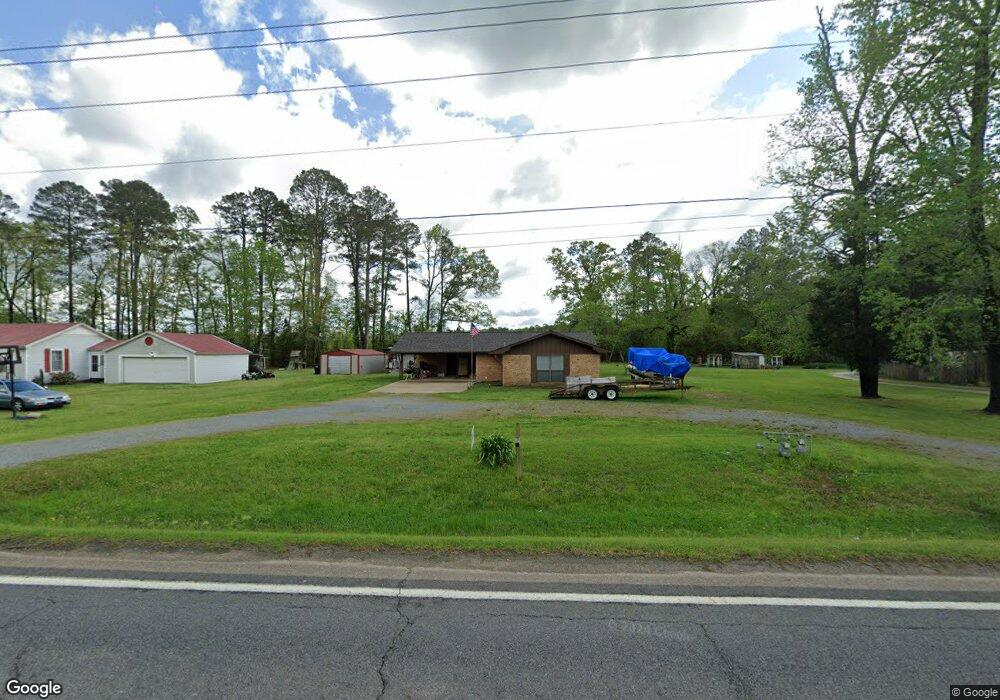
809 W 7th St SMacKover, AR 71762
Estimated Value: $119,000 - $175,000
Studio
1
Bath
1,343
Sq Ft
$106/Sq Ft
Est. Value
About This Home
This home is located at 809 W 7th St, SMacKover, AR 71762 and is currently estimated at $142,211, approximately $105 per square foot. 809 W 7th St is a home located in Union County with nearby schools including Smackover Elementary School, Norphlet Middle School, and Smackover High School.
Ownership History
Date
Name
Owned For
Owner Type
Purchase Details
Closed on
Mar 4, 2024
Sold by
Rowan Carolyn A and Rowan Gregory A
Bought by
Rowan Carolyn A and Rowan Gregory A
Current Estimated Value
Purchase Details
Closed on
Feb 14, 2024
Sold by
Parks Cynthia Sue and Parks Thomas R
Bought by
Parks Rowan Carolyn and Rowan Gregory A
Purchase Details
Closed on
Mar 2, 2023
Sold by
Rose Stephen Wayne
Bought by
Williams Kristi
Purchase Details
Closed on
Jan 2, 2020
Sold by
Williams Jeff
Bought by
Rose Kristi
Purchase Details
Closed on
Jan 1, 1994
Bought by
Watson Charlotte W
Create a Home Valuation Report for This Property
The Home Valuation Report is an in-depth analysis detailing your home's value as well as a comparison with similar homes in the area
Purchase History
| Date | Buyer | Sale Price | Title Company |
|---|---|---|---|
| Rowan Carolyn A | -- | None Listed On Document | |
| Parks Rowan Carolyn | -- | None Listed On Document | |
| Williams Kristi | -- | None Listed On Document | |
| Rose Kristi | -- | None Available | |
| Watson Charlotte W | -- | -- |
Source: Public Records
Tax History
| Year | Tax Paid | Tax Assessment Tax Assessment Total Assessment is a certain percentage of the fair market value that is determined by local assessors to be the total taxable value of land and additions on the property. | Land | Improvement |
|---|---|---|---|---|
| 2025 | $334 | $21,780 | $1,100 | $20,680 |
| 2024 | $394 | $21,780 | $1,100 | $20,680 |
| 2023 | $469 | $21,780 | $1,100 | $20,680 |
| 2022 | $812 | $15,070 | $1,100 | $13,970 |
| 2021 | $812 | $15,070 | $1,100 | $13,970 |
| 2020 | $812 | $15,070 | $1,100 | $13,970 |
| 2019 | $812 | $15,070 | $1,100 | $13,970 |
| 2018 | $812 | $15,070 | $1,100 | $13,970 |
| 2017 | $233 | $11,000 | $900 | $10,100 |
| 2016 | $583 | $11,000 | $900 | $10,100 |
| 2014 | $233 | $11,000 | $900 | $10,100 |
Source: Public Records
Map
Nearby Homes
- 300 W 7th St
- 1203 Pine Cir
- Lots 2-3 Poplar St
- 0 Poplar
- 172 Lisbon Rd
- 5022 Highway 7 S
- 0000 Hayes St
- 544 N Tate Rd
- 140 Ouachita 497
- 5053 Lisbon Rd
- 2025 O Rear Rd
- 191 Charlie Vance Rd
- 0 Sandy Creek Rd
- 217 Walter Dr
- 580 O Rear Cutoff
- TBD Calhoun 3
- 0 Highway 75-20 Unit 24032576
- 740 Agnes Rd
- 526 Meadow Ln
- 00 County Road 53
Your Personal Tour Guide
Ask me questions while you tour the home.