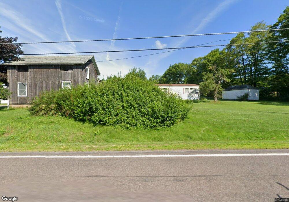
8091 Route 487 Dushore, PA 18614
Estimated Value: $151,000 - $223,000
3
Beds
1
Bath
1,814
Sq Ft
$104/Sq Ft
Est. Value
About This Home
This home is located at 8091 Route 487, Dushore, PA 18614 and is currently estimated at $188,025, approximately $103 per square foot. 8091 Route 487 is a home located in Sullivan County with nearby schools including Sullivan County Elementary School and Sullivan County High School.
Ownership History
Date
Name
Owned For
Owner Type
Purchase Details
Closed on
Jun 19, 2006
Sold by
Pedro Christopher M
Bought by
Pedro Christopher M
Current Estimated Value
Home Financials for this Owner
Home Financials are based on the most recent Mortgage that was taken out on this home.
Original Mortgage
$80,000
Outstanding Balance
$47,060
Interest Rate
6.58%
Mortgage Type
New Conventional
Estimated Equity
$140,965
Purchase Details
Closed on
Jun 15, 2006
Sold by
Pedro Christopher M
Bought by
Pedro Michael J
Home Financials for this Owner
Home Financials are based on the most recent Mortgage that was taken out on this home.
Original Mortgage
$80,000
Outstanding Balance
$47,060
Interest Rate
6.58%
Mortgage Type
New Conventional
Estimated Equity
$140,965
Create a Home Valuation Report for This Property
The Home Valuation Report is an in-depth analysis detailing your home's value as well as a comparison with similar homes in the area
Purchase History
| Date | Buyer | Sale Price | Title Company |
|---|---|---|---|
| Pedro Christopher M | -- | None Available | |
| Pedro Michael J | $104,500 | None Available |
Source: Public Records
Mortgage History
| Date | Status | Borrower | Loan Amount |
|---|---|---|---|
| Open | Pedro Michael J | $80,000 |
Source: Public Records
Tax History
| Year | Tax Paid | Tax Assessment Tax Assessment Total Assessment is a certain percentage of the fair market value that is determined by local assessors to be the total taxable value of land and additions on the property. | Land | Improvement |
|---|---|---|---|---|
| 2025 | $2,132 | $89,700 | $15,500 | $74,200 |
| 2024 | $2,064 | $89,700 | $15,500 | $74,200 |
| 2023 | $1,928 | $89,700 | $15,500 | $74,200 |
| 2022 | $682 | $89,700 | $15,500 | $74,200 |
| 2021 | $682 | $89,700 | $15,500 | $74,200 |
| 2020 | $1,905 | $89,700 | $15,500 | $74,200 |
| 2019 | $1,871 | $89,700 | $15,500 | $74,200 |
| 2017 | $1,649 | $89,700 | $15,500 | $74,200 |
| 2015 | $730 | $81,200 | $15,500 | $65,700 |
| 2014 | $730 | $73,300 | $15,500 | $57,800 |
| 2012 | $730 | $73,300 | $15,500 | $57,800 |
Source: Public Records
Map
Nearby Homes
- 1050 Old Bernice Rd
- 1070 Hayes Rd
- 167 Payne Run Ln
- 0 Old Bernice Rd Unit 31721825
- 595 Old Bernice Rd
- 181 E Cherry St
- 244 S Turnpike St
- 242 S Turnpike St Unit LR895
- PARCEL 001 Route 220 Hwy
- 4526 Pennsylvania 487
- 5751 Pennsylvania 487
- 0 Cummiskey Rd
- 1319 Ambrosius Rd
- 4529 Route 487
- 272 Crawford Rd
- 33 Walton Way Rd
- 108 Stansfield Rd
- 535 Cavanaugh Rd
- 730 Elys Rd
- 782 Santee Ln
- 8092 Route 487
- 8068 Route 487 Unit LR177
- 8126 Route 487
- 8075 Route 487
- 8149 Route 487
- 8149 Pennsylvania 487
- 244 Schlock Rd
- 229 Schlock Rd
- 0 Schlock Rd
- 8190 Route 487
- 8190 Pennsylvania 487
- 218 Schlock Rd
- 8201 Route 487
- 7975 Route 487 Unit LR177
- 197 Schlock Rd
- 165 Schlock Rd
- 154 Schlock Rd
- 680 Farrells Rd Unit T407
- 74 Potuck Rd
- 150 Potuck Rd
Your Personal Tour Guide
Ask me questions while you tour the home.