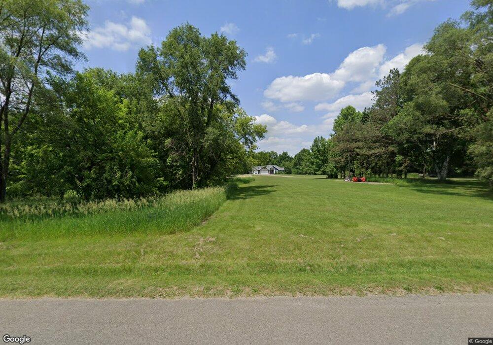
8098 Ab Ave Otsego, MI 49078
Estimated Value: $304,000 - $763,199
3
Beds
3
Baths
2,006
Sq Ft
$282/Sq Ft
Est. Value
About This Home
This home is located at 8098 Ab Ave, Otsego, MI 49078 and is currently estimated at $565,066, approximately $281 per square foot. 8098 Ab Ave is a home located in Kalamazoo County with nearby schools including Otsego High School, St. Margaret School, and Otsego Christian Academy.
Ownership History
Date
Name
Owned For
Owner Type
Purchase Details
Closed on
Feb 28, 2014
Sold by
Smith Rosalie
Bought by
Perry Quinn A and Perry Tanya L
Current Estimated Value
Home Financials for this Owner
Home Financials are based on the most recent Mortgage that was taken out on this home.
Original Mortgage
$41,600
Outstanding Balance
$30,009
Interest Rate
3.12%
Mortgage Type
Adjustable Rate Mortgage/ARM
Estimated Equity
$535,057
Purchase Details
Closed on
Feb 9, 2005
Sold by
Smith Rosalie
Bought by
The Rosalie Smith Trust
Purchase Details
Closed on
Nov 11, 2004
Sold by
Smith Rosalie and Ames Fritz Denyse W
Bought by
Smith Rosalie
Home Financials for this Owner
Home Financials are based on the most recent Mortgage that was taken out on this home.
Original Mortgage
$13,754
Interest Rate
5.82%
Mortgage Type
Stand Alone Refi Refinance Of Original Loan
Create a Home Valuation Report for This Property
The Home Valuation Report is an in-depth analysis detailing your home's value as well as a comparison with similar homes in the area
Home Values in the Area
Average Home Value in this Area
Purchase History
| Date | Buyer | Sale Price | Title Company |
|---|---|---|---|
| Perry Quinn A | $52,000 | Ppr Title Agency | |
| The Rosalie Smith Trust | -- | -- | |
| Smith Rosalie | -- | Devon |
Source: Public Records
Mortgage History
| Date | Status | Borrower | Loan Amount |
|---|---|---|---|
| Open | Perry Quinn A | $41,600 | |
| Previous Owner | Smith Rosalie | $13,754 |
Source: Public Records
Tax History Compared to Growth
Tax History
| Year | Tax Paid | Tax Assessment Tax Assessment Total Assessment is a certain percentage of the fair market value that is determined by local assessors to be the total taxable value of land and additions on the property. | Land | Improvement |
|---|---|---|---|---|
| 2025 | $5,224 | $332,800 | $0 | $0 |
| 2024 | $1,582 | $328,600 | $0 | $0 |
| 2023 | $1,582 | $278,600 | $0 | $0 |
| 2022 | $1,582 | $251,200 | $0 | $0 |
| 2021 | $1,582 | $243,900 | $0 | $0 |
| 2020 | $3,009 | $235,600 | $0 | $0 |
| 2019 | $4,401 | $228,600 | $0 | $0 |
| 2018 | $0 | $165,300 | $0 | $0 |
| 2017 | $0 | $165,300 | $0 | $0 |
| 2016 | -- | $146,100 | $0 | $0 |
| 2015 | -- | $134,500 | $0 | $0 |
| 2014 | -- | $51,100 | $0 | $0 |
Source: Public Records
Map
Nearby Homes
- 7752 W B Ave
- VL W Ab Ave
- 7131 W B Ave
- Elements 1870 Plan at Southpointe Trails
- Integrity 1605 Plan at Southpointe Trails
- Elements 2070 Plan at Southpointe Trails
- Integrity 2000 Plan at Southpointe Trails
- Elements 1680 Plan at Southpointe Trails
- integrity 2280 Plan at Southpointe Trails
- Integrity 1910 Plan at Southpointe Trails
- integrity 1800 Plan at Southpointe Trails
- Integrity 2061 V8.1a Plan at Southpointe Trails
- Elements 2390 Plan at Southpointe Trails
- Integrity 2190 Plan at Southpointe Trails
- Elements 2100 Plan at Southpointe Trails
- Elements 1800 Plan at Southpointe Trails
- Integrity 1610 Plan at Southpointe Trails
- Integrity 1520 Plan at Southpointe Trails
- Integrity 1530 Plan at Southpointe Trails
- Integrity 1750 Plan at Southpointe Trails