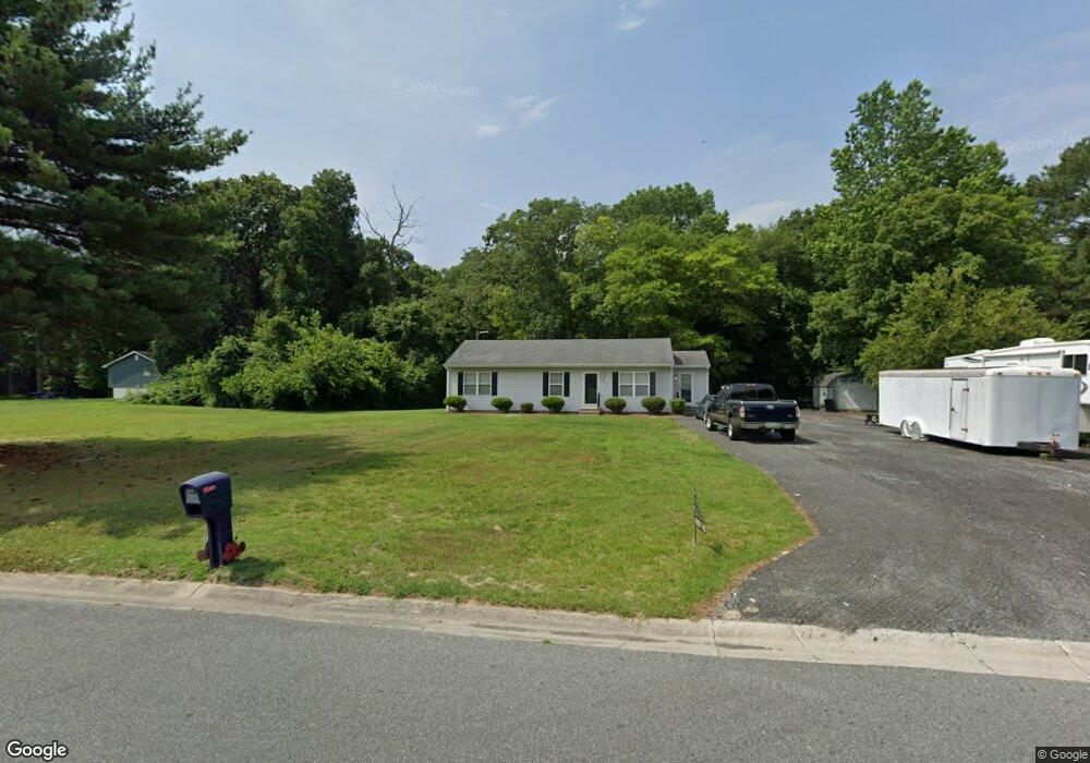
8098 Burnt Branch Dr Salisbury, MD 21801
North Salisbury NeighborhoodEstimated Value: $192,261 - $256,000
--
Bed
2
Baths
1,200
Sq Ft
$197/Sq Ft
Est. Value
About This Home
This home is located at 8098 Burnt Branch Dr, Salisbury, MD 21801 and is currently estimated at $236,065, approximately $196 per square foot. 8098 Burnt Branch Dr is a home located in Wicomico County with nearby schools including Westside Primary School, Westside Intermediate School, and Salisbury Middle School.
Ownership History
Date
Name
Owned For
Owner Type
Purchase Details
Closed on
Jul 10, 1997
Sold by
Burnt Branch Development Co
Bought by
Dashiell Douglas T
Current Estimated Value
Create a Home Valuation Report for This Property
The Home Valuation Report is an in-depth analysis detailing your home's value as well as a comparison with similar homes in the area
Home Values in the Area
Average Home Value in this Area
Purchase History
| Date | Buyer | Sale Price | Title Company |
|---|---|---|---|
| Dashiell Douglas T | $81,400 | -- |
Source: Public Records
Mortgage History
| Date | Status | Borrower | Loan Amount |
|---|---|---|---|
| Closed | Dashiell Douglas T | -- |
Source: Public Records
Tax History Compared to Growth
Tax History
| Year | Tax Paid | Tax Assessment Tax Assessment Total Assessment is a certain percentage of the fair market value that is determined by local assessors to be the total taxable value of land and additions on the property. | Land | Improvement |
|---|---|---|---|---|
| 2025 | $1,083 | $107,133 | $0 | $0 |
| 2024 | $1,083 | $100,867 | $0 | $0 |
| 2023 | $1,051 | $94,600 | $35,000 | $59,600 |
| 2022 | $1,068 | $93,467 | $0 | $0 |
| 2021 | $1,057 | $92,333 | $0 | $0 |
| 2020 | $1,057 | $91,200 | $35,000 | $56,200 |
| 2019 | $1,070 | $91,200 | $35,000 | $56,200 |
| 2018 | $1,081 | $91,200 | $35,000 | $56,200 |
| 2017 | $1,192 | $107,600 | $0 | $0 |
| 2016 | -- | $107,600 | $0 | $0 |
| 2015 | $1,157 | $107,600 | $0 | $0 |
| 2014 | $1,157 | $115,900 | $0 | $0 |
Source: Public Records
Map
Nearby Homes
- 29167 Doubletree Dr
- 28955 Log Cabin Rd
- 667 Cook Dr
- 1710 Wilson Ln Unit 1
- 1707 West Rd
- 0 Foskey Ln Unit MDWC2017454
- 0 Foskey Ln Unit MDWC112230
- 414 Sarah Ln
- 0 Log Cabin Rd
- 1621 Waconia Dr
- 29463 Windy Hill Cir
- 516 Purnell St
- 1606 Towson Ave
- 1618 West Rd
- 0 Milford Twilley Dr Unit MDWC2013476
- 28600 Naylor Mill Rd
- 1817 Ocean Shore Ln
- 29592 Foskey Ln
- 1816 Ocean Shore Dr
- Lot D5 International Dr
- 8102 Burnt Branch Dr
- 8076 Jersey Rd
- 8062 Jersey Rd
- 8110 Burnt Branch Dr
- 8099 Burnt Branch Dr
- 8096 Jersey Rd
- 8107 Burnt Branch Dr
- 8065 Jersey Rd
- 8014 Jersey Rd
- 8122 Burnt Branch Dr
- 8115 Burnt Branch Dr
- 8100 Jersey Rd
- 29228 Doubletree Dr
- 8132 Burnt Branch Dr
- 8131 Burnt Branch Dr
- 8116 Jersey Rd
- 29110 Bryan Brooke Ln
- 29225 Doubletree Dr
- 29120 Bryan Brooke Ln
- 8136 Burnt Branch Dr