Estimated Value: $104,513 - $130,000
3
Beds
1
Bath
1,000
Sq Ft
$113/Sq Ft
Est. Value
About This Home
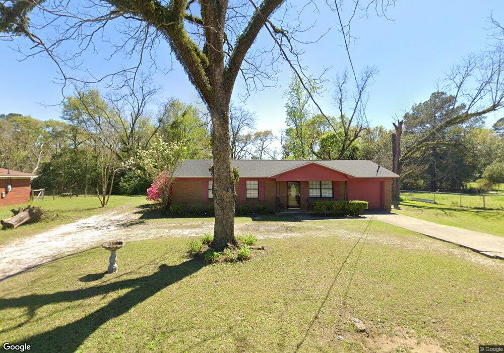
This home is located at 81 13th Ave SW, Cairo, GA 39828 and is currently estimated at $113,378, approximately $113 per square foot. 81 13th Ave SW is a home located in Grady County with nearby schools including Cairo High School.
Ownership History
Date
Name
Owned For
Owner Type
Purchase Details
Closed on
Mar 23, 2010
Sold by
Williams Valerie
Bought by
Williams Valerie and Williams Leslie
Current Estimated Value
Home Financials for this Owner
Home Financials are based on the most recent Mortgage that was taken out on this home.
Original Mortgage
$42,000
Interest Rate
5.02%
Mortgage Type
New Conventional
Purchase Details
Closed on
Jan 3, 1992
Bought by
Davis Valerie L
Create a Home Valuation Report for This Property
The Home Valuation Report is an in-depth analysis detailing your home's value as well as a comparison with similar homes in the area
Home Values in the Area
Average Home Value in this Area
Purchase History
| Date | Buyer | Sale Price | Title Company |
|---|---|---|---|
| Williams Valerie | -- | -- | |
| Davis Valerie L | $44,000 | -- |
Source: Public Records
Mortgage History
| Date | Status | Borrower | Loan Amount |
|---|---|---|---|
| Closed | Williams Valerie | $42,000 |
Source: Public Records
Tax History Compared to Growth
Tax History
| Year | Tax Paid | Tax Assessment Tax Assessment Total Assessment is a certain percentage of the fair market value that is determined by local assessors to be the total taxable value of land and additions on the property. | Land | Improvement |
|---|---|---|---|---|
| 2024 | $1,495 | $39,440 | $3,120 | $36,320 |
| 2023 | $988 | $28,363 | $3,512 | $24,851 |
| 2022 | $1,031 | $28,363 | $3,512 | $24,851 |
| 2021 | $1,020 | $28,011 | $3,512 | $24,499 |
| 2020 | $1,022 | $28,011 | $3,512 | $24,499 |
| 2019 | $1,022 | $28,011 | $3,512 | $24,499 |
| 2018 | $972 | $28,011 | $3,512 | $24,499 |
| 2017 | $936 | $28,011 | $3,512 | $24,499 |
| 2016 | $807 | $23,835 | $3,512 | $20,323 |
| 2015 | $799 | $23,835 | $3,512 | $20,323 |
| 2014 | $799 | $23,835 | $3,512 | $20,323 |
| 2013 | -- | $20,999 | $3,512 | $17,487 |
Source: Public Records
Map
Nearby Homes
- 109 Oriac Ave SW
- 1193 S Broad St
- 75 14th Ave SE
- 117 Pine Cir SW
- 270 Muggridge Ln
- 112 Pine Cir SW
- 720 1st St SW
- 27 6th Ave SW
- 460 2nd St SW
- 1310 Stone Ave
- 130 17th Ave SE
- 40 5th Ave SW
- 602 4th St SE
- 1406 Platt Ave
- 000 S Broad St
- 000 Hwy 111 South 20 59 Acres
- 786 Madison Ln
- 198 Oakdale Rd SE
- 530 6th Ave SE
- 481 4th St SE
- 91 13th Ave SW
- 90 13th Ave SW
- 71 13th Ave SW
- 1290 1st St SW
- 61 13th Ave SW
- 51 13th Ave SW
- 130 13th Ave SW
- 1280 S Broad St
- 129 12th Ave SW
- 1320 S Broad St
- 1340 S Broad St
- 150 13th Ave SW
- 161 13th Ave SW
- 122 12th Ave SW
- 163 12th Ave SW
- 170 13th Ave SW
- 142 12th Ave SW
- 1188 S Broad St
- 173 12th Ave SW
- 00 S Broad St