81 Abbattis Rd Unit 5505 Ellijay, GA 30540
Estimated Value: $461,000 - $523,000
3
Beds
3
Baths
2,400
Sq Ft
$205/Sq Ft
Est. Value
About This Home
This home is located at 81 Abbattis Rd Unit 5505, Ellijay, GA 30540 and is currently estimated at $492,330, approximately $205 per square foot. 81 Abbattis Rd Unit 5505 is a home located in Gilmer County with nearby schools including Ellijay Elementary School, Gilmer Middle School, and Clear Creek Elementary School.
Ownership History
Date
Name
Owned For
Owner Type
Purchase Details
Closed on
Apr 16, 2018
Sold by
Beaudet Robert R
Bought by
David Wood and Wood Laila
Current Estimated Value
Purchase Details
Closed on
Mar 31, 2014
Sold by
Fordham Robert
Bought by
Beaudet Richard R
Purchase Details
Closed on
Nov 15, 2006
Sold by
Wallis Robert E
Bought by
Fordham Robert N
Purchase Details
Closed on
Mar 22, 1999
Sold by
Taylor Gary and Taylor Lavern
Bought by
Wallis Robert and Wallis Barb
Purchase Details
Closed on
Mar 1, 1998
Sold by
Wilfong Berkley and Wilfong Imo
Bought by
Taylor Garry and Taylor Lauren
Purchase Details
Closed on
Jul 1, 1980
Bought by
Taylor Garry and Taylor Lauren
Create a Home Valuation Report for This Property
The Home Valuation Report is an in-depth analysis detailing your home's value as well as a comparison with similar homes in the area
Home Values in the Area
Average Home Value in this Area
Purchase History
| Date | Buyer | Sale Price | Title Company |
|---|---|---|---|
| David Wood | $415,000 | -- | |
| Beaudet Richard R | -- | -- | |
| Fordham Robert N | $144,000 | -- | |
| Wallis Robert | $120,000 | -- | |
| Taylor Garry | $3,000 | -- | |
| Taylor Garry | -- | -- |
Source: Public Records
Tax History Compared to Growth
Tax History
| Year | Tax Paid | Tax Assessment Tax Assessment Total Assessment is a certain percentage of the fair market value that is determined by local assessors to be the total taxable value of land and additions on the property. | Land | Improvement |
|---|---|---|---|---|
| 2024 | $502 | $164,968 | $3,400 | $161,568 |
| 2023 | $1,970 | $151,208 | $2,920 | $148,288 |
| 2022 | $1,986 | $132,528 | $2,000 | $130,528 |
| 2021 | $1,934 | $107,808 | $2,000 | $105,808 |
| 2020 | $1,897 | $89,952 | $1,920 | $88,032 |
| 2019 | $1,271 | $96,480 | $1,680 | $94,800 |
| 2018 | $2,121 | $92,440 | $1,680 | $90,760 |
| 2017 | $1,982 | $80,560 | $2,000 | $78,560 |
| 2016 | $2,044 | $81,440 | $2,000 | $79,440 |
| 2015 | $1,215 | $49,280 | $1,800 | $47,480 |
| 2014 | $1,147 | $44,760 | $1,800 | $42,960 |
| 2013 | -- | $46,560 | $1,800 | $44,760 |
Source: Public Records
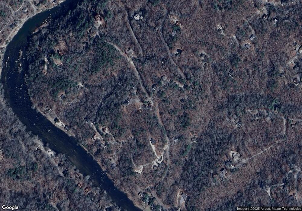
Map
Nearby Homes
- 0 Dawn Ln Unit 402071
- 160 Primrose Ct
- 71 Dryad Ct
- 40 Dryad Ct
- 232 Riveredge Ln Unit 9070
- 149 Pinecrest Ct
- 480 Riveredge Ln
- 480 Riveredge Ln Unit 9063
- 98 Forest Ct Unit 656
- 98 Forest Ct
- 228 Centergate Dr
- Lot 468 Cherokee Ct
- Lot 2246 Palisade Dr
- 280 Cherokee Ct
- 264 Riverview Dr
- 685 Riverview Dr
- 685 Riverview Dr Unit 487
- 70 Muller Ln
- 0 Riveredge Ln Unit 7674489
- 130 Orbit Ln Unit 1573
- 81 Abbattis Rd
- 0 Riparian Way Unit 758 7593290
- 0 Riparian Way Unit 7632428
- 0 Riparian Way Unit 762 9065807
- 109 Abbattis Rd
- 102 Abbattis Rd
- 102 Abbatis Ct
- 102 Abatis Ct
- 679 Abatis Ct
- L-679 Abatis Ct
- 738 Abatis Ct
- 74 Abbattis Rd
- 28 Abbattis Rd Unit 5630
- 0 Dawn Ln Unit LOT 728 8660613
- LT728 Dawn Ln
- 736 Dawn Ln
- 724 Dawn Ln
- L 746 Dawn Ln
- 734 Dawn Ln
- 0 Dawn Ln Unit 98864