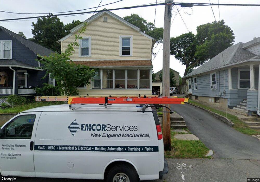
81 Blanding Ave East Providence, RI 02914
Estimated Value: $389,000 - $435,000
3
Beds
1
Bath
1,212
Sq Ft
$333/Sq Ft
Est. Value
About This Home
This home is located at 81 Blanding Ave, East Providence, RI 02914 and is currently estimated at $403,315, approximately $332 per square foot. 81 Blanding Ave is a home located in Providence County with nearby schools including East Providence High School, Ocean State Montessori School, and The Croft School - Providence.
Ownership History
Date
Name
Owned For
Owner Type
Purchase Details
Closed on
Jun 18, 2018
Sold by
Monteiro Jean
Bought by
Almada Derrin R
Current Estimated Value
Home Financials for this Owner
Home Financials are based on the most recent Mortgage that was taken out on this home.
Original Mortgage
$147,250
Outstanding Balance
$127,347
Interest Rate
4.5%
Mortgage Type
New Conventional
Estimated Equity
$275,968
Create a Home Valuation Report for This Property
The Home Valuation Report is an in-depth analysis detailing your home's value as well as a comparison with similar homes in the area
Home Values in the Area
Average Home Value in this Area
Purchase History
| Date | Buyer | Sale Price | Title Company |
|---|---|---|---|
| Almada Derrin R | $155,000 | -- | |
| Almada Derrin R | $155,000 | -- |
Source: Public Records
Mortgage History
| Date | Status | Borrower | Loan Amount |
|---|---|---|---|
| Open | Almada Derrin R | $147,250 | |
| Closed | Almada Derrin R | $147,250 | |
| Previous Owner | Almada Derrin R | $160,000 | |
| Previous Owner | Almada Derrin R | $214,500 |
Source: Public Records
Tax History Compared to Growth
Tax History
| Year | Tax Paid | Tax Assessment Tax Assessment Total Assessment is a certain percentage of the fair market value that is determined by local assessors to be the total taxable value of land and additions on the property. | Land | Improvement |
|---|---|---|---|---|
| 2024 | $4,438 | $289,500 | $71,900 | $217,600 |
| 2023 | $4,273 | $289,500 | $71,900 | $217,600 |
| 2022 | $3,777 | $172,800 | $41,500 | $131,300 |
| 2021 | $3,715 | $172,800 | $38,200 | $134,600 |
| 2020 | $3,558 | $172,800 | $38,200 | $134,600 |
| 2019 | $3,459 | $172,800 | $38,200 | $134,600 |
| 2018 | $3,636 | $158,900 | $39,800 | $119,100 |
| 2017 | $3,190 | $142,600 | $39,800 | $102,800 |
| 2016 | $3,174 | $142,600 | $39,800 | $102,800 |
| 2015 | $3,130 | $136,400 | $32,300 | $104,100 |
| 2014 | $3,130 | $136,400 | $32,300 | $104,100 |
Source: Public Records
Map
Nearby Homes
- 168 Waterman Ave
- 115 Sutton Ave
- 91 Ivy St
- 43 Mary Ave Unit 45
- 58 Central Ave
- 169 Wilmarth Ave
- 200 Woodward Ave
- 661 N Broadway
- 674 N Broadway
- 181 Summit St
- 73 Massasoit Ave
- 58 Summit St
- 12 Parsons St Unit 14
- 41 What Cheer Ave
- 152 Freeborn Ave
- 15 S Carpenter St
- 48 Hobson Ave
- 93 Warren Ave
- 89 Warren Ave
- 9 Apulia St
- 83 Blanding Ave
- 79 Blanding Ave
- 85 Blanding Ave
- 77 Blanding Ave
- 30 Williams Ave Unit 32
- 18 Williams Ave
- 14 Williams Ave
- 73 Blanding Ave
- 89 Blanding Ave
- 34 Williams Ave
- 80 Blanding Ave
- 82 Blanding Ave
- 78 Blanding Ave
- 84 Blanding Ave
- 74 Blanding Ave
- 95 Blanding Ave Unit 97
- 40 Williams Ave Unit 2
- 40 Williams Ave Unit 3
- 40 Williams Ave Unit 4
- 40 Williams Ave Unit 1