Estimated Value: $348,989 - $400,000
About This Home
This home is located at 81 Branch Rd, Weare, NH 03281 and is currently estimated at $366,497, approximately $413 per square foot. 81 Branch Rd is a home with nearby schools including Center Woods Elementary School, Weare Middle School, and John Stark Regional High School.
Ownership History
We collect this data history from publicly available records. To have your information removed, we recommend requesting removal directly through your county’s website.
Purchase Details
Home Financials for this Owner
Home Financials are based on the most recent Mortgage that was taken out on this home.Home Values in the Area
Average Home Value in this Area
Purchase History
We collect this data history from publicly available records. To have your information removed, we recommend requesting removal directly through your county’s website.
| Date | Buyer | Sale Price | Title Company |
|---|---|---|---|
| $71,000 | -- |
Mortgage History
We collect this data history from publicly available records. To have your information removed, we recommend requesting removal directly through your county’s website.
| Date | Status | Borrower | Loan Amount |
|---|---|---|---|
| Open | $67,450 |
Tax History
We collect this data history from publicly available records. To have your information removed, we recommend requesting removal directly through your county’s website.
| Year | Tax Paid | Tax Assessment Tax Assessment Total Assessment is a certain percentage of the fair market value that is determined by local assessors to be the total taxable value of land and additions on the property. | Land | Improvement |
|---|---|---|---|---|
| 2025 | $5,211 | $240,800 | $146,600 | $94,200 |
| 2024 | $4,910 | $240,800 | $146,600 | $94,200 |
| 2023 | $4,537 | $240,800 | $146,600 | $94,200 |
| 2022 | $4,190 | $240,800 | $146,600 | $94,200 |
| 2021 | $4,142 | $240,800 | $146,600 | $94,200 |
| 2020 | $5,465 | $147,500 | $74,800 | $72,700 |
| 2019 | $5,389 | $147,500 | $74,800 | $72,700 |
| 2018 | $3,513 | $147,500 | $74,800 | $72,700 |
| 2016 | $3,300 | $147,500 | $74,800 | $72,700 |
| 2015 | $2,974 | $132,700 | $72,000 | $60,700 |
| 2014 | $2,947 | $132,700 | $72,000 | $60,700 |
| 2013 | $2,886 | $132,700 | $72,000 | $60,700 |
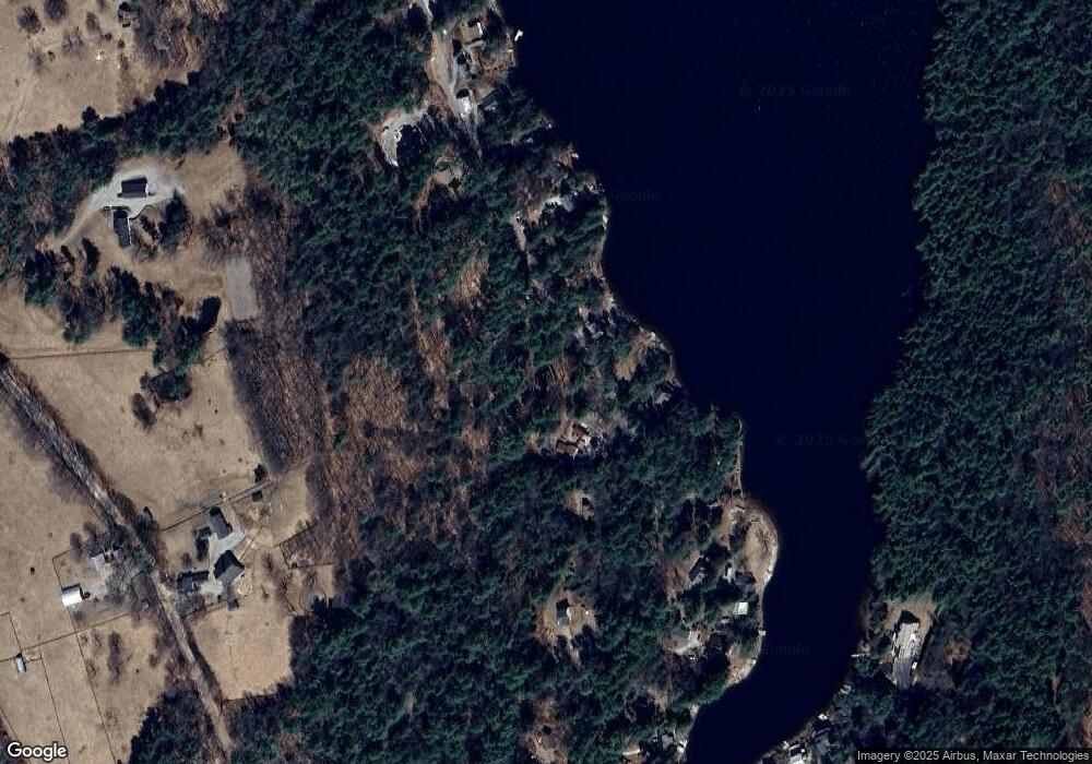
Map
- 16 Dels Way
- 6 Chester Dr
- 62 Collins Landing Rd Unit 47
- 62 Collins Landing Rd Unit 50
- 62 Collins Landing Rd Unit 62
- 40 Collins Landing Rd Unit 7
- 35 Collins Landing Rd Unit 32
- 15 Chevey Hill Rd
- Map 201 Lot 114 Thorndike Rd
- 236 Buckley Rd
- 194 Buckley Rd Unit 5
- 194 Buckley Rd Unit 2
- 194 Buckley Rd Unit 125
- 281 Hodgdon Rd
- 123 Cross Rd
- 17 Driscoll Rd
- 162 Hodgdon Rd
- 433 North Rd
- 103 Flanders Memorial Rd
- 18 Lafrance Rd
Ask me questions while you tour the home.