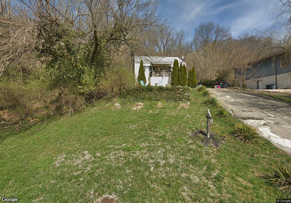
81 Brower Rd North Bend, OH 45052
Estimated Value: $99,000 - $157,000
2
Beds
1
Bath
968
Sq Ft
$125/Sq Ft
Est. Value
About This Home
This home is located at 81 Brower Rd, North Bend, OH 45052 and is currently estimated at $120,826, approximately $124 per square foot. 81 Brower Rd is a home located in Hamilton County with nearby schools including Charles T. Young Elementary School, Taylor Middle School, and Taylor High School.
Ownership History
Date
Name
Owned For
Owner Type
Purchase Details
Closed on
Aug 4, 1998
Sold by
Donald Seeley
Bought by
Seeley Darlene
Current Estimated Value
Home Financials for this Owner
Home Financials are based on the most recent Mortgage that was taken out on this home.
Original Mortgage
$2,371
Outstanding Balance
$490
Interest Rate
6.81%
Mortgage Type
Seller Take Back
Estimated Equity
$120,336
Purchase Details
Closed on
Mar 8, 1996
Sold by
Hancock Charles and Hancock Ruby L
Bought by
Seeley Donald and Seeley Darlene
Create a Home Valuation Report for This Property
The Home Valuation Report is an in-depth analysis detailing your home's value as well as a comparison with similar homes in the area
Home Values in the Area
Average Home Value in this Area
Purchase History
| Date | Buyer | Sale Price | Title Company |
|---|---|---|---|
| Seeley Darlene | -- | -- | |
| Seeley Donald | -- | -- |
Source: Public Records
Mortgage History
| Date | Status | Borrower | Loan Amount |
|---|---|---|---|
| Open | Seeley Darlene | $2,371 |
Source: Public Records
Tax History Compared to Growth
Tax History
| Year | Tax Paid | Tax Assessment Tax Assessment Total Assessment is a certain percentage of the fair market value that is determined by local assessors to be the total taxable value of land and additions on the property. | Land | Improvement |
|---|---|---|---|---|
| 2024 | $1,110 | $21,861 | $5,859 | $16,002 |
| 2023 | $1,114 | $21,861 | $5,859 | $16,002 |
| 2022 | $1,019 | $16,422 | $5,502 | $10,920 |
| 2021 | $996 | $16,422 | $5,502 | $10,920 |
| 2020 | $984 | $16,422 | $5,502 | $10,920 |
| 2019 | $914 | $14,665 | $4,914 | $9,751 |
| 2018 | $845 | $14,665 | $4,914 | $9,751 |
| 2017 | $852 | $14,665 | $4,914 | $9,751 |
| 2016 | $789 | $13,927 | $4,522 | $9,405 |
| 2015 | $796 | $13,927 | $4,522 | $9,405 |
| 2014 | $805 | $13,927 | $4,522 | $9,405 |
| 2013 | $878 | $15,138 | $4,914 | $10,224 |
Source: Public Records
Map
Nearby Homes
- 36 Timberline Ct
- 7284 W Harrison Ave
- 143 Mount Nebo Rd
- 2700 Rittenhouse Rd
- 118 Mount Nebo Rd
- 21 Wamsley Ave
- 100 Mount Nebo Rd
- 42 Edinburgh Place Unit 42
- 9807 Miamiview Rd
- 101 E State Rd
- 110 Elliott St
- 0 Saint Annes Unit 1826785
- 301 N Miami Ave
- 540 Aston View Ln
- 9750 Hooven Ave
- 517 E State Rd
- 505 Aston View Ln
- 116 Scott St
- 108 Scott St
- 115 Fox Hills Ln
- 69 Brower Rd
- 67 Brower Rd
- 89 Brower Rd
- 65 Brower Rd
- 95 Brower Rd
- 101 Cliff Rd
- 55 Brower Rd
- 101 Brower Rd
- 120 Cliff Rd
- 105 Cliff Rd
- 114 Cliff Rd
- 119 Cliff Rd
- 104 Cliff Rd
- 38 Cliff Rd Unit Lt 38
- 37 Cliff Rd Unit Lt 37
- 0 Cliff Rd
- 23 Cliff Rd Unit Lt 23
- 23 Cliff Rd Unit Lt 23
- 25 Cliff Rd Unit Lt 25
- 96 Cliff Rd