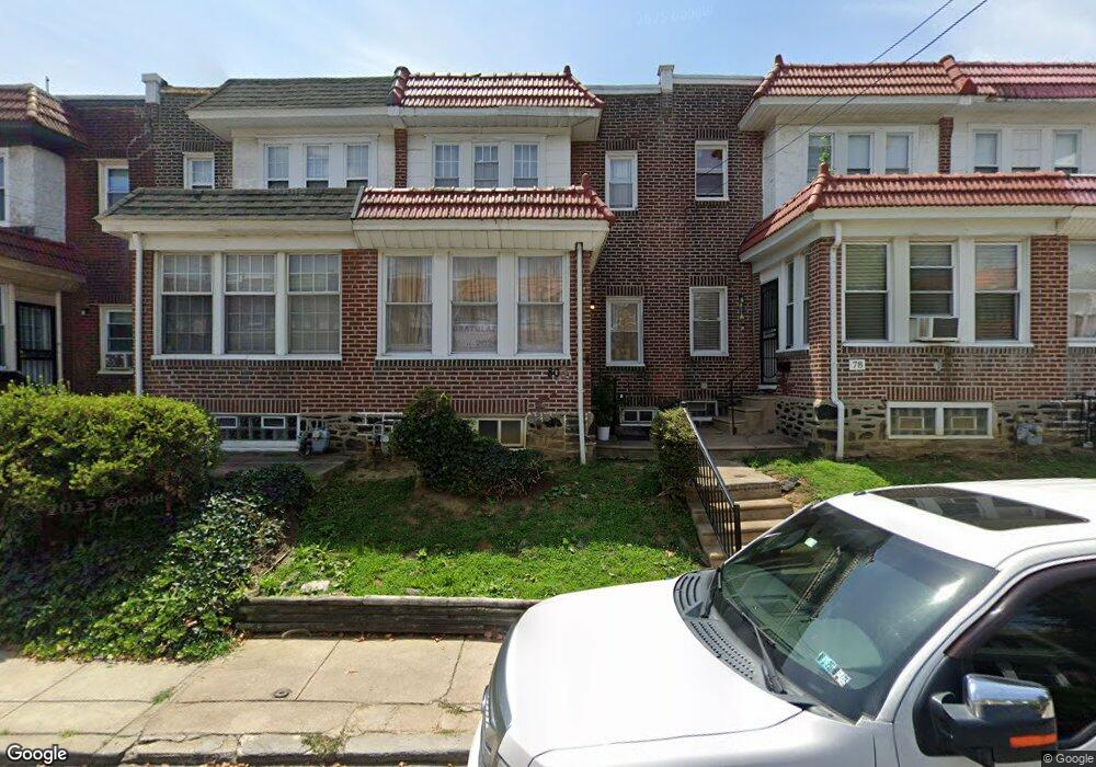
81 Burnside Ave Sharon Hill, PA 19079
Estimated Value: $163,000 - $205,000
3
Beds
1
Bath
1,240
Sq Ft
$147/Sq Ft
Est. Value
About This Home
This home is located at 81 Burnside Ave, Sharon Hill, PA 19079 and is currently estimated at $182,736, approximately $147 per square foot. 81 Burnside Ave is a home located in Delaware County with nearby schools including Sharon Hill School, Academy Park High School, and Liberty Baptist Academy.
Ownership History
Date
Name
Owned For
Owner Type
Purchase Details
Closed on
Jun 21, 2002
Sold by
Locke Mary E and Locke William H
Bought by
Hudgins Aneisea
Current Estimated Value
Home Financials for this Owner
Home Financials are based on the most recent Mortgage that was taken out on this home.
Original Mortgage
$48,403
Outstanding Balance
$20,480
Interest Rate
6.82%
Estimated Equity
$162,256
Create a Home Valuation Report for This Property
The Home Valuation Report is an in-depth analysis detailing your home's value as well as a comparison with similar homes in the area
Home Values in the Area
Average Home Value in this Area
Purchase History
| Date | Buyer | Sale Price | Title Company |
|---|---|---|---|
| Hudgins Aneisea | $49,900 | -- |
Source: Public Records
Mortgage History
| Date | Status | Borrower | Loan Amount |
|---|---|---|---|
| Open | Hudgins Aneisea | $48,403 | |
| Closed | Hudgins Aneisea | $4,000 |
Source: Public Records
Tax History Compared to Growth
Tax History
| Year | Tax Paid | Tax Assessment Tax Assessment Total Assessment is a certain percentage of the fair market value that is determined by local assessors to be the total taxable value of land and additions on the property. | Land | Improvement |
|---|---|---|---|---|
| 2025 | $3,347 | $79,850 | $22,560 | $57,290 |
| 2024 | $3,347 | $79,850 | $22,560 | $57,290 |
| 2023 | $3,173 | $79,850 | $22,560 | $57,290 |
| 2022 | $3,079 | $79,850 | $22,560 | $57,290 |
| 2021 | $4,357 | $79,850 | $22,560 | $57,290 |
| 2020 | $2,862 | $48,910 | $16,450 | $32,460 |
| 2019 | $2,763 | $48,910 | $16,450 | $32,460 |
| 2018 | $2,687 | $48,910 | $0 | $0 |
| 2017 | $2,632 | $48,910 | $0 | $0 |
| 2016 | $268 | $48,910 | $0 | $0 |
| 2015 | $268 | $48,910 | $0 | $0 |
| 2014 | $268 | $48,910 | $0 | $0 |
Source: Public Records
Map
Nearby Homes
- 71 Burnside Ave
- 200 Barker Ave
- 118 Juliana Terrace
- 81 Florence Ave
- 105 Jackson Ave
- 211 Ridley Ave
- 209 Pusey Ave
- 418 Pusey Ave Unit 95
- 230 Felton Ave
- 50 Foster Ave
- 235 Felton Ave
- 238 Jackson Ave
- 605 Andrews Ave
- 515 Andrews Ave
- 44 High St
- 149 Wayne Ave
- 308 Clifton Ave
- 164 Wayne Ave
- 328 Clifton Ave
- 222 Collingdale Ave