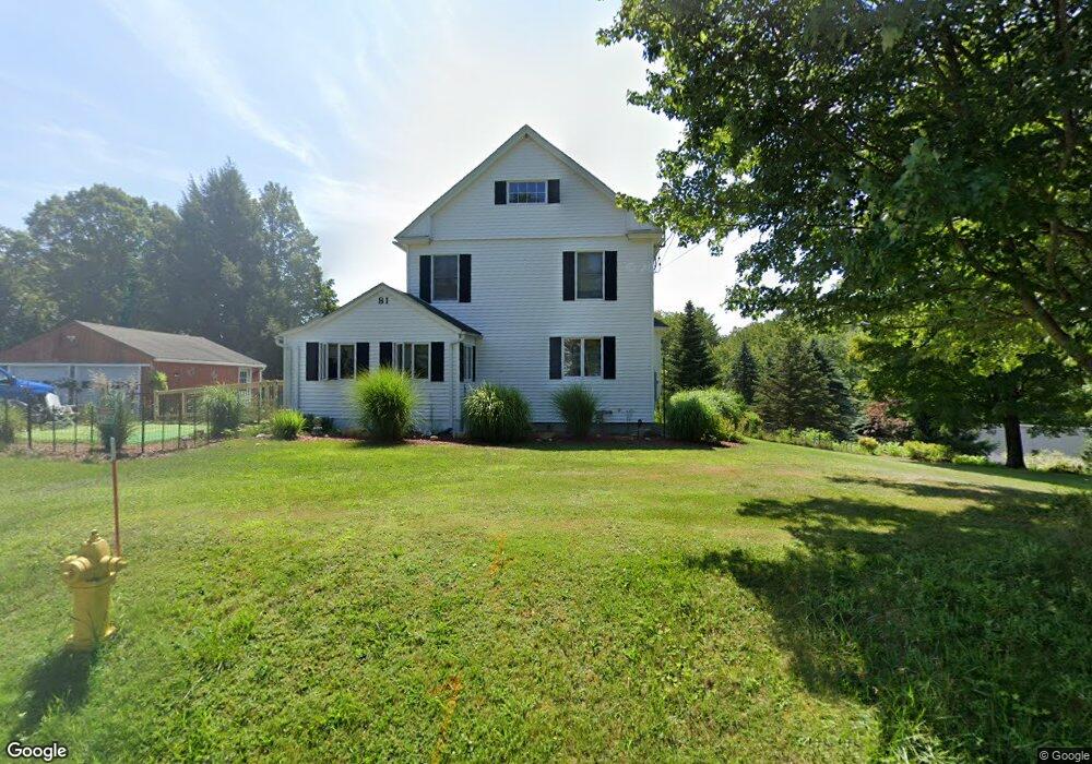
81 Caroline St Pittsfield, MA 01201
Estimated Value: $236,000 - $274,000
4
Beds
1
Bath
1,344
Sq Ft
$186/Sq Ft
Est. Value
About This Home
This home is located at 81 Caroline St, Pittsfield, MA 01201 and is currently estimated at $250,120, approximately $186 per square foot. 81 Caroline St is a home located in Berkshire County with nearby schools including Stearns Elementary School, John T. Reid Middle School, and Taconic High School.
Ownership History
Date
Name
Owned For
Owner Type
Purchase Details
Closed on
Apr 17, 2024
Sold by
Wechter Roger F
Bought by
Wechter Tracey L
Current Estimated Value
Purchase Details
Closed on
Oct 2, 1978
Bought by
Wechter Roger F and Wechter Carol L
Create a Home Valuation Report for This Property
The Home Valuation Report is an in-depth analysis detailing your home's value as well as a comparison with similar homes in the area
Home Values in the Area
Average Home Value in this Area
Purchase History
| Date | Buyer | Sale Price | Title Company |
|---|---|---|---|
| Wechter Tracey L | -- | None Available | |
| Wechter Tracey L | -- | None Available | |
| Wechter Tracey L | -- | None Available | |
| Wechter Roger F | $28,000 | -- |
Source: Public Records
Mortgage History
| Date | Status | Borrower | Loan Amount |
|---|---|---|---|
| Previous Owner | Wechter Roger F | $25,000 | |
| Previous Owner | Wechter Roger F | $118,621 | |
| Previous Owner | Wechter Roger F | $80,000 | |
| Previous Owner | Wechter Roger F | $41,999 |
Source: Public Records
Tax History Compared to Growth
Tax History
| Year | Tax Paid | Tax Assessment Tax Assessment Total Assessment is a certain percentage of the fair market value that is determined by local assessors to be the total taxable value of land and additions on the property. | Land | Improvement |
|---|---|---|---|---|
| 2025 | $3,656 | $203,800 | $69,700 | $134,100 |
| 2024 | $3,513 | $190,400 | $69,700 | $120,700 |
| 2023 | $3,301 | $180,200 | $69,700 | $110,500 |
| 2022 | $3,103 | $167,200 | $69,700 | $97,500 |
| 2021 | $2,984 | $155,000 | $69,700 | $85,300 |
| 2020 | $2,744 | $139,200 | $56,700 | $82,500 |
| 2019 | $2,571 | $132,400 | $52,700 | $79,700 |
| 2018 | $2,595 | $129,700 | $52,700 | $77,000 |
| 2017 | $2,432 | $123,900 | $49,700 | $74,200 |
| 2016 | $2,292 | $122,200 | $49,700 | $72,500 |
| 2015 | $2,207 | $122,200 | $49,700 | $72,500 |
Source: Public Records
Map
Nearby Homes
- 24 Lebanon Ave
- 191 Fort Hill Ave
- L 105,106 Barker Rd
- 149 Fort Hill Ave
- 32 Mead Ave
- 47 Gale Ave
- 208 Jason St
- 103 Stearns Ave
- Lot #112 Cadwell Rd
- 90 Jones Ave
- 0 Jones Ave
- 36 Roberta Rd
- 712 Barker Rd
- 2 Amy Ct Unit 2
- 209 Velma Ave
- 26 Churchill Crest
- 40 Churchill St
- 20 Greenway St
- 44 Churchill Crest Unit 44
- 46 Churchill Crest Unit 46
- 75 Caroline St
- 34 Hungerford St
- 30 Hungerford St
- 20 Hungerford St
- 82 Caroline St
- 40 Hungerford St
- 64 Caroline St
- 836 W Housatonic St
- 834 W Housatonic St
- 86 Caroline St
- 53 Caroline St
- 56 Caroline St
- 856 W Housatonic St
- 828 W Housatonic St
- 0 Caroline St
- 851 W Housatonic St
- 49 Caroline St
- 824 W Housatonic St
- 868 W Housatonic St
- 80 Caroline St