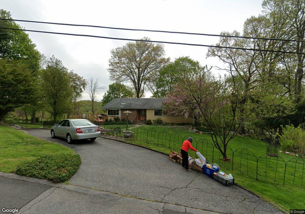
81 Cedar Dr E Briarcliff Manor, NY 10510
Estimated Value: $1,058,000 - $1,425,000
5
Beds
3
Baths
2,900
Sq Ft
$423/Sq Ft
Est. Value
About This Home
This home is located at 81 Cedar Dr E, Briarcliff Manor, NY 10510 and is currently estimated at $1,225,479, approximately $422 per square foot. 81 Cedar Dr E is a home located in Westchester County with nearby schools including Todd Elementary School, Briarcliff Middle School, and Briarcliff High School.
Ownership History
Date
Name
Owned For
Owner Type
Purchase Details
Closed on
Oct 9, 2014
Sold by
Tao Tao and Zhao Wei
Bought by
Zhao Wei
Current Estimated Value
Purchase Details
Closed on
Aug 13, 2007
Sold by
Gallo Sergio and Gallo Donna
Bought by
Tao Tao and Zhao Wei
Home Financials for this Owner
Home Financials are based on the most recent Mortgage that was taken out on this home.
Original Mortgage
$560,000
Interest Rate
6.42%
Mortgage Type
Purchase Money Mortgage
Purchase Details
Closed on
Mar 29, 1999
Sold by
Collen Jess M and Collen Jane F
Bought by
Gallo Sergio and Gallo Donna
Home Financials for this Owner
Home Financials are based on the most recent Mortgage that was taken out on this home.
Original Mortgage
$402,300
Interest Rate
6.95%
Mortgage Type
Purchase Money Mortgage
Create a Home Valuation Report for This Property
The Home Valuation Report is an in-depth analysis detailing your home's value as well as a comparison with similar homes in the area
Home Values in the Area
Average Home Value in this Area
Purchase History
| Date | Buyer | Sale Price | Title Company |
|---|---|---|---|
| Zhao Wei | -- | None Available | |
| Tao Tao | $725,000 | Benchmark Title Agency Llc | |
| Gallo Sergio | $447,000 | Commonwealth Land Title Ins |
Source: Public Records
Mortgage History
| Date | Status | Borrower | Loan Amount |
|---|---|---|---|
| Previous Owner | Tao Tao | $560,000 | |
| Previous Owner | Gallo Sergio | $402,300 |
Source: Public Records
Tax History
| Year | Tax Paid | Tax Assessment Tax Assessment Total Assessment is a certain percentage of the fair market value that is determined by local assessors to be the total taxable value of land and additions on the property. | Land | Improvement |
|---|---|---|---|---|
| 2024 | $19,997 | $799,800 | $442,600 | $357,200 |
| 2023 | $18,331 | $737,800 | $442,600 | $295,200 |
| 2022 | $18,078 | $663,400 | $442,600 | $220,800 |
| 2021 | $19,551 | $687,100 | $442,600 | $244,500 |
| 2020 | $17,673 | $687,100 | $442,600 | $244,500 |
| 2019 | $17,743 | $625,000 | $442,600 | $182,400 |
| 2018 | $43,417 | $625,000 | $442,600 | $182,400 |
| 2017 | $12,570 | $688,600 | $442,600 | $246,000 |
| 2016 | $233,429 | $668,600 | $442,600 | $226,000 |
| 2015 | $13,157 | $32,000 | $11,000 | $21,000 |
| 2014 | $13,157 | $32,000 | $11,000 | $21,000 |
| 2013 | $13,157 | $32,000 | $11,000 | $21,000 |
Source: Public Records
Map
Nearby Homes
- 44 Elm Rd
- 518 Pleasantville Rd
- 620 Sleepy Hollow Rd
- 25 Maple Rd
- 858 Pleasantville Rd
- 637 Long Hill Rd W
- 33 Roselle Ave Unit K
- 10 Rosehill Rd
- 580 Bedford Rd Unit 20
- 75 Colby Ln
- 270 Law Rd
- 7 Dunn Ln
- 842 Sleepy Hollow Rd
- 2 Lodge Rd
- 22 Copley Ct Unit 22
- 132 Ridgecrest Rd
- 309 Scarborough Rd
- 177 Old Briarcliff Rd
- 7 Elsa Ave
- 48 Cypress Ln
Your Personal Tour Guide
Ask me questions while you tour the home.