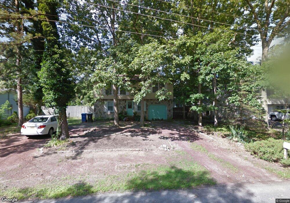
81 Cornell Dr Manahawkin, NJ 08050
Stafford NeighborhoodEstimated Value: $461,915 - $524,000
3
Beds
2
Baths
1,452
Sq Ft
$343/Sq Ft
Est. Value
About This Home
This home is located at 81 Cornell Dr, Manahawkin, NJ 08050 and is currently estimated at $497,479, approximately $342 per square foot. 81 Cornell Dr is a home located in Ocean County with nearby schools including Oxycocus Elementary School, Ocean Acres Elementary School, and McKinley Avenue Elementary School.
Ownership History
Date
Name
Owned For
Owner Type
Purchase Details
Closed on
Jun 9, 2000
Sold by
Pickert Elwood
Bought by
Malone Paul and Malone Linda
Current Estimated Value
Home Financials for this Owner
Home Financials are based on the most recent Mortgage that was taken out on this home.
Original Mortgage
$139,050
Outstanding Balance
$49,090
Interest Rate
8.24%
Mortgage Type
VA
Estimated Equity
$448,389
Create a Home Valuation Report for This Property
The Home Valuation Report is an in-depth analysis detailing your home's value as well as a comparison with similar homes in the area
Home Values in the Area
Average Home Value in this Area
Purchase History
| Date | Buyer | Sale Price | Title Company |
|---|---|---|---|
| Malone Paul | $135,000 | -- |
Source: Public Records
Mortgage History
| Date | Status | Borrower | Loan Amount |
|---|---|---|---|
| Open | Malone Paul | $139,050 |
Source: Public Records
Tax History Compared to Growth
Tax History
| Year | Tax Paid | Tax Assessment Tax Assessment Total Assessment is a certain percentage of the fair market value that is determined by local assessors to be the total taxable value of land and additions on the property. | Land | Improvement |
|---|---|---|---|---|
| 2025 | $4,931 | $198,600 | $84,600 | $114,000 |
| 2024 | $4,884 | $198,600 | $84,600 | $114,000 |
| 2023 | $4,675 | $198,600 | $84,600 | $114,000 |
| 2022 | $4,675 | $198,600 | $84,600 | $114,000 |
| 2021 | $4,611 | $198,600 | $84,600 | $114,000 |
| 2020 | $4,617 | $198,600 | $84,600 | $114,000 |
| 2019 | $4,552 | $198,600 | $84,600 | $114,000 |
| 2018 | $4,524 | $198,600 | $84,600 | $114,000 |
| 2017 | $4,431 | $188,300 | $84,600 | $103,700 |
| 2016 | $4,386 | $188,300 | $84,600 | $103,700 |
| 2015 | $4,231 | $188,300 | $84,600 | $103,700 |
| 2014 | $4,216 | $185,300 | $84,600 | $100,700 |
Source: Public Records
Map
Nearby Homes
- 118 N Lakeshore Dr
- 128 Rowan Ct
- 155 Littleworth Rd
- 159 Littleworth Rd
- 151 Littleworth Rd
- 557 Mermaid Dr
- 223 Hilliard Blvd
- 247 Hilliard Blvd
- 520 Cedar Run Ln
- 25 N Union St
- 36 Fort Lee Dr
- 18 Maple Tree Ct
- 6 Hillsdale Ct
- 75 Perry Ln
- 5 Pine Cone Ln
- 3 Bryce Ln Unit 1502
- 3 Bryce Ln
- 55 Bryce Ln Unit 1408
- 106 Bryce Ln Unit 802
- 384 Hilliard Blvd
- 77 Cornell Dr
- 85 Cornell Dr
- 173 Rutgers Ave
- 84 Lafayette Dr
- 73 Cornell Dr
- 88 Lafayette Dr
- 80 Lafayette Dr
- 82 Cornell Dr
- 78 Cornell Dr
- 74 Cornell Dr
- 69 Cornell Dr
- 76 Lafayette Dr
- 178 Rutgers Ave
- 174 Rutgers Ave
- 189 Rutgers Ave
- 182 Rutgers Ave
- 170 Rutgers Ave
- 70 Cornell Dr
- 165 Rutgers Ave
- 72 Lafayette Dr