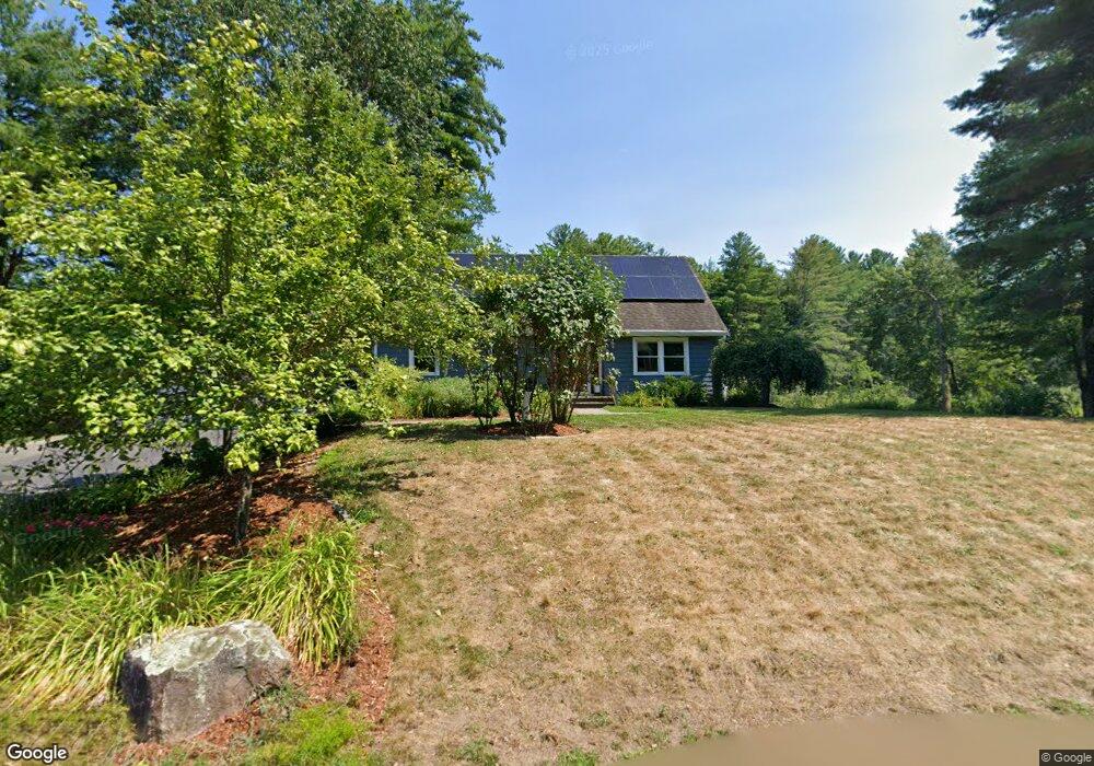
81 Craigie Cir Carlisle, MA 01741
Estimated Value: $1,076,000 - $1,343,000
4
Beds
2
Baths
1,907
Sq Ft
$611/Sq Ft
Est. Value
About This Home
This home is located at 81 Craigie Cir, Carlisle, MA 01741 and is currently estimated at $1,165,587, approximately $611 per square foot. 81 Craigie Cir is a home located in Middlesex County with nearby schools including Carlisle School.
Ownership History
Date
Name
Owned For
Owner Type
Purchase Details
Closed on
May 28, 2009
Sold by
Rourk Jeanne F Est and Kearney
Bought by
Cole Kenneth J and Cole Catherine H
Current Estimated Value
Home Financials for this Owner
Home Financials are based on the most recent Mortgage that was taken out on this home.
Original Mortgage
$348,000
Outstanding Balance
$221,054
Interest Rate
4.87%
Mortgage Type
Purchase Money Mortgage
Estimated Equity
$944,533
Create a Home Valuation Report for This Property
The Home Valuation Report is an in-depth analysis detailing your home's value as well as a comparison with similar homes in the area
Home Values in the Area
Average Home Value in this Area
Purchase History
| Date | Buyer | Sale Price | Title Company |
|---|---|---|---|
| Cole Kenneth J | $435,000 | -- | |
| Cole Kenneth J | $435,000 | -- |
Source: Public Records
Mortgage History
| Date | Status | Borrower | Loan Amount |
|---|---|---|---|
| Open | Cole Kenneth J | $50,000 | |
| Open | Cole Kenneth J | $348,000 | |
| Closed | Cole Kenneth J | $348,000 |
Source: Public Records
Tax History Compared to Growth
Tax History
| Year | Tax Paid | Tax Assessment Tax Assessment Total Assessment is a certain percentage of the fair market value that is determined by local assessors to be the total taxable value of land and additions on the property. | Land | Improvement |
|---|---|---|---|---|
| 2025 | $12,808 | $971,800 | $544,900 | $426,900 |
| 2024 | $12,814 | $961,300 | $500,900 | $460,400 |
| 2023 | $13,486 | $953,100 | $500,900 | $452,200 |
| 2022 | $11,677 | $707,700 | $413,800 | $293,900 |
| 2021 | $11,521 | $707,700 | $413,800 | $293,900 |
| 2020 | $10,491 | $571,400 | $326,700 | $244,700 |
| 2019 | $10,353 | $563,300 | $326,700 | $236,600 |
| 2018 | $3,387 | $563,300 | $326,700 | $236,600 |
| 2017 | $9,844 | $558,700 | $326,700 | $232,000 |
| 2016 | $9,610 | $558,700 | $326,700 | $232,000 |
| 2015 | $9,506 | $500,300 | $313,600 | $186,700 |
| 2014 | $9,326 | $500,300 | $313,600 | $186,700 |
Source: Public Records
Map
Nearby Homes
- 282 Brook St
- 373 E Riding Dr
- 383 E Riding Dr
- 125 Maple St
- 11 Kay's Walk
- 63 Outlook Rd
- 6 Edgehill Rd
- 43 Outlook Rd
- 4 Dove Ln
- 7 Alder Way Unit 159
- 5 Chestnut Ln Unit 120
- 198 Nashua Rd
- 3 Kay's Walk
- 15 Kay's Walk
- 1 Kay's Walk Unit 1
- 1 Kay's Walk
- 13 Kay's Walk
- 15 Kay's Walk Unit 4
- 3 Kay's Walk Unit 3
- 7 Stonegate Ln Unit 134
- 84 Craigie Cir
- 59 Craigie Cir
- 111 Craigie Cir
- 45 Craigie Cir
- 75 Peter Hans Rd
- 125 Craigie Cir
- 19 Craigie Cir
- 43 Peter Hans Rd
- 391 Maple St
- 74 Peter Hans Rd
- 419 Maple St
- 357 Maple St
- 56 Peter Hans Rd
- 203 Peter Hans Rd
- 188 Peter Hans Rd
- 491 Maple St
- 339 Maple St
- 35 Peter Hans Rd
- 121 Page Brook Rd
- 120 Peter Hans Rd