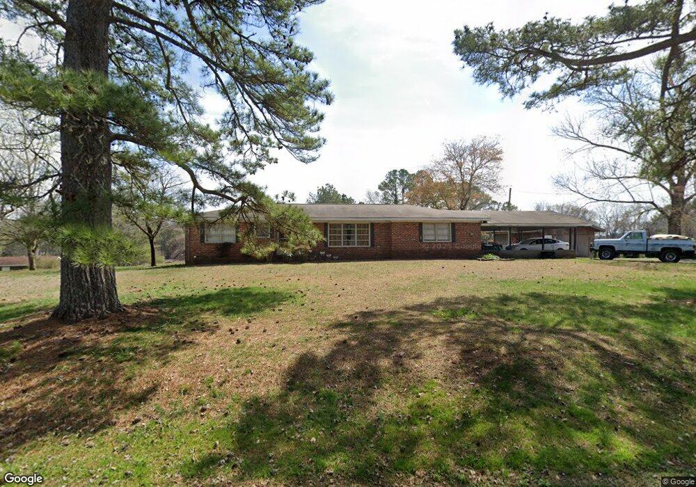
81 Crest Dr Rock Spring, GA 30739
Rock Spring NeighborhoodEstimated Value: $183,000 - $247,000
Studio
2
Baths
1,538
Sq Ft
$141/Sq Ft
Est. Value
About This Home
This home is located at 81 Crest Dr, Rock Spring, GA 30739 and is currently estimated at $216,556, approximately $140 per square foot. 81 Crest Dr is a home located in Walker County with nearby schools including Rock Spring Elementary School, Lafayette High School, and Alice M Daley Adventist School.
Ownership History
Date
Name
Owned For
Owner Type
Purchase Details
Closed on
Aug 20, 1991
Sold by
Queen Paul L and Queen Marilyn
Bought by
Queen Marilyn M
Current Estimated Value
Purchase Details
Closed on
Nov 27, 1970
Bought by
Queen Paul L and Queen Marilyn
Create a Home Valuation Report for This Property
The Home Valuation Report is an in-depth analysis detailing your home's value as well as a comparison with similar homes in the area
Home Values in the Area
Average Home Value in this Area
Purchase History
| Date | Buyer | Sale Price | Title Company |
|---|---|---|---|
| Queen Marilyn M | -- | -- | |
| Queen Paul L | -- | -- |
Source: Public Records
Tax History
| Year | Tax Paid | Tax Assessment Tax Assessment Total Assessment is a certain percentage of the fair market value that is determined by local assessors to be the total taxable value of land and additions on the property. | Land | Improvement |
|---|---|---|---|---|
| 2025 | $303 | $69,073 | $5,324 | $63,749 |
| 2024 | $312 | $66,080 | $4,840 | $61,240 |
| 2023 | $265 | $62,906 | $4,840 | $58,066 |
| 2022 | $162 | $54,842 | $4,840 | $50,002 |
| 2021 | $163 | $44,909 | $4,840 | $40,069 |
| 2020 | $164 | $38,183 | $4,840 | $33,343 |
| 2019 | $164 | $38,183 | $4,840 | $33,343 |
| 2018 | $1,010 | $38,183 | $4,840 | $33,343 |
| 2017 | $298 | $38,183 | $4,840 | $33,343 |
| 2016 | $139 | $38,183 | $4,840 | $33,343 |
| 2015 | $1,033 | $36,658 | $7,764 | $28,894 |
| 2014 | $939 | $36,658 | $7,764 | $28,894 |
| 2013 | -- | $36,657 | $7,764 | $28,893 |
Source: Public Records
Map
Nearby Homes
- 00 Georgia 95
- 797 Roy Bird Rd
- 1003 Highway N Old 27
- 1909 Old Lafayette Rd
- 348 Straight Gut Rd
- 1985 Peavine Rd
- 40 Blessed Way
- 1121 Arnold Rd
- 74 Hanshaw Dr
- 229 E Turnipseed Rd
- 136 Ginger Lake Dr
- 788 Long Hollow Rd
- 109 Rory Dr
- 22 Willow Cir
- 130 Hankins Rd
- 488 Guy Williams Rd
- 498 Guy Williams Rd
- 532 Guy Williams Rd
- 918 Old Lafayette Rd
- 686 Bell Rd
Your Personal Tour Guide
Ask me questions while you tour the home.