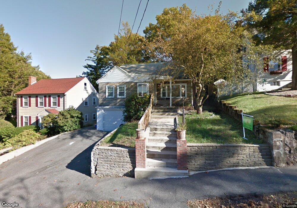
81 Crown St Milton, MA 02186
Brush Hill NeighborhoodEstimated Value: $725,000 - $828,000
4
Beds
2
Baths
1,350
Sq Ft
$566/Sq Ft
Est. Value
About This Home
This home is located at 81 Crown St, Milton, MA 02186 and is currently estimated at $764,138, approximately $566 per square foot. 81 Crown St is a home located in Norfolk County with nearby schools including Milton High School, KIPP Academy Boston Charter School, and St. Mary of the Hills School.
Ownership History
Date
Name
Owned For
Owner Type
Purchase Details
Closed on
Oct 7, 2013
Sold by
Roberson Mandel
Bought by
Guerrier-Roberson Marie
Current Estimated Value
Purchase Details
Closed on
Nov 30, 2004
Sold by
Fall Josephine C
Bought by
Roberson Mandel
Home Financials for this Owner
Home Financials are based on the most recent Mortgage that was taken out on this home.
Original Mortgage
$240,000
Interest Rate
5.75%
Mortgage Type
Purchase Money Mortgage
Create a Home Valuation Report for This Property
The Home Valuation Report is an in-depth analysis detailing your home's value as well as a comparison with similar homes in the area
Home Values in the Area
Average Home Value in this Area
Purchase History
| Date | Buyer | Sale Price | Title Company |
|---|---|---|---|
| Guerrier-Roberson Marie | -- | -- | |
| Roberson Mandel | $300,000 | -- |
Source: Public Records
Mortgage History
| Date | Status | Borrower | Loan Amount |
|---|---|---|---|
| Previous Owner | Roberson Mandel | $240,000 | |
| Previous Owner | Roberson Mandel | $60,000 |
Source: Public Records
Tax History
| Year | Tax Paid | Tax Assessment Tax Assessment Total Assessment is a certain percentage of the fair market value that is determined by local assessors to be the total taxable value of land and additions on the property. | Land | Improvement |
|---|---|---|---|---|
| 2025 | $7,000 | $631,200 | $360,100 | $271,100 |
| 2024 | $6,953 | $636,700 | $360,100 | $276,600 |
| 2023 | $6,947 | $609,400 | $358,800 | $250,600 |
| 2022 | $6,905 | $553,700 | $358,800 | $194,900 |
| 2021 | $6,557 | $499,400 | $313,700 | $185,700 |
| 2020 | $6,235 | $475,200 | $290,000 | $185,200 |
| 2019 | $6,081 | $461,400 | $281,600 | $179,800 |
| 2018 | $5,489 | $397,500 | $223,300 | $174,200 |
| 2017 | $5,135 | $378,700 | $212,700 | $166,000 |
| 2016 | $4,882 | $361,600 | $199,400 | $162,200 |
| 2015 | $4,918 | $352,800 | $183,500 | $169,300 |
Source: Public Records
Map
Nearby Homes
- 16 Concord Ave Unit 1
- 29/31 Belvoir Rd
- 16 West St
- 82 Blue Hill Ave
- 7 Parkway Crescent
- 137 Thacher St Unit 137
- 30 Massasoit St
- 168 Brook Rd
- 75-77 Belnel Rd
- 16 Blue Hill Ave
- 46 Audubon Rd
- 214 Brook Rd
- 84 Blue Hills Pkwy
- 80 Blue Hills Pkwy
- 640 River St
- 24 Belnel Rd
- 645 River St
- 18 Fairfax Rd
- 485 Blue Hills Pkwy Unit 10
- 485 Blue Hills Pkwy Unit 12
- 77 Crown St
- 85 Crown St
- 73 Crown St
- 45 Decker St
- 45 Decker St Unit 1
- 32 Decker St
- 15-17 Lothrop Ave
- 15 Lothrop Ave Unit 17
- 61 Crown St
- 9 Lothrop Ave Unit 11
- 9 Lothrop Ave Unit 2
- 57 Crown St
- 19 Lothrop Ave
- 21 Lothrop Ave Unit 21A
- 21 Lothrop Ave Unit 2nd fl
- 47 Decker St
- 53 Crown St
- 26 Decker St
- 00 Decker St
- 23 Lothrop Ave
Your Personal Tour Guide
Ask me questions while you tour the home.