81 Danforth Rd Tyngsboro, MA 01879
Estimated Value: $1,013,221 - $1,175,000
4
Beds
3
Baths
3,669
Sq Ft
$300/Sq Ft
Est. Value
About This Home
This home is located at 81 Danforth Rd, Tyngsboro, MA 01879 and is currently estimated at $1,101,305, approximately $300 per square foot. 81 Danforth Rd is a home located in Middlesex County with nearby schools including Tyngsborough Elementary School, Tyngsborough Middle School, and Tyngsborough High School.
Ownership History
Date
Name
Owned For
Owner Type
Purchase Details
Closed on
May 28, 2008
Sold by
Acker Marie G
Bought by
Acker Frank L and Acker Marie G
Current Estimated Value
Home Financials for this Owner
Home Financials are based on the most recent Mortgage that was taken out on this home.
Original Mortgage
$460,000
Outstanding Balance
$293,061
Interest Rate
5.91%
Mortgage Type
Purchase Money Mortgage
Estimated Equity
$808,244
Purchase Details
Closed on
Jun 25, 2004
Sold by
Prime Group Inc
Bought by
Acker Marie G
Home Financials for this Owner
Home Financials are based on the most recent Mortgage that was taken out on this home.
Original Mortgage
$479,000
Interest Rate
6.32%
Mortgage Type
Purchase Money Mortgage
Create a Home Valuation Report for This Property
The Home Valuation Report is an in-depth analysis detailing your home's value as well as a comparison with similar homes in the area
Home Values in the Area
Average Home Value in this Area
Purchase History
| Date | Buyer | Sale Price | Title Company |
|---|---|---|---|
| Acker Frank L | -- | -- | |
| Acker Marie G | $598,950 | -- |
Source: Public Records
Mortgage History
| Date | Status | Borrower | Loan Amount |
|---|---|---|---|
| Open | Acker Frank L | $460,000 | |
| Previous Owner | Acker Marie G | $479,000 |
Source: Public Records
Tax History
| Year | Tax Paid | Tax Assessment Tax Assessment Total Assessment is a certain percentage of the fair market value that is determined by local assessors to be the total taxable value of land and additions on the property. | Land | Improvement |
|---|---|---|---|---|
| 2025 | $116 | $940,600 | $270,000 | $670,600 |
| 2024 | $11,618 | $913,400 | $263,300 | $650,100 |
| 2023 | $11,100 | $785,000 | $219,700 | $565,300 |
| 2022 | $10,724 | $717,800 | $191,400 | $526,400 |
| 2021 | $0 | $630,800 | $174,000 | $456,800 |
| 2020 | $0 | $608,800 | $165,300 | $443,500 |
| 2019 | $9,488 | $560,400 | $156,600 | $403,800 |
| 2018 | $0 | $545,700 | $156,600 | $389,100 |
| 2017 | $8,985 | $523,600 | $156,600 | $367,000 |
| 2016 | $8,729 | $497,100 | $156,600 | $340,500 |
| 2015 | $8,356 | $492,700 | $152,200 | $340,500 |
Source: Public Records
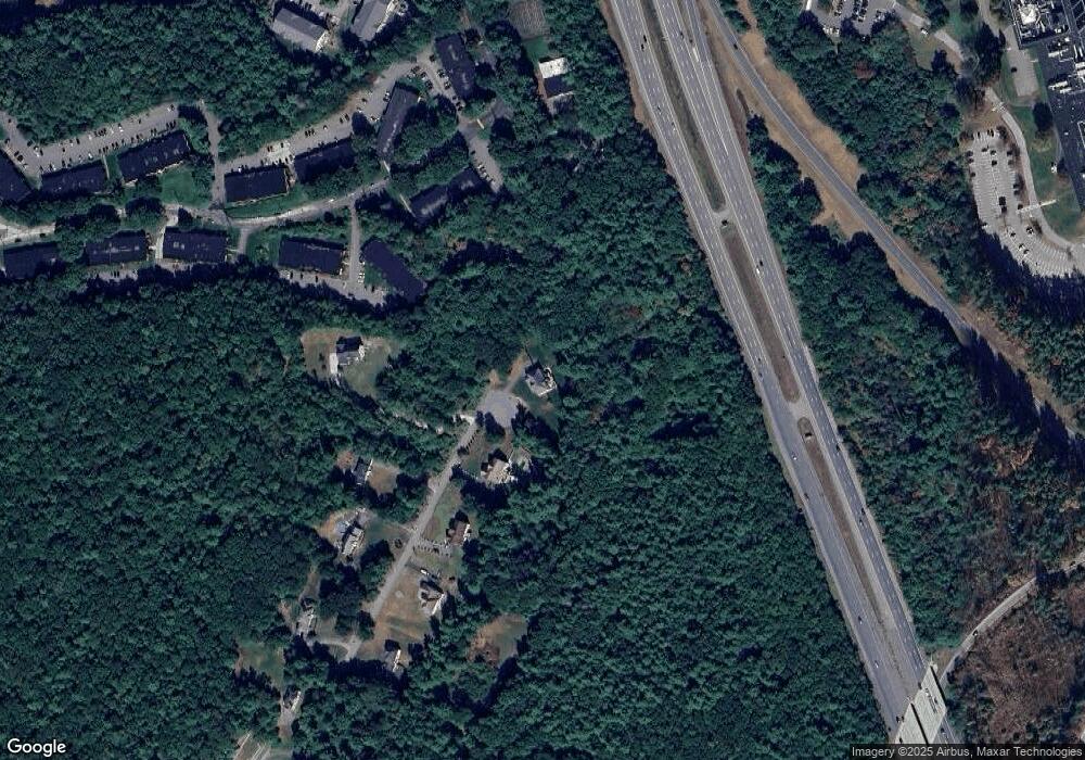
Map
Nearby Homes
- 4 Strawberry Bank Rd Unit 12
- 2 Strawberry Bank Rd Unit 17
- 4 Heritage Village Dr
- 210 Brook Village Rd Unit U43
- 210 Brook Village Rd Unit U38
- 103 Pondview Place Unit 103
- 3 Joyce Dr
- 38 Georgetown Dr
- 6 Green Heron Ln Unit U22
- 100 Farwell Rd
- 20 Georgetown Dr
- 4 Lisa Dr
- 139 Peele Rd
- 11 Lojko Dr
- 4 Thorndike St
- 8 Wilderness Dr
- 24 Shadwell Rd
- 58 Wilderness Dr
- 8 Hikers Ln
- 65 Wilderness Dr
- 79 Danforth Rd Unit 1
- 79 Danforth Rd
- 75 Danforth Rd
- 76 Danforth Rd
- 4 Strawberry Bank Rd Unit 5
- 4 Strawberry Bank Rd Unit 2
- 4 Strawberry Bank Rd Unit 8
- 4 Strawberry Bank Rd
- 4 Strawberry Bank Rd Unit U9
- 4 Strawberry Bank Rd Unit U8
- 4 Strawberry Bank Rd Unit U7
- 4 Strawberry Bank Rd Unit U6
- 4 Strawberry Bank Rd Unit U5
- 4 Strawberry Bank Rd Unit U4
- 4 Strawberry Bank Rd Unit U3
- 4 Strawberry Bank Rd Unit U24
- 4 Strawberry Bank Rd Unit U23
- 4 Strawberry Bank Rd Unit U22
- 4 Strawberry Bank Rd Unit U21
- 4 Strawberry Bank Rd Unit U20
Your Personal Tour Guide
Ask me questions while you tour the home.