81 E Jamar Rd Shelton, WA 98584
Estimated Value: $580,000 - $813,000
3
Beds
3
Baths
2,195
Sq Ft
$323/Sq Ft
Est. Value
About This Home
This home is located at 81 E Jamar Rd, Shelton, WA 98584 and is currently estimated at $707,939, approximately $322 per square foot. 81 E Jamar Rd is a home with nearby schools including Pioneer Primary School, Pioneer Intermediate/Middle School, and Abba's Garden Academy.
Ownership History
Date
Name
Owned For
Owner Type
Purchase Details
Closed on
Jun 30, 2005
Sold by
Pasquan Marvin J and Pasquan Jacqueline O
Bought by
Williams Matthew S and Muir Williams Kara L
Current Estimated Value
Home Financials for this Owner
Home Financials are based on the most recent Mortgage that was taken out on this home.
Original Mortgage
$238,500
Outstanding Balance
$120,673
Interest Rate
5.58%
Mortgage Type
Construction
Estimated Equity
$587,266
Create a Home Valuation Report for This Property
The Home Valuation Report is an in-depth analysis detailing your home's value as well as a comparison with similar homes in the area
Purchase History
| Date | Buyer | Sale Price | Title Company |
|---|---|---|---|
| Williams Matthew S | $37,500 | Mason County Title Ins Co |
Source: Public Records
Mortgage History
| Date | Status | Borrower | Loan Amount |
|---|---|---|---|
| Open | Williams Matthew S | $238,500 |
Source: Public Records
Tax History
| Year | Tax Paid | Tax Assessment Tax Assessment Total Assessment is a certain percentage of the fair market value that is determined by local assessors to be the total taxable value of land and additions on the property. | Land | Improvement |
|---|---|---|---|---|
| 2025 | $4,804 | $633,630 | $50,275 | $583,355 |
| 2024 | $4,804 | $623,055 | $63,355 | $559,700 |
| 2023 | $4,847 | $556,480 | $46,325 | $510,155 |
| 2022 | $3,735 | $391,620 | $37,360 | $354,260 |
| 2021 | $5,148 | $391,620 | $37,360 | $354,260 |
| 2020 | $5,382 | $496,585 | $36,625 | $459,960 |
| 2018 | $4,143 | $365,755 | $32,920 | $332,835 |
| 2017 | $3,102 | $365,755 | $32,920 | $332,835 |
| 2016 | $3,037 | $282,775 | $30,240 | $252,535 |
| 2015 | $2,782 | $276,340 | $29,295 | $247,045 |
| 2014 | -- | $281,830 | $29,925 | $251,905 |
| 2013 | -- | $278,225 | $28,350 | $249,875 |
Source: Public Records
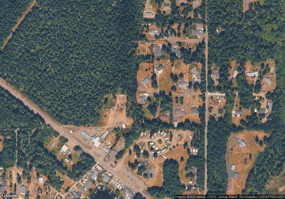
Map
Nearby Homes
- 10 E Lynda Ln W
- 51 E Lynda Ln W
- 0 E Strong Rd Unit 34 24009692
- 0 E Strong Rd Unit 43 24316768
- 0 E Strong Rd Unit 34 NWM2308734
- 0 E Strong Rd Unit 43 NWM2308755
- 0 E Pickering Rd Unit 26331204
- 0 E Cottonwood Dr Unit 13 NWM2308746
- 0 E Cottonwood Dr Unit 40
- 0 E Cottonwood Dr Unit 40 NWM2308766
- 0 E Cottonwood Dr Unit 13 24324515
- 4 E Cottonwood Dr
- 11 E Geist Point Rd
- 161 E Geist Point Dr
- 0 E Willchar Blvd
- 81 E Panorama Way
- 1671 E Phillips Lake Loop Rd
- 1651 E Phillips Lake Loop Rd
- 721 E Phillips Lake Loop Rd
- 1581 E Phillips Lake Loop Rd
- 61 E Jamar Rd
- 80 E Jamar Rd
- 60 E Jamar Rd
- 41 E Jamar Rd
- 40 E Jamar Rd
- 81 E Terri Lynn Ln
- 1111 E Pickering Rd
- 21 E Jamar Rd
- 61 E Terri Lynn Ln
- 20 E Jamar Rd
- 1071 E Pickering Rd
- 1071 E Pickering Rd
- 1085 E Pickering Rd
- 1083 E Pickering Rd
- 80 E Terri Lynn Ln
- 0 XXX E Probert Rd
- 0 PROBER E Probert Rd
- 30 E Jade Dr
- 31 E Jade Dr
- 1191 E Pickering Rd
Your Personal Tour Guide
Ask me questions while you tour the home.