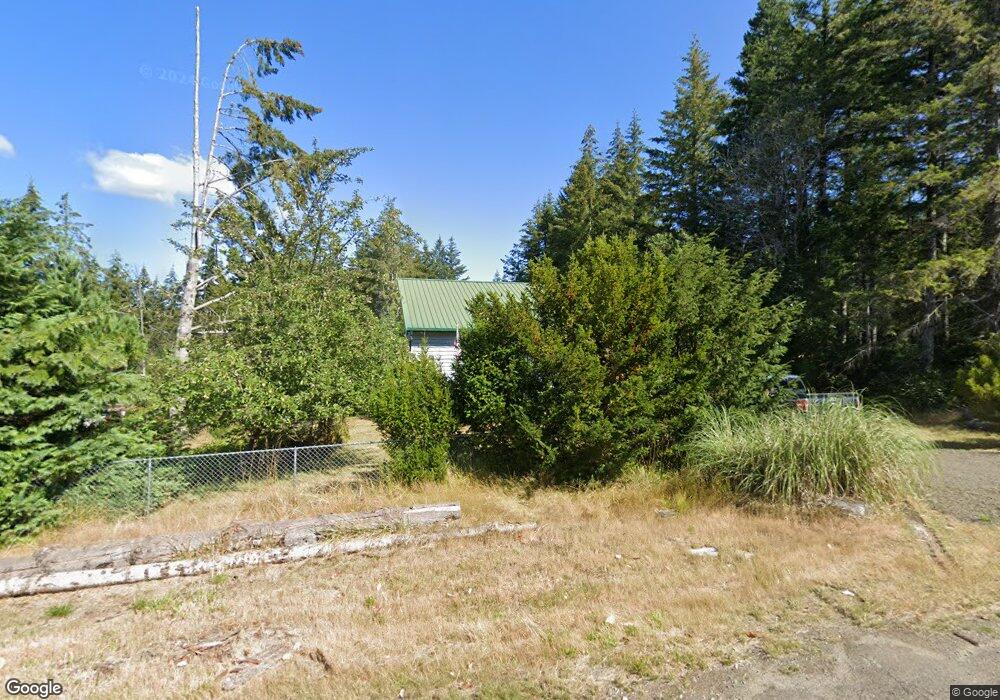
81 E Snowcrest Ln Shelton, WA 98584
Estimated Value: $371,229 - $452,000
2
Beds
2
Baths
1,168
Sq Ft
$342/Sq Ft
Est. Value
About This Home
This home is located at 81 E Snowcrest Ln, Shelton, WA 98584 and is currently estimated at $399,557, approximately $342 per square foot. 81 E Snowcrest Ln is a home located in Mason County with nearby schools including Pioneer Primary School, Pioneer Intermediate/Middle School, and Abba's Garden Academy.
Ownership History
Date
Name
Owned For
Owner Type
Purchase Details
Closed on
Sep 19, 2007
Sold by
Lund Deborah L
Bought by
Lund John W
Current Estimated Value
Home Financials for this Owner
Home Financials are based on the most recent Mortgage that was taken out on this home.
Original Mortgage
$167,600
Interest Rate
6.29%
Mortgage Type
VA
Create a Home Valuation Report for This Property
The Home Valuation Report is an in-depth analysis detailing your home's value as well as a comparison with similar homes in the area
Home Values in the Area
Average Home Value in this Area
Purchase History
| Date | Buyer | Sale Price | Title Company |
|---|---|---|---|
| Lund John W | -- | First American Title |
Source: Public Records
Mortgage History
| Date | Status | Borrower | Loan Amount |
|---|---|---|---|
| Closed | Lund John W | $167,600 |
Source: Public Records
Tax History Compared to Growth
Tax History
| Year | Tax Paid | Tax Assessment Tax Assessment Total Assessment is a certain percentage of the fair market value that is determined by local assessors to be the total taxable value of land and additions on the property. | Land | Improvement |
|---|---|---|---|---|
| 2025 | $2,294 | $290,165 | $49,950 | $240,215 |
| 2023 | $2,294 | $317,115 | $46,070 | $271,045 |
| 2022 | $2,273 | $235,640 | $37,150 | $198,490 |
| 2021 | $2,887 | $235,640 | $37,150 | $198,490 |
| 2020 | $2,759 | $276,725 | $36,420 | $240,305 |
| 2018 | $2,205 | $193,125 | $32,740 | $160,385 |
| 2017 | $1,748 | $193,120 | $32,735 | $160,385 |
| 2016 | $1,711 | $157,685 | $30,240 | $127,445 |
| 2015 | $1,570 | $154,040 | $29,295 | $124,745 |
| 2014 | -- | $157,250 | $29,925 | $127,325 |
| 2013 | -- | $154,645 | $28,350 | $126,295 |
Source: Public Records
Map
Nearby Homes
- 0 E Strong Rd Unit 43 NWM2308755
- 0 E Strong Rd Unit 34 NWM2308734
- 0 E Strong Rd Unit 43 24316768
- 0 E Strong Rd Unit 34 24009692
- 10 E Lynda Ln W
- 1130 E Phillips Lake Rd
- 600 E Probert Rd
- 180 E Osprey Ln
- 0 E Northcliff Rd
- 161 E Geist Point Dr
- 161 E Spencer Glen
- 1651 E Phillips Lake Loop Rd
- 1671 E Phillips Lake Loop Rd
- 1581 E Phillips Lake Loop Rd
- 0 E Cottonwood Dr Unit 40 NWM2308766
- 0 E Cottonwood Dr Unit 13 NWM2308746
- 0 E Cottonwood Dr Unit 13 24324515
- 0 E Cottonwood Dr Unit 40
- 61 E Lookout Ct
- 382 E Bergeson Rd
- 101 E Snowcrest Ln
- 21 E Snowcrest Ln
- 151 E Phillips Lake Rd
- 60 E Snowcrest Ln
- 120 E Snowcrest Ln
- 40 E Snowcrest Ln
- 30 E Halrad Rd
- 20 E Snowcrest Ln
- 0 E Duck Cove Rd
- 130 E Snowcrest Ln
- 153 E Snowcrest Ln
- 131 E Spencer Ridge Place
- 143 E Spencer Ridge Place
- 21 E Halrad Rd
- 50 E Spencer Ridge Place
- 0 E Spencer Ridge Place
- 21 E Garden Place
- 0 TR B E Spencer Ridge Place
- 21 E Spencer Ridge Place
- 30 E Duck Cove Rd