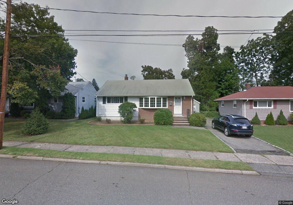
81 Evans Rd Bloomfield, NJ 07003
Estimated Value: $548,630 - $646,000
Studio
--
Bath
912
Sq Ft
$660/Sq Ft
Est. Value
About This Home
This home is located at 81 Evans Rd, Bloomfield, NJ 07003 and is currently estimated at $602,158, approximately $660 per square foot. 81 Evans Rd is a home located in Essex County with nearby schools including Oak View School, Bloomfield Middle School, and Bloomfield High School.
Ownership History
Date
Name
Owned For
Owner Type
Purchase Details
Closed on
Oct 19, 2017
Sold by
Aung Tin K and Thwinn Saw S
Bought by
Paing Soe and Tint Saw Y
Current Estimated Value
Purchase Details
Closed on
Jun 27, 2011
Sold by
West Rodney and West Tamara N
Bought by
Aung Tin Ko and Thwinn Saw Sanda
Purchase Details
Closed on
Aug 4, 2009
Sold by
Majeski E Louise and Smith Patricia
Bought by
West Rodney
Home Financials for this Owner
Home Financials are based on the most recent Mortgage that was taken out on this home.
Original Mortgage
$299,475
Interest Rate
5.19%
Mortgage Type
FHA
Create a Home Valuation Report for This Property
The Home Valuation Report is an in-depth analysis detailing your home's value as well as a comparison with similar homes in the area
Home Values in the Area
Average Home Value in this Area
Purchase History
| Date | Buyer | Sale Price | Title Company |
|---|---|---|---|
| Paing Soe | -- | -- | |
| Aung Tin Ko | $225,000 | Chicago Title Insurance Co | |
| West Rodney | $305,000 | None Available |
Source: Public Records
Mortgage History
| Date | Status | Borrower | Loan Amount |
|---|---|---|---|
| Previous Owner | West Rodney | $299,475 |
Source: Public Records
Tax History
| Year | Tax Paid | Tax Assessment Tax Assessment Total Assessment is a certain percentage of the fair market value that is determined by local assessors to be the total taxable value of land and additions on the property. | Land | Improvement |
|---|---|---|---|---|
| 2025 | $10,974 | $335,800 | $195,000 | $140,800 |
| 2024 | $10,974 | $335,800 | $195,000 | $140,800 |
| 2022 | $10,752 | $335,800 | $195,000 | $140,800 |
| 2021 | $10,554 | $335,800 | $195,000 | $140,800 |
| 2020 | $10,393 | $335,800 | $195,000 | $140,800 |
| 2019 | $10,980 | $275,800 | $183,000 | $92,800 |
| 2018 | $10,933 | $275,800 | $183,000 | $92,800 |
| 2017 | $10,685 | $275,800 | $183,000 | $92,800 |
| 2016 | $10,565 | $275,800 | $183,000 | $92,800 |
| 2015 | $10,469 | $275,800 | $183,000 | $92,800 |
| 2014 | $10,277 | $275,800 | $183,000 | $92,800 |
Source: Public Records
Map
Nearby Homes
- 147 Knollwood Terrace
- 96 Orchard Dr
- 330 W Passaic Ave
- 355 W Passaic Ave
- 45 Marlboro Rd
- 23 Sussex Rd
- 198 W Passaic Ave
- 7 Chaplin Ct
- 101 Bryant Ave
- 65 Ernst Ave
- 15 Peru Rd
- 160 Alexander Ave
- 585 Mount Prospect Ave
- 1 Rutan Place
- 64 Surrey Ln
- 37 Chanda Ct
- 37 Chanda Ct Unit D037
- 35 Chanda Ct Unit D035
- 35 Chanda Ct
- 18 Roy Ct
- 77 Evans Rd
- 85 Evans Rd
- 119 Knollwood Terrace
- 123 Knollwood Terrace
- 73 Evans Rd
- 115 Knollwood Terrace
- 80 Evans Rd
- 55 Craig Place
- 127 Knollwood Terrace
- 93 Evans Rd
- 111 Knollwood Terrace
- 69 Evans Rd
- 51 Craig Place
- 76 Evans Rd
- 107 Knollwood Terrace
- 124 Knollwood Terrace
- 72 Evans Rd
- 120 Knollwood Terrace
- 116 Knollwood Terrace
- 97 Evans Rd
Your Personal Tour Guide
Ask me questions while you tour the home.