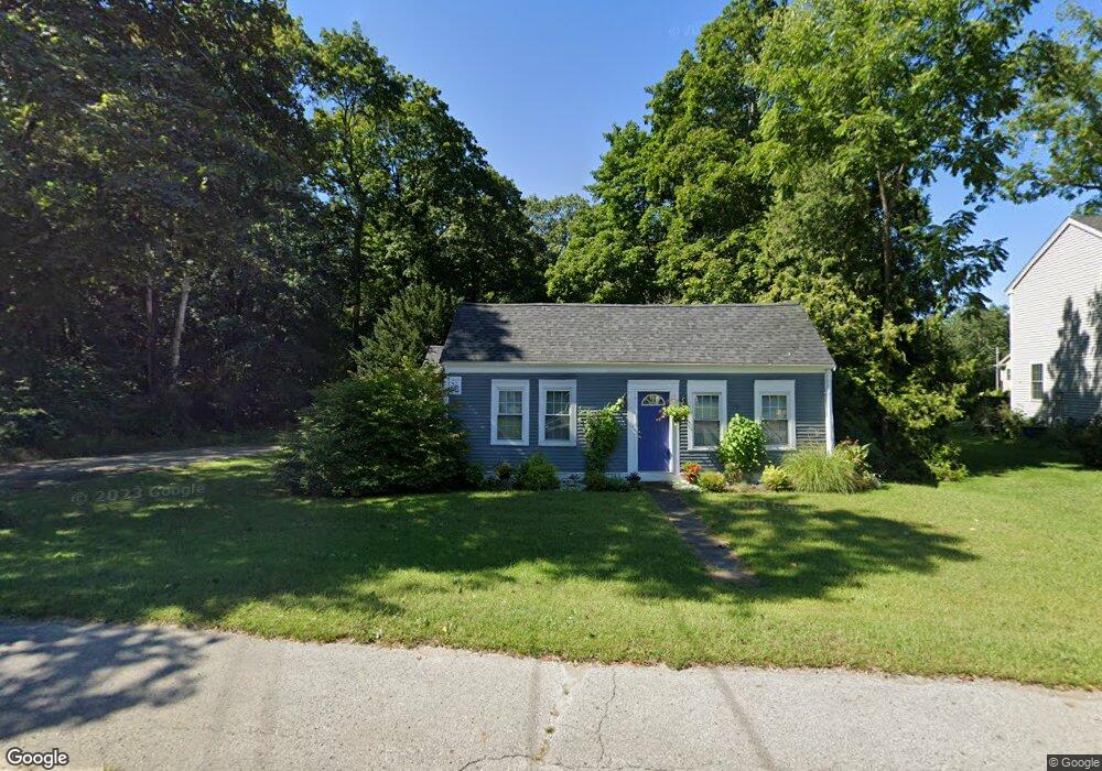
81 Franklin St Wrentham, MA 02093
Estimated Value: $515,000 - $615,000
3
Beds
1
Bath
970
Sq Ft
$571/Sq Ft
Est. Value
About This Home
This home is located at 81 Franklin St, Wrentham, MA 02093 and is currently estimated at $554,291, approximately $571 per square foot. 81 Franklin St is a home located in Norfolk County with nearby schools including Delaney Elementary School and Charles E Roderick.
Ownership History
Date
Name
Owned For
Owner Type
Purchase Details
Closed on
Apr 25, 2007
Sold by
Callanan Marylyn A and Callanan Gary E
Bought by
Callanan Marylyn A
Current Estimated Value
Purchase Details
Closed on
Mar 28, 1995
Sold by
Landry Richard J and Landry Constance D
Bought by
Mucciarone Marylyn A
Home Financials for this Owner
Home Financials are based on the most recent Mortgage that was taken out on this home.
Original Mortgage
$91,000
Interest Rate
8.78%
Mortgage Type
Purchase Money Mortgage
Purchase Details
Closed on
Nov 30, 1990
Sold by
Morris Sandra W
Bought by
Landry Richard J
Create a Home Valuation Report for This Property
The Home Valuation Report is an in-depth analysis detailing your home's value as well as a comparison with similar homes in the area
Home Values in the Area
Average Home Value in this Area
Purchase History
| Date | Buyer | Sale Price | Title Company |
|---|---|---|---|
| Callanan Marylyn A | -- | -- | |
| Mucciarone Marylyn A | $103,500 | -- | |
| Landry Richard J | $95,000 | -- |
Source: Public Records
Mortgage History
| Date | Status | Borrower | Loan Amount |
|---|---|---|---|
| Open | Landry Richard J | $125,000 | |
| Previous Owner | Landry Richard J | $90,500 | |
| Previous Owner | Landry Richard J | $91,000 |
Source: Public Records
Tax History Compared to Growth
Tax History
| Year | Tax Paid | Tax Assessment Tax Assessment Total Assessment is a certain percentage of the fair market value that is determined by local assessors to be the total taxable value of land and additions on the property. | Land | Improvement |
|---|---|---|---|---|
| 2025 | $5,300 | $457,300 | $280,300 | $177,000 |
| 2024 | $5,064 | $422,000 | $280,300 | $141,700 |
| 2023 | $4,695 | $372,000 | $245,500 | $126,500 |
| 2022 | $4,849 | $354,700 | $250,700 | $104,000 |
| 2021 | $4,581 | $325,600 | $223,100 | $102,500 |
| 2020 | $3,856 | $270,600 | $170,300 | $100,300 |
| 2019 | $3,663 | $259,400 | $162,200 | $97,200 |
| 2018 | $3,516 | $246,900 | $162,400 | $84,500 |
| 2017 | $3,353 | $235,300 | $159,300 | $76,000 |
| 2016 | $3,223 | $225,700 | $154,700 | $71,000 |
| 2015 | $3,254 | $217,200 | $148,700 | $68,500 |
| 2014 | $3,201 | $209,100 | $143,000 | $66,100 |
Source: Public Records
Map
Nearby Homes
- 10 Nature View Dr
- 15 Nature View Dr
- 270 Dedham St
- 1 Lorraine Metcalf Dr
- 131 Creek St Unit 7
- 570 Franklin St
- 11 Earle Stewart Ln
- 362 East St
- Lot 3 - 14 Earle Stewart Ln
- Lot 1 - Blueberry 2 Car Plan at King Philip Estates
- Lot 8 - Blueberry 2 Car Plan at King Philip Estates
- Lot 6 - Blueberry 3 Car Plan at King Philip Estates
- Lot 2 - Camden 2 Car Plan at King Philip Estates
- Lot 7 - Cedar Plan at King Philip Estates
- Lot 4 - Hemingway 2 Car Plan at King Philip Estates
- Lot 3 - Blueberry 2 Car Plan at King Philip Estates
- 319 Taunton St
- 246 Forest Grove Ave
- 50 Reed Fulton Ave Unit Lot 61
- 3 Oak Rd