81 Freedom Ln Unit 81 Bensalem, PA 19020
Estimated Value: $396,564 - $404,000
2
Beds
3
Baths
1,265
Sq Ft
$317/Sq Ft
Est. Value
About This Home
This home is located at 81 Freedom Ln Unit 81, Bensalem, PA 19020 and is currently estimated at $401,188, approximately $317 per square foot. 81 Freedom Ln Unit 81 is a home located in Bucks County with nearby schools including Valley Elementary School, St. Ephrem School, and Bensalem Baptist School.
Ownership History
Date
Name
Owned For
Owner Type
Purchase Details
Closed on
Aug 24, 2004
Sold by
The Villas At Regents Glen Lp
Bought by
Acquaviva Michael F and Acquaviva Marianne C
Current Estimated Value
Home Financials for this Owner
Home Financials are based on the most recent Mortgage that was taken out on this home.
Original Mortgage
$110,000
Outstanding Balance
$54,620
Interest Rate
6.02%
Mortgage Type
Purchase Money Mortgage
Estimated Equity
$346,568
Create a Home Valuation Report for This Property
The Home Valuation Report is an in-depth analysis detailing your home's value as well as a comparison with similar homes in the area
Home Values in the Area
Average Home Value in this Area
Purchase History
| Date | Buyer | Sale Price | Title Company |
|---|---|---|---|
| Acquaviva Michael F | $222,980 | -- |
Source: Public Records
Mortgage History
| Date | Status | Borrower | Loan Amount |
|---|---|---|---|
| Open | Acquaviva Michael F | $110,000 |
Source: Public Records
Tax History Compared to Growth
Tax History
| Year | Tax Paid | Tax Assessment Tax Assessment Total Assessment is a certain percentage of the fair market value that is determined by local assessors to be the total taxable value of land and additions on the property. | Land | Improvement |
|---|---|---|---|---|
| 2025 | $5,501 | $25,200 | $2,360 | $22,840 |
| 2024 | $5,501 | $25,200 | $2,360 | $22,840 |
| 2023 | $5,346 | $25,200 | $2,360 | $22,840 |
| 2022 | $5,315 | $25,200 | $2,360 | $22,840 |
| 2021 | $5,315 | $25,200 | $2,360 | $22,840 |
| 2020 | $5,261 | $25,200 | $2,360 | $22,840 |
| 2019 | $5,144 | $25,200 | $2,360 | $22,840 |
| 2018 | $5,025 | $25,200 | $2,360 | $22,840 |
| 2017 | $4,993 | $25,200 | $2,360 | $22,840 |
| 2016 | $4,993 | $25,200 | $2,360 | $22,840 |
| 2015 | -- | $25,200 | $2,360 | $22,840 |
| 2014 | -- | $25,200 | $2,360 | $22,840 |
Source: Public Records
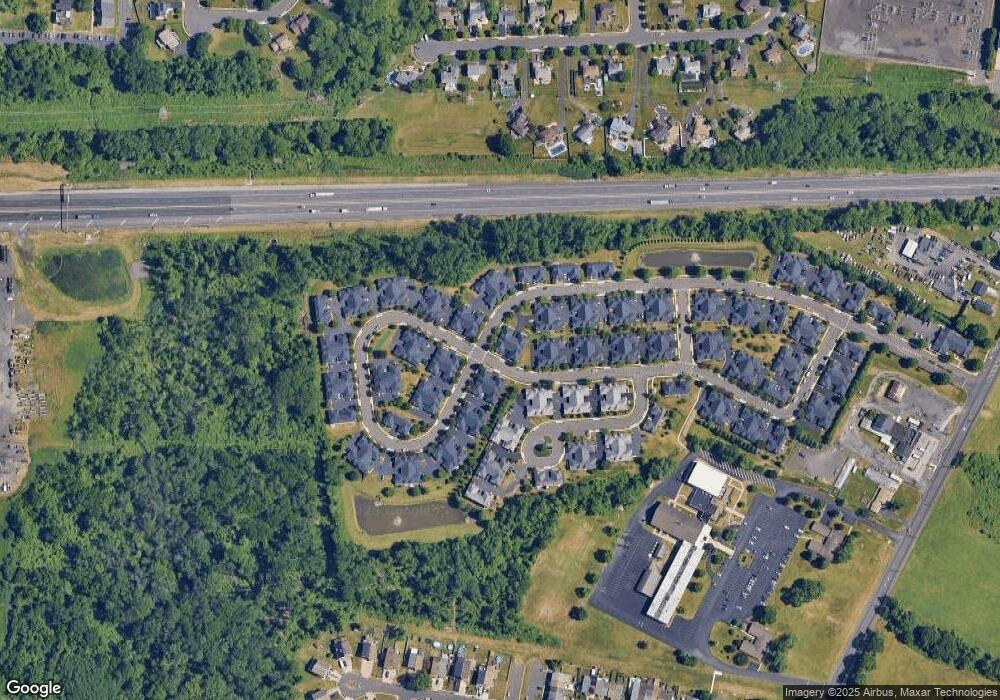
Map
Nearby Homes
- 66 Freedom Ln Unit 66
- 120 Liberty Dr Unit 120
- 5111 Euston Ct
- 5057 Sayer Ct
- 2493 Barnsleigh Dr
- 1852 Gibson Rd Unit 58
- 1734 Gibson Rd Unit 1
- 4122 Mechanicsville Rd
- 223 Saddlebrook Dr
- 225 Saddlebrook Dr
- 1790 Gibson Rd Unit 69
- 4525 Winding Brook Dr Unit 4525
- Lot 4 Edward Ct
- 1446 Gibson Rd Unit D50
- 1446 Gibson Rd Unit B4
- 1446 Gibson Rd
- Lot 3 Edward Ct
- Lot 2 Edward Ct
- Lot 5 Edward Ct
- 4902 Oxford Ct
- 82 Liberty Dr Unit 82
- 79 Liberty Dr Unit 79
- 110 Liberty Dr Unit 110
- 156 Freedom Ln Unit 156
- 78 Freedom Ln Unit 78
- 109 Liberty Dr Unit 109
- 84 Liberty Dr Unit 84
- 155 Freedom Ln Unit 155
- 108 Liberty Dr Unit 108
- 77 Freedom Ln Unit 77
- 111 Liberty Dr Unit 111
- 157 Liberty Dr Unit 157
- 154 Liberty Dr
- 83 Liberty Dr Unit 83
- 153 Liberty Dr Unit 153
- 186 Harmony Ct Unit 186
- 75 Freedom Ln Unit 75
- 105 Liberty Dr Unit 105
- 85 Liberty Dr Unit 85
- 160 Liberty Dr Unit 160