81 Haney Rd Dahlonega, GA 30533
Estimated Value: $257,635 - $362,000
--
Bed
--
Bath
1,363
Sq Ft
$233/Sq Ft
Est. Value
About This Home
This home is located at 81 Haney Rd, Dahlonega, GA 30533 and is currently estimated at $317,409, approximately $232 per square foot. 81 Haney Rd is a home with nearby schools including Clay County Middle School and Lumpkin County High School.
Ownership History
Date
Name
Owned For
Owner Type
Purchase Details
Closed on
Jan 7, 2005
Sold by
North Ga College & State U
Bought by
Board Of Regents Of The Univer
Current Estimated Value
Purchase Details
Closed on
Jul 29, 2004
Sold by
Stafford Mike L
Bought by
North Georgia College & State University
Purchase Details
Closed on
Nov 27, 1991
Sold by
Federal Home Loan
Bought by
Stafford Mike L
Purchase Details
Closed on
Mar 12, 1991
Sold by
Fidelity Federal Sav
Bought by
Federal Home Loan
Purchase Details
Closed on
Jan 2, 1991
Sold by
Maske Kenneth
Bought by
Fidelity Federal Sav
Purchase Details
Closed on
Oct 1, 1982
Sold by
Outz Tim
Bought by
Maske Kenneth
Purchase Details
Closed on
Apr 1, 1981
Bought by
Outz Tim
Create a Home Valuation Report for This Property
The Home Valuation Report is an in-depth analysis detailing your home's value as well as a comparison with similar homes in the area
Home Values in the Area
Average Home Value in this Area
Purchase History
| Date | Buyer | Sale Price | Title Company |
|---|---|---|---|
| Board Of Regents Of The Univer | $117,367 | -- | |
| North Georgia College & State University | $140,000 | -- | |
| Stafford Mike L | $63,000 | -- | |
| Federal Home Loan | -- | -- | |
| Fidelity Federal Sav | -- | -- | |
| Maske Kenneth | -- | -- | |
| Outz Tim | -- | -- |
Source: Public Records
Tax History Compared to Growth
Tax History
| Year | Tax Paid | Tax Assessment Tax Assessment Total Assessment is a certain percentage of the fair market value that is determined by local assessors to be the total taxable value of land and additions on the property. | Land | Improvement |
|---|---|---|---|---|
| 2024 | -- | $63,967 | $17,403 | $46,564 |
| 2023 | $0 | $59,417 | $15,821 | $43,596 |
| 2022 | $1,661 | $54,383 | $13,187 | $41,196 |
| 2021 | $1,743 | $47,876 | $13,187 | $34,689 |
| 2020 | $1,690 | $46,431 | $12,637 | $33,794 |
| 2019 | $1,690 | $46,431 | $12,637 | $33,794 |
| 2018 | $1,546 | $42,480 | $12,637 | $29,843 |
| 2017 | $0 | $42,546 | $12,637 | $29,909 |
| 2016 | -- | $38,876 | $12,637 | $26,239 |
| 2015 | -- | $38,876 | $12,637 | $26,239 |
| 2014 | -- | $39,711 | $12,637 | $27,074 |
| 2013 | -- | $40,547 | $12,636 | $27,910 |
Source: Public Records
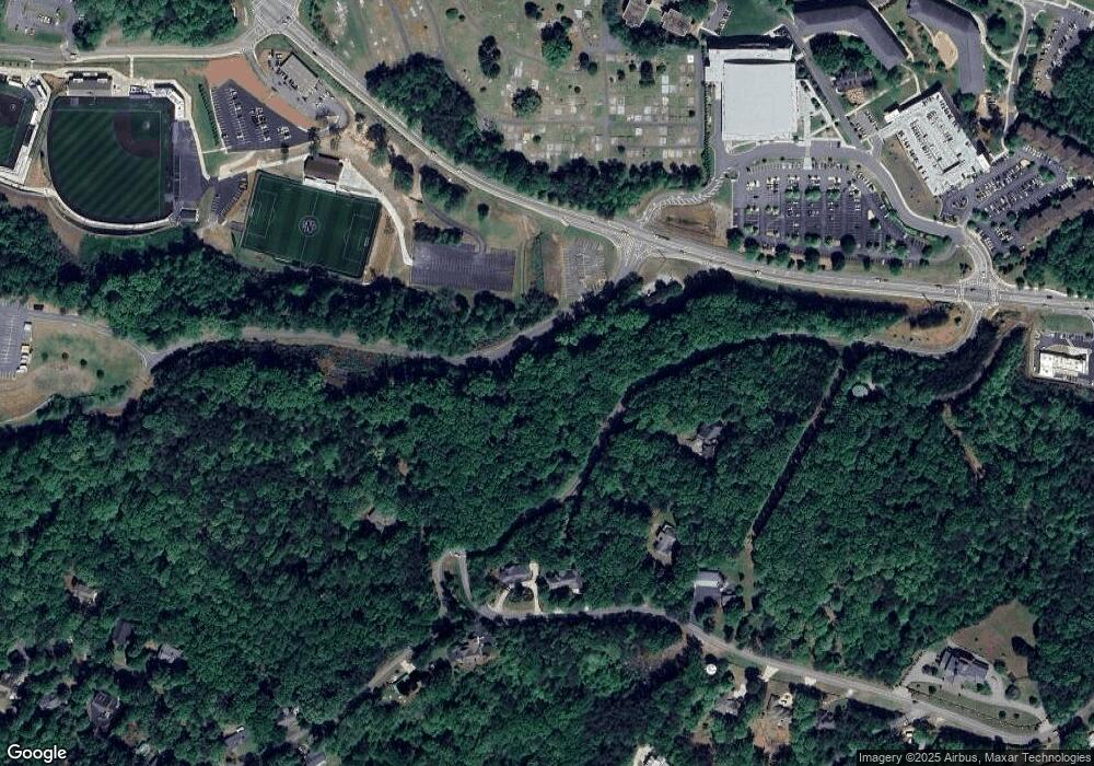
Map
Nearby Homes
- 0 Crown Mountain Unit 7682225
- 0 Crown Mountain Unit 10644759
- 0 Calhoun Rd Unit 7643314
- 0 Calhoun Rd Unit 10598012
- 00 Calhoun Rd
- 0 Alicia Ln
- LOT 13 Crown Mountain Way
- Lot 28 Crown Mountain Way
- Lot 30 Crown Mountain Way
- Lot 20 Crown Mountain Way
- 0 Crown Mountain Way Unit 7666031
- 168 W Main St
- 735 Calhoun Rd
- 99 Madeline Anthony Rd
- 99 Madeline Anthony Road Lots 44 and 45
- 1392 S Chestatee St
- 0 Highway 9 S Unit 10487179
- 0 Highway 9 S Unit 7548614
- 315 Church St
- 0 S Chestatee St Unit 10619536
- 43 Haney Rd
- 239 Calhoun Rd
- 11 Crown Mountain Dr
- 0 (LOT 21) Calhoun Rd
- 129 Crown Mountain Dr
- 73 Crown Mountain Dr
- 83 Crown Mountain Dr
- 4 Crown Mountain
- 364 Calhoun Rd
- 0 Crown Mountain #C Way Unit LOT C 10288350
- 0 Crown Mountain #C Way
- 3 Crown Mountain Dr
- 159 Crown Mountain Dr
- 7 Crown Mountain Dr
- 1 Crown Mountain Dr
- 48 Crown Mountain Dr
- 00 Crown Mountain Dr
- 0 Crown Mountain Unit 10572497
- 0 Crown Mountain Unit 10509297
- 0 Crown Mountain Unit LOT 30 10447107