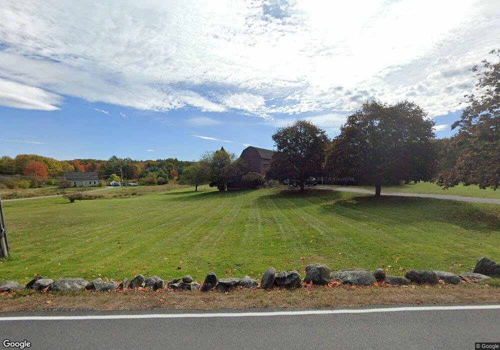
81 Hearn Rd Saco, ME 04072
North Saco NeighborhoodEstimated Value: $672,000 - $1,128,000
3
Beds
4
Baths
4,599
Sq Ft
$206/Sq Ft
Est. Value
About This Home
This home is located at 81 Hearn Rd, Saco, ME 04072 and is currently estimated at $948,588, approximately $206 per square foot. 81 Hearn Rd is a home located in York County with nearby schools including C K Burns School and Saco Middle School.
Ownership History
Date
Name
Owned For
Owner Type
Purchase Details
Closed on
May 21, 2021
Sold by
Skea William M
Bought by
Skea William M and Skea Meghan E
Current Estimated Value
Home Financials for this Owner
Home Financials are based on the most recent Mortgage that was taken out on this home.
Original Mortgage
$430,000
Outstanding Balance
$389,078
Interest Rate
3%
Mortgage Type
Purchase Money Mortgage
Estimated Equity
$559,510
Create a Home Valuation Report for This Property
The Home Valuation Report is an in-depth analysis detailing your home's value as well as a comparison with similar homes in the area
Home Values in the Area
Average Home Value in this Area
Purchase History
| Date | Buyer | Sale Price | Title Company |
|---|---|---|---|
| Skea William M | -- | None Available |
Source: Public Records
Mortgage History
| Date | Status | Borrower | Loan Amount |
|---|---|---|---|
| Open | Skea William M | $430,000 |
Source: Public Records
Tax History
| Year | Tax Paid | Tax Assessment Tax Assessment Total Assessment is a certain percentage of the fair market value that is determined by local assessors to be the total taxable value of land and additions on the property. | Land | Improvement |
|---|---|---|---|---|
| 2024 | $13,772 | $980,200 | $197,600 | $782,600 |
| 2023 | $15,687 | $1,063,500 | $197,600 | $865,900 |
| 2022 | $13,905 | $758,600 | $151,000 | $607,600 |
| 2021 | $13,533 | $716,800 | $138,000 | $578,800 |
| 2020 | $12,646 | $642,900 | $121,500 | $521,400 |
| 2019 | $12,459 | $642,900 | $121,500 | $521,400 |
| 2018 | $10,869 | $632,000 | $110,600 | $521,400 |
| 2017 | $11,709 | $624,200 | $102,800 | $521,400 |
| 2016 | $11,161 | $574,700 | $85,800 | $488,900 |
| 2015 | $10,909 | $567,600 | $84,500 | $483,100 |
| 2014 | $10,569 | $567,600 | $84,500 | $483,100 |
| 2013 | $10,546 | $567,600 | $84,500 | $483,100 |
Source: Public Records
Map
Nearby Homes
- 1 Shamrock Dr
- 75 Ash Swamp Rd
- 4 Blueberry Ave
- 159 Stewart Dr
- 90 Broadturn Rd Unit 9
- 155 Stewart Dr
- 153 Stewart Dr
- 149 Stewart Dr
- 91 B Broadturn Rd
- 29 Mccann Way Unit 29
- 994 Portland Rd Unit 14
- 6 Castle Terrace
- 10 Lodge Dr
- 79 Creeks Edge Dr
- 57 Creeks Edge Dr
- 31 Old Blue Point Rd
- 626 Us Route 1
- 19 Pheasant Rd
- 22 A Meserve Cir
- Lot 1 & 2 Memory Ln
Your Personal Tour Guide
Ask me questions while you tour the home.