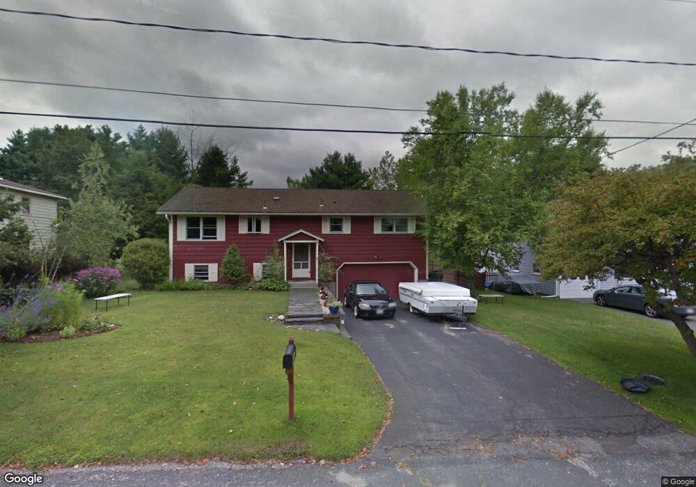
81 Joseph Dr Pittsfield, MA 01201
Estimated Value: $332,000 - $356,000
3
Beds
2
Baths
1,248
Sq Ft
$276/Sq Ft
Est. Value
About This Home
This home is located at 81 Joseph Dr, Pittsfield, MA 01201 and is currently estimated at $344,365, approximately $275 per square foot. 81 Joseph Dr is a home located in Berkshire County with nearby schools including Egremont Elementary School, Theodore Herberg Middle School, and Pittsfield High School.
Ownership History
Date
Name
Owned For
Owner Type
Purchase Details
Closed on
Aug 26, 2016
Sold by
Bissell Richard A and Bissell Stacia G
Bought by
Bissell Stacia G
Current Estimated Value
Purchase Details
Closed on
Mar 12, 1996
Sold by
Department Of Housing & Urban Dev
Bought by
Bissell George H and Bissell Nancy S
Purchase Details
Closed on
Jun 7, 1995
Sold by
Talmadge Corley
Bought by
Department Of Housing & Urban Dev
Purchase Details
Closed on
Dec 28, 1990
Sold by
Bruzzi James F
Bought by
Corley Talmadge
Home Financials for this Owner
Home Financials are based on the most recent Mortgage that was taken out on this home.
Original Mortgage
$101,308
Interest Rate
9.96%
Mortgage Type
Purchase Money Mortgage
Create a Home Valuation Report for This Property
The Home Valuation Report is an in-depth analysis detailing your home's value as well as a comparison with similar homes in the area
Home Values in the Area
Average Home Value in this Area
Purchase History
| Date | Buyer | Sale Price | Title Company |
|---|---|---|---|
| Bissell Stacia G | -- | -- | |
| Bissell Stacia G | -- | -- | |
| Bissell Stacia G | -- | -- | |
| Bissell George H | $75,000 | -- | |
| Bissell George H | $75,000 | -- | |
| Department Of Housing & Urban Dev | $85,000 | -- | |
| Department Of Housing & Urban Dev | $85,000 | -- | |
| Corley Talmadge | $100,100 | -- | |
| Corley Talmadge | $100,100 | -- |
Source: Public Records
Mortgage History
| Date | Status | Borrower | Loan Amount |
|---|---|---|---|
| Previous Owner | Corley Talmadge | $101,308 |
Source: Public Records
Tax History Compared to Growth
Tax History
| Year | Tax Paid | Tax Assessment Tax Assessment Total Assessment is a certain percentage of the fair market value that is determined by local assessors to be the total taxable value of land and additions on the property. | Land | Improvement |
|---|---|---|---|---|
| 2025 | $4,727 | $263,500 | $90,600 | $172,900 |
| 2024 | $4,686 | $254,000 | $90,600 | $163,400 |
| 2023 | $4,384 | $239,300 | $90,600 | $148,700 |
| 2022 | $4,081 | $219,900 | $90,600 | $129,300 |
| 2021 | $4,043 | $210,000 | $90,600 | $119,400 |
| 2020 | $3,796 | $192,600 | $75,600 | $117,000 |
| 2019 | $3,573 | $184,000 | $70,600 | $113,400 |
| 2018 | $3,530 | $176,400 | $65,600 | $110,800 |
| 2017 | $3,184 | $162,200 | $55,600 | $106,600 |
| 2016 | $3,090 | $164,700 | $55,600 | $109,100 |
| 2015 | $2,974 | $164,700 | $55,600 | $109,100 |
Source: Public Records
Map
Nearby Homes
- 57 Joseph Dr
- 36 Joseph Dr
- 75 Anita Dr
- 51 Anita Dr
- 411 E New Lenox Rd
- 889 Holmes Rd
- 851 E New Lenox Rd
- 55 Revilla Terrace
- 49 Revilla Terrace
- 35 Chapman Rd
- 20 Marshall Ave
- 25 E New Lenox Rd
- 64 & 68 Brookside Dr
- 1070 Holmes Rd
- 76 Alfred Dr
- 106 Sampson Pkwy
- 50 Bellmore Dr
- 59 Bellmore Dr
- 40 Sampson Pkwy
- 11 Sampson Pkwy