81 Keystone Ct Basking Ridge, NJ 07920
Bernards AreaEstimated Value: $1,958,000 - $2,463,651
About This Home
This home is located at 81 Keystone Ct, Basking Ridge, NJ 07920 and is currently estimated at $2,157,163, approximately $377 per square foot. 81 Keystone Ct is a home with nearby schools including Cedar Hill Elementary School, William Annin Middle School, and Ridge High School.
Ownership History
We collect this data history from publicly available records. To have your information removed, we recommend requesting removal directly through your county’s website.
Purchase Details
Purchase Details
Home Financials for this Owner
Home Financials are based on the most recent Mortgage that was taken out on this home.Home Values in the Area
Average Home Value in this Area
Purchase History
We collect this data history from publicly available records. To have your information removed, we recommend requesting removal directly through your county’s website.
| Date | Buyer | Sale Price | Title Company |
|---|---|---|---|
| -- | None Listed On Document | ||
| $17,000,000 | Old Republic Natl Ins Co |
Mortgage History
We collect this data history from publicly available records. To have your information removed, we recommend requesting removal directly through your county’s website.
| Date | Status | Borrower | Loan Amount |
|---|---|---|---|
| Previous Owner | $1,360,000 |
Tax History
We collect this data history from publicly available records. To have your information removed, we recommend requesting removal directly through your county’s website.
| Year | Tax Paid | Tax Assessment Tax Assessment Total Assessment is a certain percentage of the fair market value that is determined by local assessors to be the total taxable value of land and additions on the property. | Land | Improvement |
|---|---|---|---|---|
| 2026 | $33,313 | $1,940,600 | $456,200 | $1,484,400 |
| 2025 | $32,518 | $1,973,500 | $456,200 | $1,517,300 |
| 2024 | $32,518 | $1,827,900 | $419,400 | $1,408,500 |
| 2023 | $32,139 | $1,704,100 | $419,400 | $1,284,700 |
| 2022 | $31,518 | $1,567,300 | $419,400 | $1,147,900 |
| 2021 | $31,829 | $1,508,500 | $419,400 | $1,089,100 |
| 2020 | $30,981 | $1,479,500 | $439,100 | $1,040,400 |
| 2019 | $31,840 | $1,565,400 | $459,700 | $1,105,700 |
| 2018 | $30,859 | $1,539,100 | $436,400 | $1,102,700 |
| 2017 | $9,856 | $495,500 | $395,500 | $100,000 |
| 2016 | $10,555 | $541,000 | $391,000 | $150,000 |
| 2015 | $7,145 | $372,900 | $372,900 | $0 |
| 2014 | $7,129 | $368,600 | $368,600 | $0 |
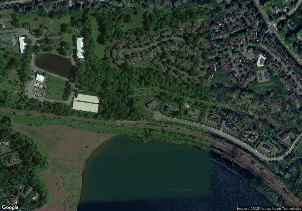
Map
- 20 Heather Ln
- 34 Cross Rd
- 16 Lenape Ct
- 374 S Maple Ave
- 22 High Hill Ct
- 57 Linden Dr
- 77 Riverside Dr
- 16 Knollcroft Rd
- 1822 Long Hill Rd
- 1801 Long Hill Rd
- 120 Woods End Dr
- 3120 Valley Rd
- 44 Manor Dr
- 167 Division Ave
- 10 Cedar St
- 3225 Valley Rd
- 50 Elizabeth St
- 11 Cedar St
- 80 Juniper Way
- 125 Smithfield Ct
- 67 Keystone Ct
- 42 Dexter Dr N Unit 88
- 38 Dexter Dr N
- 40 Dexter Dr N
- 36 Dexter Dr N
- 28 Bradford Ln Unit 84
- 44 Dexter Dr N
- 59 Keystone Ct
- 24 Bradford Ln
- 46 Dexter Dr N
- 22 Bradford Ln Unit 84
- 19 Bradford Ln Unit 79
- 30 Dexter Dr N
- 32 Dexter Dr N
- 28 Dexter Dr N
- 34 Dexter Dr N Unit 78
- 6 Bradford Ln
- 10 Bradford Ln
- 8 Bradford Ln
- 12 Bradford Ln
Ask me questions while you tour the home.