81 Lake Point Dr Dahlonega, GA 30533
Estimated Value: $394,018 - $547,000
--
Bed
3
Baths
1,930
Sq Ft
$244/Sq Ft
Est. Value
About This Home
This home is located at 81 Lake Point Dr, Dahlonega, GA 30533 and is currently estimated at $471,005, approximately $244 per square foot. 81 Lake Point Dr is a home located in Lumpkin County with nearby schools including Clay County Middle School and Lumpkin County High School.
Ownership History
Date
Name
Owned For
Owner Type
Purchase Details
Closed on
Apr 9, 2002
Sold by
Avery Joseph F
Bought by
Youngblood Alan William and Cherry Ha
Current Estimated Value
Purchase Details
Closed on
Mar 5, 2002
Sold by
Avery Floyd Joe and Dianne Avery
Bought by
Irwin Mortgage
Purchase Details
Closed on
Apr 10, 2000
Sold by
Palmquist Wendy L
Bought by
Avery Joseph F
Purchase Details
Closed on
Jul 13, 1999
Sold by
Parrish Dorothy C
Bought by
Palmquist Wendy L
Purchase Details
Closed on
Nov 20, 1995
Sold by
Parrish Dorothy C
Bought by
Parrish Dorothy C
Purchase Details
Closed on
Jan 18, 1991
Sold by
Chestatee Group Ltd
Bought by
Parrish Dorothy C
Create a Home Valuation Report for This Property
The Home Valuation Report is an in-depth analysis detailing your home's value as well as a comparison with similar homes in the area
Home Values in the Area
Average Home Value in this Area
Purchase History
| Date | Buyer | Sale Price | Title Company |
|---|---|---|---|
| Youngblood Alan William | $199,600 | -- | |
| Robinson Ty | -- | -- | |
| Irwin Mortgage | -- | -- | |
| Federal National Mortgage Association | -- | -- | |
| Avery Joseph F | $32,500 | -- | |
| Palmquist Wendy L | $18,000 | -- | |
| Parrish Dorothy C | -- | -- | |
| Parrish Dorothy C | $15,000 | -- |
Source: Public Records
Tax History Compared to Growth
Tax History
| Year | Tax Paid | Tax Assessment Tax Assessment Total Assessment is a certain percentage of the fair market value that is determined by local assessors to be the total taxable value of land and additions on the property. | Land | Improvement |
|---|---|---|---|---|
| 2024 | $213 | $123,274 | $15,820 | $107,454 |
| 2023 | $283 | $116,921 | $15,820 | $101,101 |
| 2022 | $363 | $104,126 | $15,820 | $88,306 |
| 2021 | $212 | $89,153 | $15,820 | $73,333 |
| 2020 | $199 | $87,495 | $15,820 | $71,675 |
| 2019 | $205 | $87,495 | $15,820 | $71,675 |
| 2018 | $121 | $78,513 | $15,820 | $62,693 |
| 2017 | $108 | $76,912 | $15,820 | $61,092 |
| 2016 | $61 | $72,660 | $15,820 | $56,840 |
| 2015 | $1,898 | $72,660 | $15,820 | $56,840 |
| 2014 | $1,898 | $73,997 | $15,820 | $58,177 |
| 2013 | -- | $74,666 | $15,820 | $58,846 |
Source: Public Records
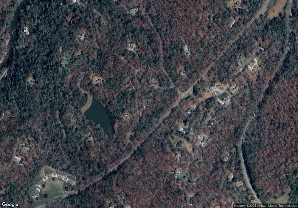
Map
Nearby Homes
- 380 Copper Mill Rd
- 202 Indian Trail
- 128 Young Deer Dr
- 0 Arborwood Dr Unit 10645890
- 87 Tolleffs Trail
- 83 Austin Ct
- 45 Chestatee River Ridge
- 6480 Highway 52 W
- 16 Welch Cir
- 86.99 Acres Mincie Mountain
- 496 Beaver Dam Rd
- 0 Bearden Rd Unit 10598024
- 0 Bearden Rd Unit 7642996
- 600 Chapman Ridge Ln
- 500 Chapman Ridge Ln
- 27.68 Chapman Ridge Ln
- 53 Lake Point Dr
- 56 Lake Point Dr
- 0 Lake Point Dr Unit 53 7400341
- 0 Lake Point Dr Unit 53 7526997
- 0 Lake Point Dr Unit 53 8077250
- 0 Lake Point Dr Unit 53 8079064
- 0 Lake Point Dr Unit 53 8117608
- 0 Lake Point Dr Unit 56 8166855
- 0 Lake Point Dr Unit 56 8166854
- 0 Lake Point Dr
- 0 Lake Point Dr Unit 10235617
- 0 Lake Point Dr Unit 10184423
- 0 Lake Point Dr Unit 7250946
- 0 Lake Point Dr Unit 8413326
- Lot 52 Lake Point Dr
- TBD Lake Point Dr
- 29 Timberline Trail
- 14 Lake Point Dr Unit 54
- 14 Lake Point Dr
- 58 Lake Point Dr