81 Lake St Wrentham, MA 02093
Estimated Value: $646,000 - $850,000
3
Beds
1
Bath
1,416
Sq Ft
$514/Sq Ft
Est. Value
About This Home
This home is located at 81 Lake St, Wrentham, MA 02093 and is currently estimated at $727,893, approximately $514 per square foot. 81 Lake St is a home located in Norfolk County with nearby schools including Delaney Elementary School and Charles E Roderick.
Ownership History
Date
Name
Owned For
Owner Type
Purchase Details
Closed on
Dec 8, 2020
Sold by
Shiebler Marilyn
Bought by
Shiebler Marilyn and Shiebler Anne E
Current Estimated Value
Purchase Details
Closed on
Feb 26, 2015
Sold by
Shiebler Marilyn and Shiebler Glenn
Bought by
Shiebler Marilyn
Purchase Details
Closed on
Aug 28, 1997
Sold by
Marshall Ex Colin S
Bought by
Shiebler Glenn R and Shiebler Marilyn S
Create a Home Valuation Report for This Property
The Home Valuation Report is an in-depth analysis detailing your home's value as well as a comparison with similar homes in the area
Home Values in the Area
Average Home Value in this Area
Purchase History
| Date | Buyer | Sale Price | Title Company |
|---|---|---|---|
| Shiebler Marilyn | -- | None Available | |
| Shiebler Marilyn | -- | -- | |
| Shiebler Glenn R | $165,000 | -- |
Source: Public Records
Mortgage History
| Date | Status | Borrower | Loan Amount |
|---|---|---|---|
| Previous Owner | Shiebler Glenn R | $60,000 | |
| Previous Owner | Shiebler Glenn R | $238,000 | |
| Previous Owner | Shiebler Glenn R | $58,500 |
Source: Public Records
Tax History Compared to Growth
Tax History
| Year | Tax Paid | Tax Assessment Tax Assessment Total Assessment is a certain percentage of the fair market value that is determined by local assessors to be the total taxable value of land and additions on the property. | Land | Improvement |
|---|---|---|---|---|
| 2025 | $7,725 | $666,500 | $511,700 | $154,800 |
| 2024 | $5,281 | $440,100 | $365,500 | $74,600 |
| 2023 | $4,968 | $393,700 | $332,200 | $61,500 |
| 2022 | $4,798 | $351,000 | $302,000 | $49,000 |
| 2021 | $4,891 | $347,600 | $302,000 | $45,600 |
| 2020 | $4,373 | $306,900 | $230,500 | $76,400 |
| 2019 | $4,117 | $291,600 | $215,200 | $76,400 |
| 2018 | $3,929 | $275,900 | $215,400 | $60,500 |
| 2017 | $3,842 | $269,600 | $211,300 | $58,300 |
| 2016 | $3,781 | $264,800 | $205,200 | $59,600 |
| 2015 | $3,769 | $251,600 | $197,200 | $54,400 |
| 2014 | $3,737 | $244,100 | $189,700 | $54,400 |
Source: Public Records
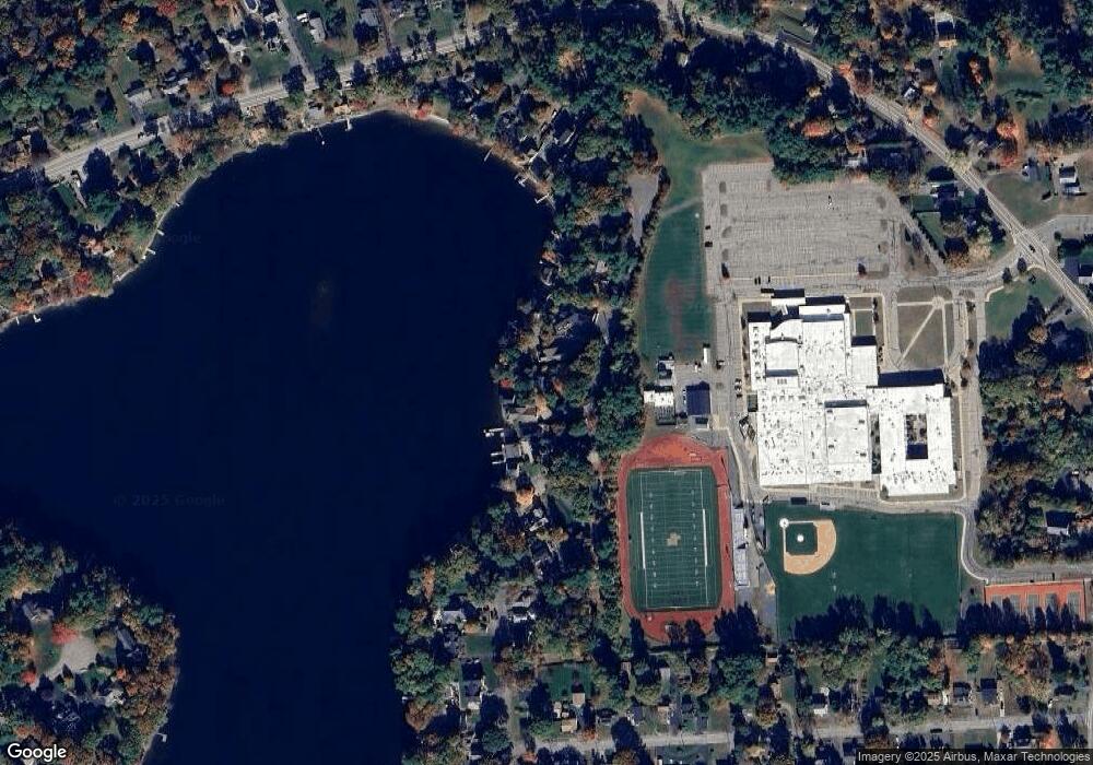
Map
Nearby Homes
- 10 Nature View Dr
- 15 Nature View Dr
- 570 Franklin St
- 131 Creek St Unit 7
- 270 Dedham St
- 1 Lorraine Metcalf Dr
- 11 Earle Stewart Ln
- 50 Reed Fulton Ave Unit Lot 61
- Lot 3 - 14 Earle Stewart Ln
- 246 Forest Grove Ave
- Lot 1 - Blueberry 2 Car Plan at King Philip Estates
- Lot 8 - Blueberry 2 Car Plan at King Philip Estates
- Lot 6 - Blueberry 3 Car Plan at King Philip Estates
- Lot 2 - Camden 2 Car Plan at King Philip Estates
- Lot 7 - Cedar Plan at King Philip Estates
- Lot 4 - Hemingway 2 Car Plan at King Philip Estates
- Lot 3 - Blueberry 2 Car Plan at King Philip Estates
- 45 Joshua Rd
- 362 East St
- 319 Taunton St