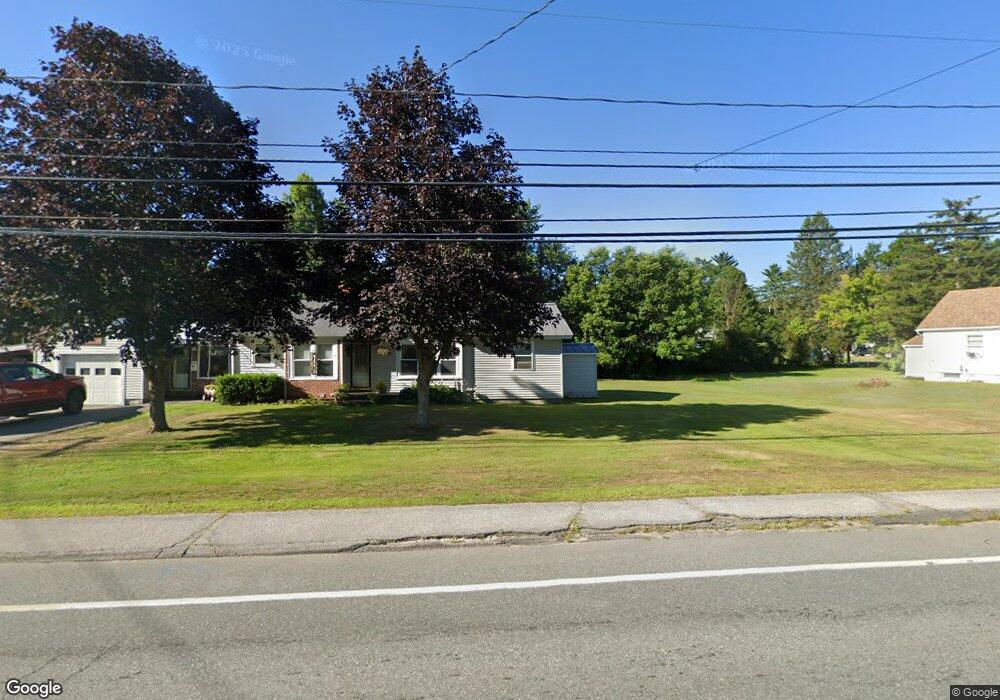
81 Lancaster Rd Gorham, NH 03581
Estimated Value: $229,000 - $259,599
About This Home
This home is located at 81 Lancaster Rd, Gorham, NH 03581 and is currently estimated at $249,400, approximately $212 per square foot. 81 Lancaster Rd is a home located in Coos County with nearby schools including Edward Fenn Elementary School, Gorham Middle School, and Gorham High School.
Ownership History
We collect this data history from publicly available records. To have your information removed, we recommend requesting removal directly through your county’s website.
Purchase Details
Purchase Details
Home Financials for this Owner
Home Financials are based on the most recent Mortgage that was taken out on this home.Home Values in the Area
Average Home Value in this Area
Purchase History
We collect this data history from publicly available records. To have your information removed, we recommend requesting removal directly through your county’s website.
| Date | Buyer | Sale Price | Title Company |
|---|---|---|---|
| $106,000 | -- | ||
| $106,000 | -- | ||
| $57,000 | -- | ||
| $57,000 | -- |
Mortgage History
We collect this data history from publicly available records. To have your information removed, we recommend requesting removal directly through your county’s website.
| Date | Status | Borrower | Loan Amount |
|---|---|---|---|
| Previous Owner | $59,000 | ||
| Closed | $0 |
Tax History
We collect this data history from publicly available records. To have your information removed, we recommend requesting removal directly through your county’s website.
| Year | Tax Paid | Tax Assessment Tax Assessment Total Assessment is a certain percentage of the fair market value that is determined by local assessors to be the total taxable value of land and additions on the property. | Land | Improvement |
|---|---|---|---|---|
| 2025 | $5,431 | $231,610 | $45,500 | $186,110 |
| 2024 | $5,064 | $179,000 | $24,500 | $154,500 |
| 2023 | $4,394 | $179,000 | $24,500 | $154,500 |
| 2022 | $4,341 | $179,000 | $24,500 | $154,500 |
| 2021 | $3,467 | $97,400 | $19,000 | $78,400 |
| 2020 | $3,102 | $97,400 | $19,000 | $78,400 |
| 2019 | $3,289 | $97,400 | $19,000 | $78,400 |
| 2018 | $3,125 | $85,600 | $19,000 | $66,600 |
| 2017 | $2,906 | $85,600 | $19,000 | $66,600 |
| 2014 | $2,792 | $91,000 | $28,400 | $62,600 |
| 2010 | $2,678 | $111,800 | $22,400 | $89,400 |
Map
- 64 Evans St
- 141 Lancaster Rd
- 141 Lancaster Rd Unit 28
- 24 Pine St
- 14 Broadway Ave
- 7 Dublin St
- 177 Main St
- 248 Gorham Hill Rd
- 20 Church St
- 280 Gorham Hill Rd
- 57 Jimtown Rd
- 19 Mechanic St
- 9 Candy Ln
- 101 Main St Unit A
- 73 Jimtown Rd
- 10-14 Exchange St
- 3 Mcfarland St
- 9 Mcfarland St
- 21 Promenade St
- 44 Alpine St
- 66 Evans St
- 66 Evans St Unit U19/6
- 84 and 82 Lancaster Rd
- 82 Lancaster Rd
- 85 Lancaster Rd
- 77 Lancaster Rd
- 80 Lancaster Rd
- 84 Lancaster Rd
- 65 Evans St
- 75 Lancaster Rd
- 87 Lancaster Rd
- 86 Lancaster Rd
- 76 Lancaster Rd
- 88 Lancaster Rd
- 71 Lancaster Rd
- 72 Evans St
- 89 Lancaster Rd
- 72 Lancaster Rd
- 69 Evans St
- 59 Evans St
Ask me questions while you tour the home.