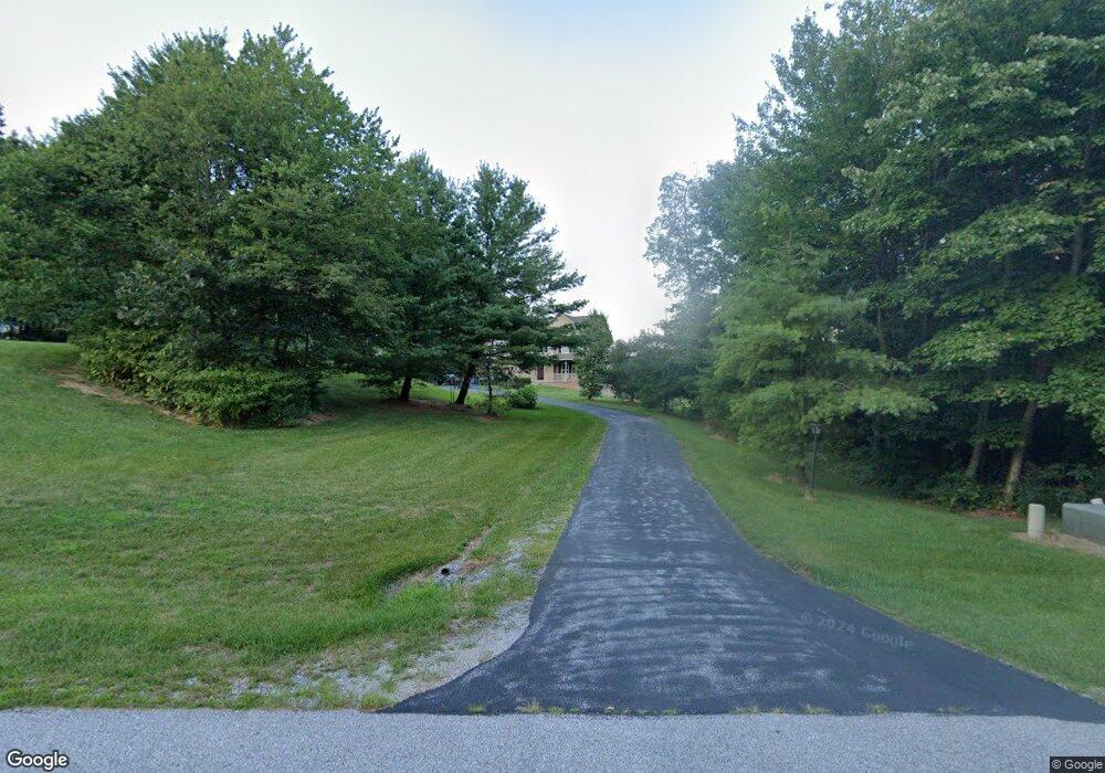
81 Lucas Dr Unit 43 Littlestown, PA 17340
Estimated Value: $528,000 - $721,000
4
Beds
3
Baths
2,644
Sq Ft
$229/Sq Ft
Est. Value
About This Home
This home is located at 81 Lucas Dr Unit 43, Littlestown, PA 17340 and is currently estimated at $604,412, approximately $228 per square foot. 81 Lucas Dr Unit 43 is a home located in Adams County with nearby schools including Rolling Acres El School, Maple Avenue Middle School, and Littlestown Senior High School.
Ownership History
Date
Name
Owned For
Owner Type
Purchase Details
Closed on
Mar 3, 2008
Sold by
Royal Bldg Inc
Bought by
Hanson Susan R
Current Estimated Value
Home Financials for this Owner
Home Financials are based on the most recent Mortgage that was taken out on this home.
Original Mortgage
$266,000
Outstanding Balance
$171,985
Interest Rate
5.75%
Mortgage Type
New Conventional
Estimated Equity
$432,427
Create a Home Valuation Report for This Property
The Home Valuation Report is an in-depth analysis detailing your home's value as well as a comparison with similar homes in the area
Home Values in the Area
Average Home Value in this Area
Purchase History
| Date | Buyer | Sale Price | Title Company |
|---|---|---|---|
| Hanson Susan R | $140,000 | -- |
Source: Public Records
Mortgage History
| Date | Status | Borrower | Loan Amount |
|---|---|---|---|
| Open | Hanson Susan R | $266,000 |
Source: Public Records
Tax History Compared to Growth
Tax History
| Year | Tax Paid | Tax Assessment Tax Assessment Total Assessment is a certain percentage of the fair market value that is determined by local assessors to be the total taxable value of land and additions on the property. | Land | Improvement |
|---|---|---|---|---|
| 2025 | $6,718 | $354,900 | $156,400 | $198,500 |
| 2024 | $6,457 | $354,900 | $156,400 | $198,500 |
| 2023 | $6,294 | $354,900 | $156,400 | $198,500 |
| 2022 | $6,248 | $354,900 | $156,400 | $198,500 |
| 2021 | $6,026 | $354,900 | $156,400 | $198,500 |
| 2020 | $5,939 | $354,900 | $156,400 | $198,500 |
| 2019 | $5,812 | $354,900 | $156,400 | $198,500 |
| 2018 | $5,639 | $354,900 | $156,400 | $198,500 |
| 2017 | $5,463 | $354,900 | $156,400 | $198,500 |
| 2016 | -- | $354,900 | $156,400 | $198,500 |
| 2015 | -- | $348,500 | $156,400 | $192,100 |
| 2014 | -- | $348,500 | $156,400 | $192,100 |
Source: Public Records
Map
Nearby Homes
- 9 Darlyn Dr
- 630 Mehring Rd Unit 4
- LOT 9 Mehring Rd
- 2100 Blacks School House Rd
- 28 Gettysburg Ct Unit 60
- 567 Lumber St
- 559 Lumber St
- 535 Lumber St
- 211 E King St
- 61 E King St
- 449 Glenwyn Dr
- 5 Manor Cir Unit 103
- 115 Charles St
- 117 Charles St
- 43 Ashfield Dr Unit 14
- 15 Yorktowne Ct Unit 97
- 41 Smith Cir
- 1175 Bollinger Rd
- 129 W King St
- 22 Rita Marie Ave
- 97 Lucas Dr Unit 42
- 109 Lucas Dr Unit 41
- 250 Bollinger Rd Unit 2
- 100 Lucas Dr Unit 28
- 38 Lucas Dr Unit 24
- 127 Lucas Dr Unit 40
- 127 Lucas Dr
- 64 Lucas Dr Unit 25
- 124 Lucas Dr Unit 29
- 46 Lucas Dr
- 44 Lucas Dr
- 19 Lucas Dr Unit 21
- 45 Logan Cir
- 145 Lucas Dr Unit 39
- 20 Lucas Dr Unit 23
- 82 Lucas Dr Unit 26
- 75 Logan Cir Unit 19
- 5 Lucas Dr Unit 20
- 51 Logan Cir
- 4 Lucas Dr Unit 22