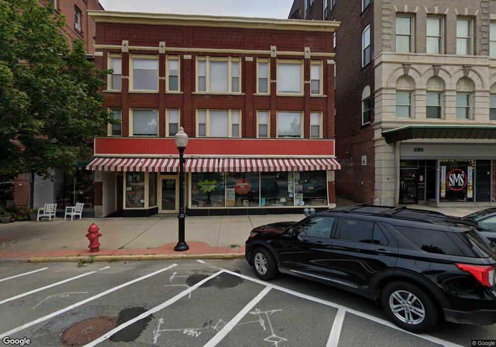
81 Main St 91 St North Adams, MA 01247
Estimated Value: $2,062,788
--
Bed
--
Bath
65,948
Sq Ft
$31/Sq Ft
Est. Value
About This Home
This home is located at 81 Main St 91 St, North Adams, MA 01247 and is currently estimated at $2,062,788, approximately $31 per square foot. 81 Main St 91 St is a home located in Berkshire County with nearby schools including Colegrove Park Elementary School and Drury High School.
Ownership History
Date
Name
Owned For
Owner Type
Purchase Details
Closed on
May 22, 2001
Sold by
Concourse Rt
Bought by
85 Main St Nt
Current Estimated Value
Home Financials for this Owner
Home Financials are based on the most recent Mortgage that was taken out on this home.
Original Mortgage
$975,000
Outstanding Balance
$364,063
Interest Rate
7.03%
Mortgage Type
Commercial
Estimated Equity
$1,698,725
Create a Home Valuation Report for This Property
The Home Valuation Report is an in-depth analysis detailing your home's value as well as a comparison with similar homes in the area
Home Values in the Area
Average Home Value in this Area
Purchase History
| Date | Buyer | Sale Price | Title Company |
|---|---|---|---|
| 85 Main St Nt | $1,300,000 | -- | |
| 85 Main St Nt | $1,300,000 | -- |
Source: Public Records
Mortgage History
| Date | Status | Borrower | Loan Amount |
|---|---|---|---|
| Open | 85 Main St Nt | $975,000 | |
| Closed | 85 Main St Nt | $975,000 |
Source: Public Records
Tax History Compared to Growth
Tax History
| Year | Tax Paid | Tax Assessment Tax Assessment Total Assessment is a certain percentage of the fair market value that is determined by local assessors to be the total taxable value of land and additions on the property. | Land | Improvement |
|---|---|---|---|---|
| 2025 | $40,439 | $1,148,500 | $143,200 | $1,005,300 |
| 2024 | $39,919 | $1,098,500 | $137,000 | $961,500 |
| 2023 | $39,424 | $1,048,500 | $130,800 | $917,700 |
| 2022 | $41,164 | $1,048,500 | $130,800 | $917,700 |
| 2021 | $39,710 | $998,500 | $124,500 | $874,000 |
| 2020 | $37,013 | $910,300 | $124,400 | $785,900 |
| 2019 | $33,529 | $805,800 | $123,200 | $682,600 |
| 2018 | $31,390 | $805,800 | $123,200 | $682,600 |
| 2017 | $30,839 | $797,900 | $122,000 | $675,900 |
| 2016 | $29,764 | $784,700 | $122,000 | $662,700 |
| 2015 | $32,463 | $901,000 | $122,000 | $779,000 |
Source: Public Records
Map
Nearby Homes
- 0 Church St
- 19 N Church St Unit 12
- 19 N Church St Unit 14
- 19 N Church St Unit 11
- 19 N Church St Unit 7
- 16 Forrest St
- 137 Bracewell Ave
- 0 River St
- 70-72 Chase Ave
- 51 Bracewell Ave
- 166 Houghton St
- 33-35 Hall St
- 35 Jackson St
- 299 E Main St
- 101 Prospect St
- 11-15 Perry St
- 33 Hudson St
- 10 Miner St
- 20 Wesleyan St
- 38 Wesleyan St
- 75 Main St Unit 207
- 75 Main St Unit 206
- 75 Main St
- 77 Main St Unit 207
- 77 Main St
- 22 Holden St
- 6 Holden St
- 32 Holden St
- 32 Holden St Unit 30
- 85 Main St
- 85 Main Suite 202 St
- 8 Holden St
- 24 Holden St
- 16 Holden St
- 14 Holden St
- 28 Holden St
- 8 Holden St Unit 8
- 36 Holden St Unit B
- 36 Holden St Unit A
- 30 Holden St