81 Mccormick Rd Sheridan, WY 82801
Estimated Value: $824,000 - $933,772
3
Beds
2
Baths
2,560
Sq Ft
$341/Sq Ft
Est. Value
About This Home
This home is located at 81 Mccormick Rd, Sheridan, WY 82801 and is currently estimated at $872,257, approximately $340 per square foot. 81 Mccormick Rd is a home with nearby schools including Sheridan High School.
Ownership History
Date
Name
Owned For
Owner Type
Purchase Details
Closed on
Mar 17, 2015
Sold by
Brooks Brent E and Brooks Jeanne M
Bought by
Ratcliff Cody E
Current Estimated Value
Home Financials for this Owner
Home Financials are based on the most recent Mortgage that was taken out on this home.
Original Mortgage
$166,175
Outstanding Balance
$94,648
Interest Rate
3.82%
Mortgage Type
Unknown
Estimated Equity
$777,609
Create a Home Valuation Report for This Property
The Home Valuation Report is an in-depth analysis detailing your home's value as well as a comparison with similar homes in the area
Home Values in the Area
Average Home Value in this Area
Purchase History
| Date | Buyer | Sale Price | Title Company |
|---|---|---|---|
| Ratcliff Cody E | -- | None Available |
Source: Public Records
Mortgage History
| Date | Status | Borrower | Loan Amount |
|---|---|---|---|
| Open | Ratcliff Cody E | $166,175 |
Source: Public Records
Tax History Compared to Growth
Tax History
| Year | Tax Paid | Tax Assessment Tax Assessment Total Assessment is a certain percentage of the fair market value that is determined by local assessors to be the total taxable value of land and additions on the property. | Land | Improvement |
|---|---|---|---|---|
| 2025 | $4,919 | $66,593 | $21,653 | $44,940 |
| 2024 | $4,919 | $73,967 | $28,305 | $45,662 |
| 2023 | $4,520 | $67,970 | $28,305 | $39,665 |
| 2022 | $3,790 | $56,988 | $30,635 | $26,353 |
| 2021 | $1,964 | $29,541 | $23,565 | $5,976 |
| 2020 | $1,504 | $22,609 | $16,594 | $6,015 |
| 2019 | $1,518 | $22,828 | $16,594 | $6,234 |
| 2018 | $1,407 | $21,156 | $15,045 | $6,111 |
| 2017 | $0 | $21,209 | $15,045 | $6,164 |
| 2015 | -- | $13,889 | $13,889 | $0 |
| 2014 | -- | $6,466 | $6,466 | $0 |
| 2013 | -- | $4,488 | $4,488 | $0 |
Source: Public Records
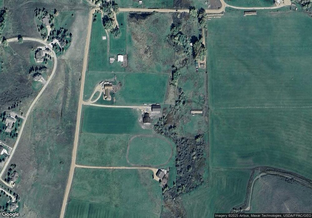
Map
Nearby Homes
- 7 Mallard Rd
- 4 Mallard Rd
- 3 Mallard Rd
- 96 Canvasback Rd
- 40 Mallard Rd
- 18 Circle 8 Dr
- TBD Mccormick Rd Unit Lot 2
- TBD Mccormick Rd Unit Lot 1
- 1 Deer Haven Dr
- 91 Wyoming 335
- TBD Wagon Wheel Ct Unit F10
- TBD Wagon Wheel Ct Unit F11
- TBD Wagon Wheel Ct Unit Lot 1
- TBD Wagon Wheel Ct Unit Lot 2
- Tbd Wagon Wheel Court Lot F11
- Tbd Wagon Wheel Ct Lot F10 & F11
- 21 Eagle Ridge Dr
- 37 Maverick Rd
- 8 Buckskin Dr
- TBD Eagle Ridge Dr Unit H-7
- 78 Mccormick Rd
- 59 Mccormick Rd
- 11 Mallard Rd
- 14 Mallard Rd
- 28 Mallard Rd
- 32 Mallard Rd
- 35 Mallard Rd
- 26 Mccormick Rd
- 83 Canvasback Rd
- 5 Mallard Rd
- 89 Canvasback Rd
- 36 Mallard Rd
- 33 Mccormick Rd
- 75 Canvasback Rd
- 11 Widgeon Dr
- 16 Widgeon Dr
- 31 Mccormick Rd
- 80 Canvasback Rd
- 35 Mccormick Rd
- 72 Canvasback Rd