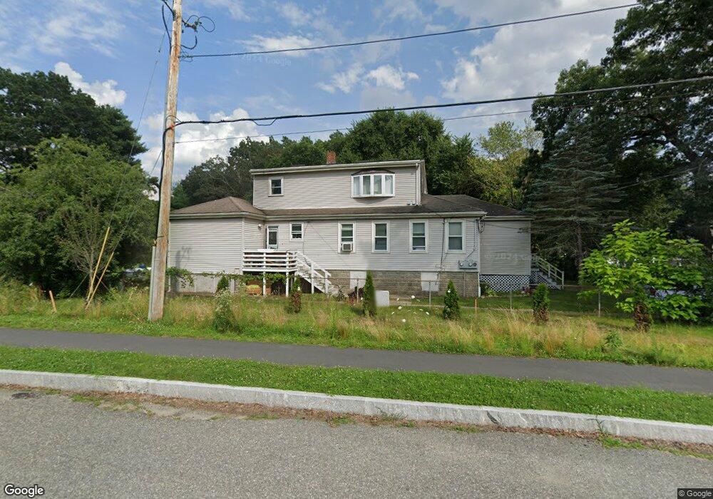
81 McDonald Rd Wilmington, MA 01887
Estimated Value: $804,834 - $1,154,000
6
Beds
3
Baths
4,872
Sq Ft
$207/Sq Ft
Est. Value
About This Home
This home is located at 81 McDonald Rd, Wilmington, MA 01887 and is currently estimated at $1,008,209, approximately $206 per square foot. 81 McDonald Rd is a home located in Middlesex County with nearby schools including Wilmington Middle School, Wilmington High School, and Abundant Life Christian School and Childcare.
Ownership History
Date
Name
Owned For
Owner Type
Purchase Details
Closed on
Nov 7, 2002
Sold by
Brockbank Melinda
Bought by
Roquini Rildo
Current Estimated Value
Home Financials for this Owner
Home Financials are based on the most recent Mortgage that was taken out on this home.
Original Mortgage
$426,550
Outstanding Balance
$178,926
Interest Rate
6.04%
Mortgage Type
Purchase Money Mortgage
Estimated Equity
$829,283
Purchase Details
Closed on
May 29, 1991
Sold by
Kunigenas Michael
Bought by
Warren Peter S
Home Financials for this Owner
Home Financials are based on the most recent Mortgage that was taken out on this home.
Original Mortgage
$112,726
Interest Rate
9.35%
Mortgage Type
Purchase Money Mortgage
Create a Home Valuation Report for This Property
The Home Valuation Report is an in-depth analysis detailing your home's value as well as a comparison with similar homes in the area
Home Values in the Area
Average Home Value in this Area
Purchase History
| Date | Buyer | Sale Price | Title Company |
|---|---|---|---|
| Roquini Rildo | $449,000 | -- | |
| Warren Peter S | $114,000 | -- | |
| Warren Peter S | $114,000 | -- |
Source: Public Records
Mortgage History
| Date | Status | Borrower | Loan Amount |
|---|---|---|---|
| Open | Warren Peter S | $426,550 | |
| Previous Owner | Warren Peter S | $140,000 | |
| Previous Owner | Warren Peter S | $112,000 | |
| Previous Owner | Warren Peter S | $112,726 |
Source: Public Records
Tax History Compared to Growth
Tax History
| Year | Tax Paid | Tax Assessment Tax Assessment Total Assessment is a certain percentage of the fair market value that is determined by local assessors to be the total taxable value of land and additions on the property. | Land | Improvement |
|---|---|---|---|---|
| 2025 | $7,768 | $678,400 | $276,400 | $402,000 |
| 2024 | $7,253 | $634,600 | $276,400 | $358,200 |
| 2023 | $7,277 | $609,500 | $251,300 | $358,200 |
| 2022 | $7,395 | $567,500 | $209,300 | $358,200 |
| 2021 | $7,777 | $561,900 | $190,300 | $371,600 |
| 2020 | $7,083 | $521,600 | $190,300 | $331,300 |
| 2019 | $6,383 | $464,200 | $181,200 | $283,000 |
| 2018 | $6,371 | $442,100 | $172,600 | $269,500 |
| 2017 | $6,005 | $415,600 | $170,200 | $245,400 |
| 2016 | $5,962 | $407,500 | $162,100 | $245,400 |
| 2015 | $5,856 | $407,500 | $162,100 | $245,400 |
| 2014 | $5,733 | $402,600 | $154,400 | $248,200 |
Source: Public Records
Map
Nearby Homes