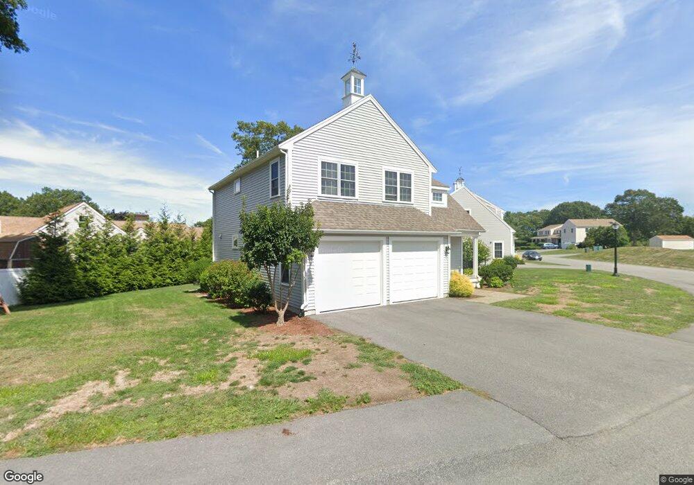
81 Meredith Way Weymouth, MA 02188
Weymouth Landing NeighborhoodEstimated Value: $945,835 - $1,190,000
4
Beds
3
Baths
2,151
Sq Ft
$474/Sq Ft
Est. Value
About This Home
This home is located at 81 Meredith Way, Weymouth, MA 02188 and is currently estimated at $1,019,709, approximately $474 per square foot. 81 Meredith Way is a home with nearby schools including Abigail Adams Middle School, William Seach Elementary School, and Weymouth Middle School Chapman.
Ownership History
Date
Name
Owned For
Owner Type
Purchase Details
Closed on
Oct 27, 2017
Sold by
Meredith Woods Llc
Bought by
Obrien Kevin
Current Estimated Value
Home Financials for this Owner
Home Financials are based on the most recent Mortgage that was taken out on this home.
Original Mortgage
$485,600
Outstanding Balance
$406,155
Interest Rate
3.78%
Mortgage Type
New Conventional
Estimated Equity
$613,554
Create a Home Valuation Report for This Property
The Home Valuation Report is an in-depth analysis detailing your home's value as well as a comparison with similar homes in the area
Home Values in the Area
Average Home Value in this Area
Purchase History
| Date | Buyer | Sale Price | Title Company |
|---|---|---|---|
| Obrien Kevin | $607,555 | -- |
Source: Public Records
Mortgage History
| Date | Status | Borrower | Loan Amount |
|---|---|---|---|
| Open | Obrien Kevin | $485,600 |
Source: Public Records
Tax History Compared to Growth
Tax History
| Year | Tax Paid | Tax Assessment Tax Assessment Total Assessment is a certain percentage of the fair market value that is determined by local assessors to be the total taxable value of land and additions on the property. | Land | Improvement |
|---|---|---|---|---|
| 2025 | $9,204 | $911,300 | $224,600 | $686,700 |
| 2024 | $8,987 | $875,100 | $213,900 | $661,200 |
| 2023 | $8,549 | $818,100 | $198,100 | $620,000 |
| 2022 | $8,300 | $724,300 | $183,400 | $540,900 |
| 2021 | $7,681 | $654,300 | $183,400 | $470,900 |
| 2020 | $7,547 | $633,100 | $200,100 | $433,000 |
| 2019 | $7,408 | $611,200 | $192,400 | $418,800 |
| 2018 | $2,385 | $190,800 | $190,800 | $0 |
| 2017 | $2,329 | $181,800 | $181,800 | $0 |
| 2016 | $2,237 | $174,800 | $174,800 | $0 |
| 2015 | $2,255 | $174,800 | $174,800 | $0 |
| 2014 | $2,164 | $162,700 | $162,700 | $0 |
Source: Public Records
Map
Nearby Homes
- 12 Klasson Ln
- 42 Sundin Rd
- 286 Broad St
- 286 Essex St
- 33 Congress St
- 19 Vine St Unit 3
- 19 Vine St Unit 1
- 367 Essex St
- 449 Middle St
- 114 Broad St Unit D
- 114 Broad St Unit C
- 16 Lindbergh Ave
- 23-25 Lindbergh Ave
- 303 Middle St
- 76 Kingman St
- 54 Federal St
- 24 Blake Rd
- 11 Richmond St
- 29-31 Broad Street Place
- 122 Washington St Unit 22
- 71 Meredith Way
- 113 Springvale Cir
- 80 Meredith Way
- 93 Meredith Way
- 65 Meredith Way
- 107 Springvale Cir
- 32 Gretchens Way
- 99 Meredith Way
- 121 Springvale Cir
- 59 Meredith Way
- 104 Meredith Way
- 105 Meredith Way
- 53 Meredith Way
- 110 Springvale Cir
- 24 Gretchens Way
- 99 Springvale Cir
- 46 Meredith Way
- 129 Springvale Cir
- 110 Meredith Way
- 20 Gretchens Way