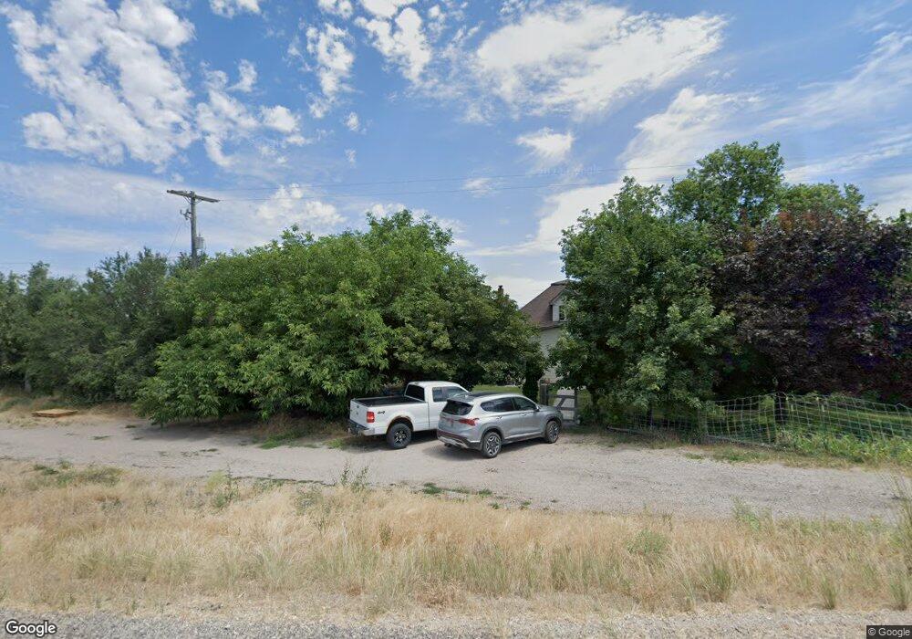
81 N Main Hwy Clifton, ID 83228
Estimated Value: $377,000 - $427,000
4
Beds
2
Baths
1,680
Sq Ft
$242/Sq Ft
Est. Value
About This Home
This home is located at 81 N Main Hwy, Clifton, ID 83228 and is currently estimated at $406,773, approximately $242 per square foot. 81 N Main Hwy is a home with nearby schools including Harold B. Lee Elementary School, Harold B. Lee Middle School, and West Side Senior High School.
Ownership History
Date
Name
Owned For
Owner Type
Purchase Details
Closed on
Mar 3, 2025
Sold by
Rider Emma Jean B
Bought by
Jim And Emma Jean Rider Living Trust and Rider
Current Estimated Value
Purchase Details
Closed on
Nov 15, 2023
Sold by
Choules Property Holdings Llc
Bought by
Choules Property Holdings Llc
Purchase Details
Closed on
Aug 18, 2005
Sold by
Rider James L
Bought by
Rider James Lynn and Rider Emma Jean
Create a Home Valuation Report for This Property
The Home Valuation Report is an in-depth analysis detailing your home's value as well as a comparison with similar homes in the area
Home Values in the Area
Average Home Value in this Area
Purchase History
| Date | Buyer | Sale Price | Title Company |
|---|---|---|---|
| Jim And Emma Jean Rider Living Trust | -- | None Listed On Document | |
| Jim And Emma Jean Rider Living Trust | -- | None Listed On Document | |
| Choules Property Holdings Llc | -- | Northern Title Company | |
| Rider James Lynn | -- | -- |
Source: Public Records
Tax History Compared to Growth
Tax History
| Year | Tax Paid | Tax Assessment Tax Assessment Total Assessment is a certain percentage of the fair market value that is determined by local assessors to be the total taxable value of land and additions on the property. | Land | Improvement |
|---|---|---|---|---|
| 2025 | $1,329 | $312,531 | $106,600 | $205,931 |
| 2024 | $1,329 | $312,531 | $106,600 | $205,931 |
| 2023 | $1,045 | $249,233 | $106,600 | $142,633 |
| 2022 | $1,045 | $200,761 | $58,128 | $142,633 |
| 2021 | $1,100 | $189,001 | $60,240 | $128,761 |
| 2019 | $950 | $118,252 | $60,240 | $58,012 |
| 2018 | $824 | $97,312 | $39,300 | $58,012 |
| 2017 | $852 | $97,816 | $39,300 | $58,516 |
| 2016 | $408 | $86,600 | $39,300 | $47,300 |
| 2015 | $404 | $87,180 | $39,300 | $47,880 |
| 2014 | $12,140 | $87,180 | $39,300 | $47,880 |
| 2013 | $10,804 | $68,110 | $39,300 | $28,810 |
Source: Public Records
Map
Nearby Homes
- 30 W 100 S
- 3200 N 4400 W Unit 1
- 3200 N 4400 W Unit 2
- 4000 N 4400 W Unit 7
- 4000 N 4400 W Unit 4
- 3 Hull Lot of Littles Subdivisio Unit 3
- 5700 W Oxforrd Rd N Unit 1
- 2 Hull Lot of Littles Subdivisio Unit 2
- 1 Hull Lot of Littles Subdvision Unit 1
- N 4000 Rd W
- 4000 W 7200 N
- 1145 N Westside Hwy
- 1592 W 6700 N
- 1352 N 4000 W
- 1100 W 6700 Rd N
- 7500 N 1200 W
- 1200 Mail Route Rd
- 1542 N 1400 W
- 1542 N 1400 W
- 3515 W 100 S