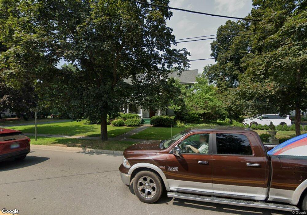
81 N Main St Clarkston, MI 48346
Estimated Value: $418,688 - $495,000
3
Beds
2
Baths
1,951
Sq Ft
$235/Sq Ft
Est. Value
About This Home
This home is located at 81 N Main St, Clarkston, MI 48346 and is currently estimated at $458,172, approximately $234 per square foot. 81 N Main St is a home located in Oakland County with nearby schools including Everest Academy, Springfield Christian Academy, and Our Lady Of The Lakes Catholic School.
Ownership History
Date
Name
Owned For
Owner Type
Purchase Details
Closed on
Jul 9, 2024
Sold by
Seman Douglas John
Bought by
Menard Remington David
Current Estimated Value
Home Financials for this Owner
Home Financials are based on the most recent Mortgage that was taken out on this home.
Original Mortgage
$392,850
Outstanding Balance
$388,194
Interest Rate
7.03%
Mortgage Type
New Conventional
Estimated Equity
$69,978
Purchase Details
Closed on
Nov 21, 2005
Sold by
Lawson Curt F and Lawson Erin R
Bought by
Seman Douglas and Dubczak Kimberly
Purchase Details
Closed on
Dec 21, 2000
Sold by
Kelley Michael
Bought by
Lawson Curt F
Purchase Details
Closed on
Nov 15, 2000
Sold by
Ray Kathleen M
Bought by
Lawson Curt F
Purchase Details
Closed on
Nov 8, 1996
Sold by
Ronk Elizabeth
Bought by
Kelley Michael
Purchase Details
Closed on
Apr 15, 1996
Sold by
Ronk Elizabeth
Bought by
Ronk Elizabeth
Create a Home Valuation Report for This Property
The Home Valuation Report is an in-depth analysis detailing your home's value as well as a comparison with similar homes in the area
Home Values in the Area
Average Home Value in this Area
Purchase History
| Date | Buyer | Sale Price | Title Company |
|---|---|---|---|
| Menard Remington David | $415,000 | None Listed On Document | |
| Seman Douglas | $314,000 | Metropolitan Title Company | |
| Lawson Curt F | $250,000 | -- | |
| Lawson Curt F | $2,500 | -- | |
| Kelley Michael | $65,000 | -- | |
| Ronk Elizabeth | -- | -- |
Source: Public Records
Mortgage History
| Date | Status | Borrower | Loan Amount |
|---|---|---|---|
| Open | Menard Remington David | $392,850 | |
| Closed | Lawson Curt F | -- |
Source: Public Records
Tax History Compared to Growth
Tax History
| Year | Tax Paid | Tax Assessment Tax Assessment Total Assessment is a certain percentage of the fair market value that is determined by local assessors to be the total taxable value of land and additions on the property. | Land | Improvement |
|---|---|---|---|---|
| 2024 | $2,143 | $182,570 | $0 | $0 |
| 2023 | $2,271 | $162,590 | $0 | $0 |
| 2022 | $2,091 | $142,620 | $0 | $0 |
| 2021 | $2,677 | $128,720 | $0 | $0 |
| 2020 | $2,162 | $109,550 | $0 | $0 |
| 2019 | $2,646 | $98,700 | $0 | $0 |
| 2018 | $2,603 | $92,840 | $0 | $0 |
| 2017 | $2,592 | $88,440 | $0 | $0 |
| 2016 | $2,593 | $80,460 | $0 | $0 |
| 2015 | -- | $67,690 | $0 | $0 |
| 2014 | -- | $62,120 | $0 | $0 |
| 2011 | -- | $81,470 | $0 | $0 |
Source: Public Records
Map
Nearby Homes
- 17 N Holcomb Rd
- 155 N Main St
- 62 Robertson Ct
- 59 S Main St
- 90 E Washington St
- 6905 W Church St
- Townview drive Townview Dr
- 6512 White Lake Rd
- 0000 Deerhill
- 7181 Hillside Dr
- 6360 Havelock Dr
- 6171 S Main St
- 6095 Sunnydale Rd
- 6024 Overlook
- 6319 Eastlawn Ave
- 9457 Dixie Hwy
- V/L Dixie Hwy
- 6830 Dixie Hwy
- 5955 Chickadee Ln
- 5920 Warbler Dr