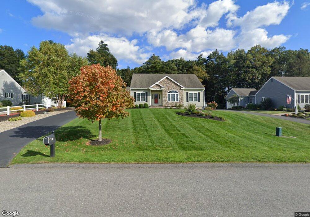
81 Nicholas Dr Unit 79 Lancaster, MA 01523
Estimated Value: $698,018 - $748,000
3
Beds
2
Baths
2,000
Sq Ft
$358/Sq Ft
Est. Value
About This Home
This home is located at 81 Nicholas Dr Unit 79, Lancaster, MA 01523 and is currently estimated at $715,755, approximately $357 per square foot. 81 Nicholas Dr Unit 79 is a home located in Worcester County with nearby schools including Mary Rowlandson Elementary School, Luther Burbank Middle School, and Nashoba Regional High School.
Ownership History
Date
Name
Owned For
Owner Type
Purchase Details
Closed on
Jun 30, 2010
Sold by
Eagle Estates Llc
Bought by
Defeudis Virginia A
Current Estimated Value
Home Financials for this Owner
Home Financials are based on the most recent Mortgage that was taken out on this home.
Original Mortgage
$110,000
Outstanding Balance
$72,253
Interest Rate
4.88%
Mortgage Type
Purchase Money Mortgage
Estimated Equity
$643,502
Create a Home Valuation Report for This Property
The Home Valuation Report is an in-depth analysis detailing your home's value as well as a comparison with similar homes in the area
Home Values in the Area
Average Home Value in this Area
Purchase History
| Date | Buyer | Sale Price | Title Company |
|---|---|---|---|
| Defeudis Virginia A | $413,320 | -- |
Source: Public Records
Mortgage History
| Date | Status | Borrower | Loan Amount |
|---|---|---|---|
| Open | Defeudis Virginia A | $110,000 |
Source: Public Records
Tax History
| Year | Tax Paid | Tax Assessment Tax Assessment Total Assessment is a certain percentage of the fair market value that is determined by local assessors to be the total taxable value of land and additions on the property. | Land | Improvement |
|---|---|---|---|---|
| 2025 | $10,244 | $633,900 | $67,000 | $566,900 |
| 2024 | $10,436 | $597,700 | $53,700 | $544,000 |
| 2023 | $9,652 | $561,500 | $49,700 | $511,800 |
| 2022 | $9,527 | $489,800 | $84,000 | $405,800 |
| 2021 | $9,183 | $459,600 | $84,000 | $375,600 |
| 2020 | $8,694 | $438,000 | $65,500 | $372,500 |
| 2019 | $8,356 | $423,100 | $94,400 | $328,700 |
| 2018 | $7,461 | $373,400 | $94,400 | $279,000 |
| 2016 | $7,628 | $390,200 | $137,800 | $252,400 |
| 2015 | $7,208 | $384,200 | $137,800 | $246,400 |
| 2014 | $7,144 | $377,800 | $137,800 | $240,000 |
Source: Public Records
Map
Nearby Homes
- 54 S Meadow Rd
- 96 Clinton Rd
- 18 Highfield Dr
- 73 Prescott St
- 121 &125 Flanagan Hill Rd
- 0 Parker Rd
- 76 Mill St Unit 3
- 37 Sterling St
- 2 Turtle Ln Unit 2
- 20 Willow St
- 6A Patriots Way Unit 37
- 132 Kilbourn Rd
- 5 Catherine St
- 134 Leominster Rd
- 51 Rigby St
- 2 Lydia Ln
- 719 Main St
- 508 High St
- 57 Clark St
- 55 Sterling St Unit 306
- 81 Nicholas Dr
- 87 Nicholas Dr
- 73 Nicholas Dr
- 89 Nicholas Dr
- 79 Nicholas Dr
- 85 Nicholas Dr
- 97 Nicholas Dr
- Lot 99 Nicholas at Eagle Ridge
- 256 Mary Catherine Dr
- 256 Mary Catherine Dr Unit 256
- 57 Nicholas Dr Unit 101
- 230 Mary Catherine Dr
- 80 Nicholas Dr
- 92 Nicholas Dr Unit 29
- 92 Nicholas Dr
- 84 Nicholas Dr
- 37 Nicholas Dr
- 78 Nicholas Dr
- 102 Nicholas Dr Unit 37
- 104 Nicholas Dr
Your Personal Tour Guide
Ask me questions while you tour the home.