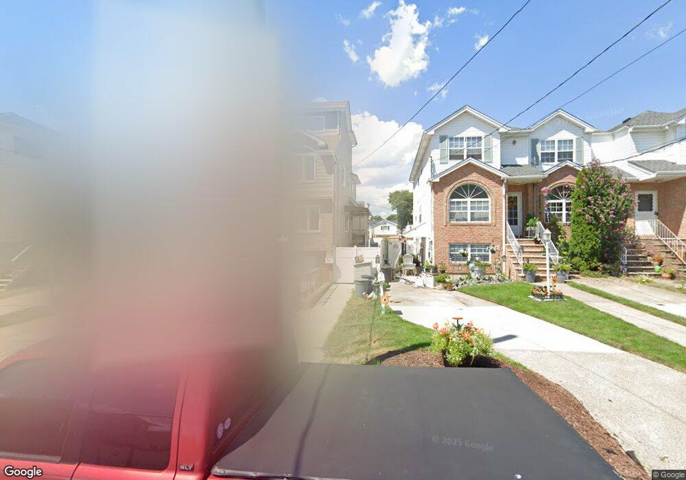
81 Nugent Ave Staten Island, NY 10305
South Beach NeighborhoodEstimated Value: $653,000 - $774,000
--
Bed
4
Baths
1,204
Sq Ft
$593/Sq Ft
Est. Value
About This Home
This home is located at 81 Nugent Ave, Staten Island, NY 10305 and is currently estimated at $713,501, approximately $592 per square foot. 81 Nugent Ave is a home located in Richmond County with nearby schools including P.S. 46 Albert V Maniscalco, I.S. 49 Berta A Dreyfus, and Curtis High School.
Ownership History
Date
Name
Owned For
Owner Type
Purchase Details
Closed on
Jul 9, 1998
Sold by
Ole Kj Construction Corp
Bought by
Delpriore Steven A
Current Estimated Value
Home Financials for this Owner
Home Financials are based on the most recent Mortgage that was taken out on this home.
Original Mortgage
$129,900
Outstanding Balance
$26,560
Interest Rate
6.99%
Estimated Equity
$686,941
Create a Home Valuation Report for This Property
The Home Valuation Report is an in-depth analysis detailing your home's value as well as a comparison with similar homes in the area
Home Values in the Area
Average Home Value in this Area
Purchase History
| Date | Buyer | Sale Price | Title Company |
|---|---|---|---|
| Delpriore Steven A | $172,500 | -- |
Source: Public Records
Mortgage History
| Date | Status | Borrower | Loan Amount |
|---|---|---|---|
| Open | Delpriore Steven A | $129,900 |
Source: Public Records
Tax History Compared to Growth
Tax History
| Year | Tax Paid | Tax Assessment Tax Assessment Total Assessment is a certain percentage of the fair market value that is determined by local assessors to be the total taxable value of land and additions on the property. | Land | Improvement |
|---|---|---|---|---|
| 2025 | $5,827 | $45,660 | $4,756 | $40,904 |
| 2024 | $5,839 | $37,320 | $5,819 | $31,501 |
| 2023 | $5,846 | $30,184 | $5,683 | $24,501 |
| 2022 | $5,398 | $33,120 | $7,140 | $25,980 |
| 2021 | $5,350 | $33,120 | $7,140 | $25,980 |
| 2020 | $5,069 | $30,540 | $7,140 | $23,400 |
| 2019 | $5,009 | $32,640 | $7,140 | $25,500 |
| 2018 | $4,830 | $25,153 | $6,945 | $18,208 |
| 2017 | $4,538 | $23,730 | $6,990 | $16,740 |
| 2016 | $4,165 | $22,387 | $6,562 | $15,825 |
| 2015 | $2,979 | $21,120 | $5,940 | $15,180 |
| 2014 | $2,979 | $21,120 | $5,940 | $15,180 |
Source: Public Records
Map
Nearby Homes
- 71 Cameron Ave
- 220 Norway Ave
- 84 Winfield St
- 236 Mallory Ave
- 206 Benton Ave
- 12 Reid Ave
- 200 Mallory Ave
- 104 Winfield St
- 11 Lava St
- 12 Mcdermott Ave
- 275 Hurlbert St
- 139 Hurlbert St
- 504 Mcclean Ave
- 125 Laconia Ave
- 182 Olympia Blvd
- 381 Burgher Ave
- 166 Jerome Ave
- 115 W Broadway Unit 4
- 40 Mclaughlin St
- 62 Mclaughlin St