81 Numer Rd Newport, PA 17074
Estimated Value: $201,000 - $321,000
Studio
--
Bath
1,232
Sq Ft
$215/Sq Ft
Est. Value
About This Home
This home is located at 81 Numer Rd, Newport, PA 17074 and is currently estimated at $264,489, approximately $214 per square foot. 81 Numer Rd is a home located in Perry County with nearby schools including Newport Elementary School, Newport Middle School, and Newport High School.
Ownership History
Date
Name
Owned For
Owner Type
Purchase Details
Closed on
Mar 15, 2018
Sold by
Rathmell Roxxanne Elaina and Hambight Roxanne E
Bought by
Sidenstick Taylor A and Sidenstick Jennifer L
Current Estimated Value
Home Financials for this Owner
Home Financials are based on the most recent Mortgage that was taken out on this home.
Original Mortgage
$137,902
Outstanding Balance
$117,720
Interest Rate
4.22%
Mortgage Type
VA
Estimated Equity
$146,769
Purchase Details
Closed on
Sep 14, 2009
Sold by
Taylor Janet L
Bought by
Rathmell Roxanna Elaina
Create a Home Valuation Report for This Property
The Home Valuation Report is an in-depth analysis detailing your home's value as well as a comparison with similar homes in the area
Purchase History
| Date | Buyer | Sale Price | Title Company |
|---|---|---|---|
| Sidenstick Taylor A | $135,000 | None Available | |
| Rathmell Roxanna Elaina | -- | None Available |
Source: Public Records
Mortgage History
| Date | Status | Borrower | Loan Amount |
|---|---|---|---|
| Open | Sidenstick Taylor A | $137,902 |
Source: Public Records
Tax History
| Year | Tax Paid | Tax Assessment Tax Assessment Total Assessment is a certain percentage of the fair market value that is determined by local assessors to be the total taxable value of land and additions on the property. | Land | Improvement |
|---|---|---|---|---|
| 2025 | $37 | $162,700 | $37,900 | $124,800 |
| 2024 | $3,524 | $162,700 | $37,900 | $124,800 |
| 2023 | $3,445 | $162,700 | $37,900 | $124,800 |
| 2022 | $3,381 | $162,700 | $37,900 | $124,800 |
| 2021 | $3,278 | $162,700 | $37,900 | $124,800 |
| 2020 | $3,075 | $162,700 | $37,900 | $124,800 |
| 2019 | $3,015 | $162,700 | $37,900 | $124,800 |
| 2018 | $2,973 | $162,700 | $37,900 | $124,800 |
| 2017 | $2,927 | $162,700 | $37,900 | $124,800 |
| 2016 | -- | $162,700 | $37,900 | $124,800 |
| 2015 | -- | $162,700 | $37,900 | $124,800 |
| 2014 | $2,659 | $162,700 | $37,900 | $124,800 |
Source: Public Records
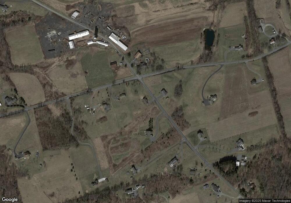
Map
Nearby Homes
- 2291 Middle Ridge Rd
- 4201 Middle Ridge Rd
- 66 Brookview Dr
- 440 Gantt St
- 829 Pintail Dr
- 653 Keystone Way
- 67 S 2nd St
- 0 Hickory Ridge Rd
- 849 Sugar Run Rd
- 122 - 124 W Main St
- 127 W Mcclure St
- 305 W Main St
- 302 S Carlisle St
- 415 Daniel Rd
- 451 Upper Bailey Rd
- 586 Old Limekiln Ln
- 159 Juniata Pkwy E
- 57 Metz Ln
- 128 Wildcat Rd
- 4020 Mannsville Rd