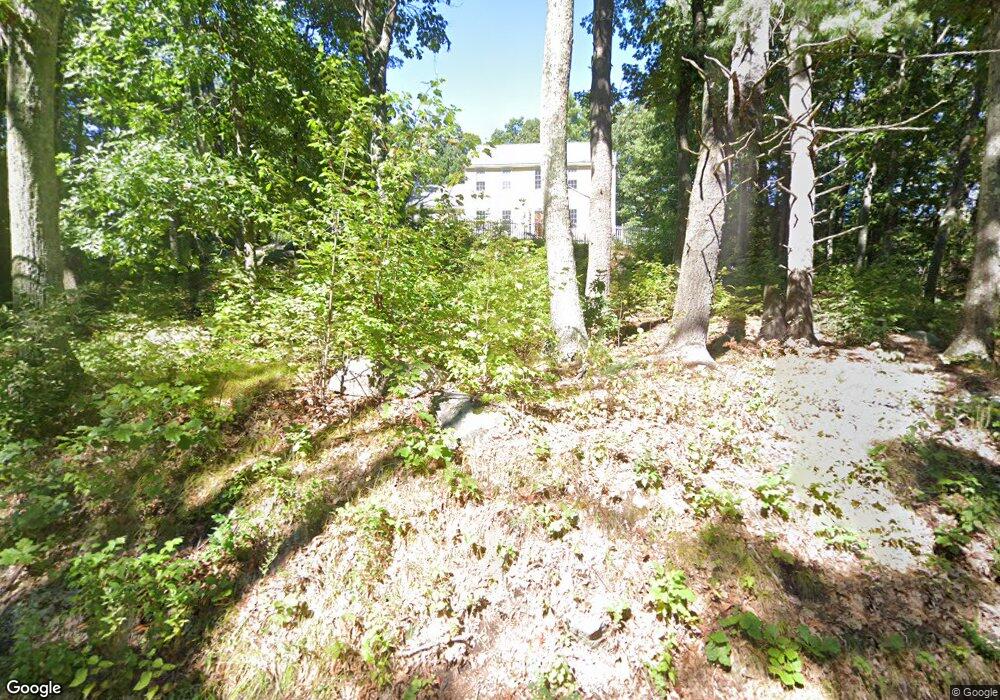
81 Old Common Rd Auburn, MA 01501
Pondville NeighborhoodEstimated Value: $678,000 - $808,000
3
Beds
3
Baths
1,940
Sq Ft
$373/Sq Ft
Est. Value
About This Home
This home is located at 81 Old Common Rd, Auburn, MA 01501 and is currently estimated at $722,959, approximately $372 per square foot. 81 Old Common Rd is a home located in Worcester County with nearby schools including Auburn Senior High School and Shrewsbury Montessori School - Auburn Campus.
Ownership History
Date
Name
Owned For
Owner Type
Purchase Details
Closed on
Dec 16, 2019
Sold by
Dinsdale David B
Bought by
Bjork Laura and Bjork Corey
Current Estimated Value
Home Financials for this Owner
Home Financials are based on the most recent Mortgage that was taken out on this home.
Original Mortgage
$340,000
Outstanding Balance
$300,345
Interest Rate
3.7%
Mortgage Type
New Conventional
Estimated Equity
$422,614
Purchase Details
Closed on
Oct 7, 2009
Sold by
Dinsdale David B and Giles Margaret A
Bought by
Dinsdale Rt and Dinsdale David B
Purchase Details
Closed on
Jan 17, 2002
Sold by
Pre Dev Corp
Bought by
Dinsdale David B and Dinsdale Margaret A
Purchase Details
Closed on
Jun 29, 2001
Sold by
Reardon Timothy J and Reardon Virginia R
Bought by
Pre Dev Corp
Create a Home Valuation Report for This Property
The Home Valuation Report is an in-depth analysis detailing your home's value as well as a comparison with similar homes in the area
Home Values in the Area
Average Home Value in this Area
Purchase History
| Date | Buyer | Sale Price | Title Company |
|---|---|---|---|
| Bjork Laura | $432,000 | None Available | |
| Dinsdale Rt | -- | -- | |
| Dinsdale David B | $316,028 | -- | |
| Pre Dev Corp | $74,000 | -- |
Source: Public Records
Mortgage History
| Date | Status | Borrower | Loan Amount |
|---|---|---|---|
| Open | Bjork Laura | $340,000 | |
| Previous Owner | Pre Dev Corp | $297,000 | |
| Previous Owner | Pre Dev Corp | $297,500 |
Source: Public Records
Tax History
| Year | Tax Paid | Tax Assessment Tax Assessment Total Assessment is a certain percentage of the fair market value that is determined by local assessors to be the total taxable value of land and additions on the property. | Land | Improvement |
|---|---|---|---|---|
| 2025 | $87 | $612,200 | $145,500 | $466,700 |
| 2024 | $8,386 | $561,700 | $141,600 | $420,100 |
| 2023 | $8,031 | $505,700 | $128,800 | $376,900 |
| 2022 | $7,517 | $446,900 | $128,800 | $318,100 |
| 2021 | $7,283 | $401,500 | $113,600 | $287,900 |
| 2020 | $6,949 | $386,500 | $113,600 | $272,900 |
| 2019 | $6,961 | $377,900 | $112,300 | $265,600 |
| 2018 | $3,065 | $370,800 | $105,100 | $265,700 |
| 2017 | $6,630 | $361,500 | $95,800 | $265,700 |
| 2016 | $6,304 | $348,500 | $98,500 | $250,000 |
| 2015 | $5,951 | $344,800 | $98,500 | $246,300 |
| 2014 | $5,811 | $336,100 | $93,900 | $242,200 |
Source: Public Records
Map
Nearby Homes
- 61 School St
- 6 George St
- 36 Central St
- 8 South Terrace
- 137 South St
- 751 Washington St Unit 43A
- 557 SW Cutoff Unit 17
- 557 SW Cutoff Unit 55
- 557 SW Cutoff Unit 60
- 557 SW Cutoff Unit 130B
- 557 SW Cutoff Unit 130C
- 557 SW Cutoff Unit 130A
- 31 Walsh Ave
- 31-33 Walsh Ave
- 33 Walsh Ave
- 303 W Main St
- 33 Eastford Rd
- 166 Leicester St
- 328 Oxford St N
- 40 Bryn Mawr Ave
- 85 Old Common Rd
- 85 Old Common Rd Unit 85
- 75 Old Common Rd
- 90 Old Common Rd
- 76 Old Common Rd
- 70 Old Common Rd
- 100 Old Common Rd
- 72 Old Common Rd
- 102 Old Common Rd
- 59 Old Common Rd
- 101 Old Common Rd
- 66 Old Common Rd
- 104 Old Common Rd
- 1 May Ln
- 57 Old Common Rd
- 105 Old Common Rd
- 60 Old Common Rd
- 60 Old Common Rd Unit 1
- 56 Old Common Rd
- 107 Old Common Rd
Your Personal Tour Guide
Ask me questions while you tour the home.