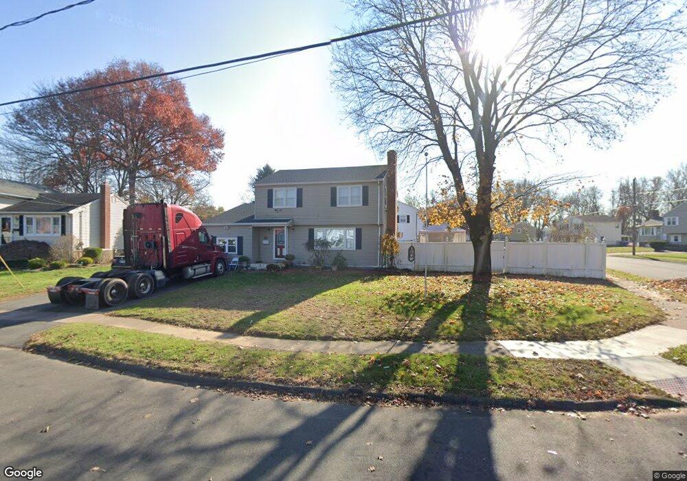
81 Overbrook Dr East Hartford, CT 06118
Estimated Value: $349,000 - $405,000
5
Beds
2
Baths
2,083
Sq Ft
$183/Sq Ft
Est. Value
About This Home
This home is located at 81 Overbrook Dr, East Hartford, CT 06118 and is currently estimated at $380,243, approximately $182 per square foot. 81 Overbrook Dr is a home located in Hartford County with nearby schools including East Hartford Middle School and East Hartford High School.
Ownership History
Date
Name
Owned For
Owner Type
Purchase Details
Closed on
Oct 30, 2006
Sold by
Vancour Barbara J
Bought by
Mcfarlane Uriah and Stewart-Mcfarlane Audrey
Current Estimated Value
Home Financials for this Owner
Home Financials are based on the most recent Mortgage that was taken out on this home.
Original Mortgage
$252,000
Outstanding Balance
$178,030
Interest Rate
9.99%
Estimated Equity
$202,213
Purchase Details
Closed on
Jan 23, 1987
Sold by
Cogoli Gregory
Bought by
Dow David L
Create a Home Valuation Report for This Property
The Home Valuation Report is an in-depth analysis detailing your home's value as well as a comparison with similar homes in the area
Home Values in the Area
Average Home Value in this Area
Purchase History
| Date | Buyer | Sale Price | Title Company |
|---|---|---|---|
| Mcfarlane Uriah | $252,000 | -- | |
| Dow David L | $125,000 | -- |
Source: Public Records
Mortgage History
| Date | Status | Borrower | Loan Amount |
|---|---|---|---|
| Open | Dow David L | $252,000 | |
| Previous Owner | Dow David L | $149,800 | |
| Previous Owner | Dow David L | $95,828 | |
| Previous Owner | Dow David L | $15,000 |
Source: Public Records
Tax History Compared to Growth
Tax History
| Year | Tax Paid | Tax Assessment Tax Assessment Total Assessment is a certain percentage of the fair market value that is determined by local assessors to be the total taxable value of land and additions on the property. | Land | Improvement |
|---|---|---|---|---|
| 2025 | $7,890 | $171,890 | $46,790 | $125,100 |
| 2024 | $7,563 | $171,890 | $46,790 | $125,100 |
| 2023 | $7,312 | $171,890 | $46,790 | $125,100 |
| 2022 | $7,047 | $171,890 | $46,790 | $125,100 |
| 2021 | $6,151 | $124,640 | $32,220 | $92,420 |
| 2020 | $6,222 | $124,640 | $32,220 | $92,420 |
| 2019 | $6,121 | $124,640 | $32,220 | $92,420 |
| 2018 | $5,940 | $124,640 | $32,220 | $92,420 |
| 2017 | $5,864 | $124,640 | $32,220 | $92,420 |
| 2016 | $6,014 | $131,140 | $30,610 | $100,530 |
| 2015 | $6,014 | $131,140 | $30,610 | $100,530 |
| 2014 | $5,954 | $131,140 | $30,610 | $100,530 |
Source: Public Records
Map
Nearby Homes
- 5 Rivermead Blvd
- 29 Porterbrook Ave
- 7 Montauk Rd
- 64 Cheyenne Rd
- 15 Sioux Rd
- 16 Sioux Rd
- 27 Scott Cir
- 83 Cambridge Dr
- 242 Main St
- 246 Main St
- 247 Main St
- 48 Suffolk Dr
- 122 Cambridge Dr
- 17 Handel Rd
- 349 Naubuc Ave
- 1844 Lot #1 Main St
- 164 Cambridge Dr
- 43 Kingsbury Ln
- 280 Woodycrest Dr
- 47 Brewster Rd Unit C