81 Peckham Ln Westport, MA 02790
Acoaxet NeighborhoodEstimated Value: $2,508,000 - $4,082,006
7
Beds
2
Baths
3,032
Sq Ft
$1,131/Sq Ft
Est. Value
About This Home
This home is located at 81 Peckham Ln, Westport, MA 02790 and is currently estimated at $3,429,752, approximately $1,131 per square foot. 81 Peckham Ln is a home located in Bristol County with nearby schools including Alice A. Macomber Primary School, Westport Elementary School, and Westport Middle-High School.
Ownership History
Date
Name
Owned For
Owner Type
Purchase Details
Closed on
May 17, 2024
Sold by
Thompson Christopher C and Thompson Elizabeth K
Bought by
Thompson Christopher C
Current Estimated Value
Purchase Details
Closed on
Oct 19, 2007
Sold by
Jansen Tr Thomas Bb
Bought by
Thompson Christopher C and Thompson Elizabeth K
Home Financials for this Owner
Home Financials are based on the most recent Mortgage that was taken out on this home.
Original Mortgage
$400,000
Interest Rate
6.51%
Mortgage Type
Purchase Money Mortgage
Create a Home Valuation Report for This Property
The Home Valuation Report is an in-depth analysis detailing your home's value as well as a comparison with similar homes in the area
Home Values in the Area
Average Home Value in this Area
Purchase History
| Date | Buyer | Sale Price | Title Company |
|---|---|---|---|
| Thompson Christopher C | -- | None Available | |
| Thompson Christopher C | -- | None Available | |
| Thompson Christopher C | $1,490,000 | -- | |
| Thompson Christopher C | $1,490,000 | -- |
Source: Public Records
Mortgage History
| Date | Status | Borrower | Loan Amount |
|---|---|---|---|
| Previous Owner | Thompson Christopher C | $700,000 | |
| Previous Owner | Thompson Christopher C | $400,000 |
Source: Public Records
Tax History Compared to Growth
Tax History
| Year | Tax Paid | Tax Assessment Tax Assessment Total Assessment is a certain percentage of the fair market value that is determined by local assessors to be the total taxable value of land and additions on the property. | Land | Improvement |
|---|---|---|---|---|
| 2025 | $21,636 | $2,904,200 | $1,281,200 | $1,623,000 |
| 2024 | $21,650 | $2,800,800 | $1,189,500 | $1,611,300 |
| 2023 | $21,386 | $2,620,800 | $1,099,100 | $1,521,700 |
| 2022 | $21,117 | $2,490,200 | $1,099,100 | $1,391,100 |
| 2021 | $19,237 | $2,231,700 | $840,600 | $1,391,100 |
| 2020 | $18,539 | $2,199,200 | $808,100 | $1,391,100 |
| 2019 | $17,920 | $2,166,900 | $808,100 | $1,358,800 |
| 2018 | $18,250 | $2,233,800 | $919,200 | $1,314,600 |
| 2017 | $18,247 | $2,289,400 | $906,200 | $1,383,200 |
| 2016 | $18,804 | $2,377,200 | $906,200 | $1,471,000 |
| 2015 | $17,284 | $2,179,600 | $906,200 | $1,273,400 |
Source: Public Records
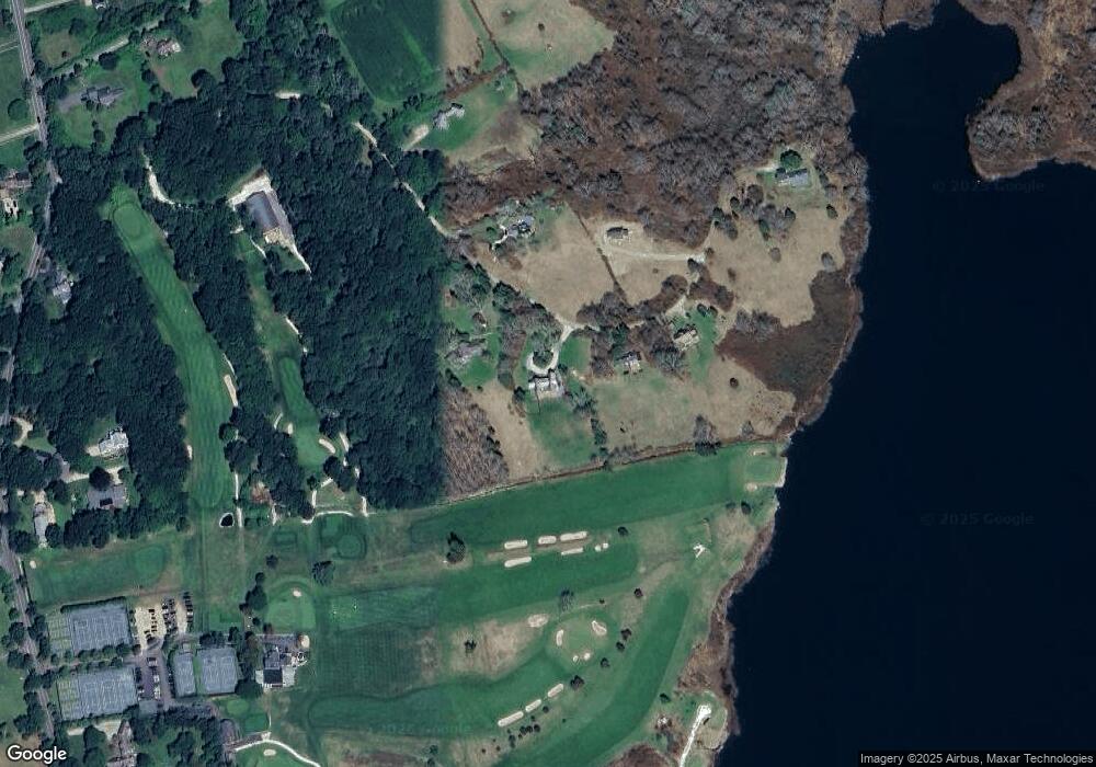
Map
Nearby Homes
- 19 Seabury Ln
- 189 Brayton Point Rd
- 304 Brayton Point Rd
- 255 John Dyer Rd
- 1881 Main Rd
- 1749 Main Rd
- 0 Reed Rd (Ss)
- 1580 Main Rd
- 245 John Dyer Rd
- 18 Old Barn Rd
- 1702J Drift Rd
- 1702 Drift Rd
- 128 Maple Ave
- 505 Long Hwy
- 1346 Main Rd Unit B
- 17 Quail Trail
- 141 S Of Commons Rd
- 116 Amy Hart Path
- 0 Willow Ave
- 83 Long Hwy
- 87 Peckham Ln
- 73 Peckham Ln
- 95 Peckham Ln
- 70 Peckham Ln
- 64 Peckham Ln
- 58 Peckham Ln
- 125 Peckham Ln
- 13 Tee Ln
- 12 Tee Ln
- 15 Tee Ln
- 94 Howland Rd
- 6 Tee Ln
- 130 Howland Rd
- 37 Fairway Dr
- 20 Peckham Ln
- 78 Howland Rd
- 0 Brayton Point Rd
- 0 Brayton Point Rd Unit 70392797
- 0 Brayton Point Rd Unit n/a 70925432
- 156 Howland Rd