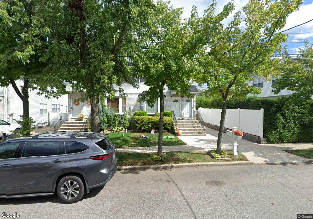
81 Pemberton Ave Staten Island, NY 10308
Great Kills NeighborhoodEstimated Value: $821,667 - $1,003,000
--
Bed
--
Bath
3,300
Sq Ft
$287/Sq Ft
Est. Value
About This Home
This home is located at 81 Pemberton Ave, Staten Island, NY 10308 and is currently estimated at $948,417, approximately $287 per square foot. 81 Pemberton Ave is a home located in Richmond County with nearby schools including P.S. 32 The Gifford School, I.S. 075 Frank D. Paulo, and Susan E Wagner High School.
Ownership History
Date
Name
Owned For
Owner Type
Purchase Details
Closed on
May 21, 2008
Sold by
Fadale Vincent and Fadale Christopher J
Bought by
Sokolovic Frank and Sokolovic Francine
Current Estimated Value
Home Financials for this Owner
Home Financials are based on the most recent Mortgage that was taken out on this home.
Original Mortgage
$533,850
Outstanding Balance
$342,479
Interest Rate
6.13%
Mortgage Type
Purchase Money Mortgage
Estimated Equity
$605,938
Create a Home Valuation Report for This Property
The Home Valuation Report is an in-depth analysis detailing your home's value as well as a comparison with similar homes in the area
Home Values in the Area
Average Home Value in this Area
Purchase History
| Date | Buyer | Sale Price | Title Company |
|---|---|---|---|
| Sokolovic Frank | $566,500 | None Available |
Source: Public Records
Mortgage History
| Date | Status | Borrower | Loan Amount |
|---|---|---|---|
| Open | Sokolovic Frank | $533,850 |
Source: Public Records
Tax History Compared to Growth
Tax History
| Year | Tax Paid | Tax Assessment Tax Assessment Total Assessment is a certain percentage of the fair market value that is determined by local assessors to be the total taxable value of land and additions on the property. | Land | Improvement |
|---|---|---|---|---|
| 2025 | $8,000 | $54,660 | $7,183 | $47,477 |
| 2024 | $8,000 | $55,560 | $6,667 | $48,893 |
| 2023 | $8,089 | $39,830 | $6,852 | $32,978 |
| 2022 | $7,604 | $45,960 | $9,300 | $36,660 |
| 2021 | $7,545 | $43,500 | $9,300 | $34,200 |
| 2020 | $7,151 | $44,520 | $9,300 | $35,220 |
| 2019 | $6,651 | $45,480 | $9,300 | $36,180 |
| 2018 | $6,469 | $33,192 | $7,760 | $25,432 |
| 2017 | $6,416 | $32,942 | $8,524 | $24,418 |
| 2016 | $5,903 | $31,078 | $8,695 | $22,383 |
| 2015 | $5,003 | $29,319 | $6,839 | $22,480 |
| 2014 | $5,003 | $27,660 | $7,740 | $19,920 |
Source: Public Records
Map
Nearby Homes
- 87 Pemberton Ave
- 72 Eric Ln
- 132 Elkhart St
- 12 Lexington Ln
- 414 Elverton Ave
- 466 Doane Ave
- 420 Arthur Kill Rd
- 379 Brookfield Ave
- 62 Daleham St
- 350 Brookfield Ave
- 12 Troy St
- 259 Brookfield Ave
- 38 Troy St
- 339 Abingdon Ave
- 40 Troy St
- 52 Barlow Ave
- 307 Abingdon Ave
- 47 Jumel St
- 98 Kennington St
- 168 Leverett Ave
- 83 Pemberton Ave
- 187 Gurley Ave
- 191 Gurley Ave
- 185 Gurley Ave
- 193 Gurley Ave
- 181 Gurley Ave
- 89 Pemberton Ave
- 179 Gurley Ave
- 93 Pemberton Ave
- 416 Giffords Ln
- 420 Giffords Ln
- 408 Giffords Ln
- 422 Giffords Ln
- 406 Giffords Ln
- 201 Gurley Ave
- 175 Gurley Ave
- 0 Pemberton Ave
- 426 Giffords Ln
- 101 Pemberton Ave
- 173 Gurley Ave