81 Rawhide Rd Laramie, WY 82070
Estimated Value: $466,000 - $694,433
2
Beds
2
Baths
1,557
Sq Ft
$373/Sq Ft
Est. Value
About This Home
This home is located at 81 Rawhide Rd, Laramie, WY 82070 and is currently estimated at $580,217, approximately $372 per square foot. 81 Rawhide Rd is a home located in Albany County with nearby schools including Spring Creek Elementary School, Laramie Middle School, and Laramie High School.
Ownership History
Date
Name
Owned For
Owner Type
Purchase Details
Closed on
Sep 23, 2013
Sold by
Fallace Salvatore and Fallace Loretta
Bought by
Solstad Brian D and Solstad Karen Lynn
Current Estimated Value
Home Financials for this Owner
Home Financials are based on the most recent Mortgage that was taken out on this home.
Original Mortgage
$207,000
Outstanding Balance
$154,775
Interest Rate
4.45%
Mortgage Type
New Conventional
Estimated Equity
$425,442
Create a Home Valuation Report for This Property
The Home Valuation Report is an in-depth analysis detailing your home's value as well as a comparison with similar homes in the area
Home Values in the Area
Average Home Value in this Area
Purchase History
| Date | Buyer | Sale Price | Title Company |
|---|---|---|---|
| Solstad Brian D | -- | None Available |
Source: Public Records
Mortgage History
| Date | Status | Borrower | Loan Amount |
|---|---|---|---|
| Open | Solstad Brian D | $207,000 |
Source: Public Records
Tax History Compared to Growth
Tax History
| Year | Tax Paid | Tax Assessment Tax Assessment Total Assessment is a certain percentage of the fair market value that is determined by local assessors to be the total taxable value of land and additions on the property. | Land | Improvement |
|---|---|---|---|---|
| 2025 | $3,301 | $36,434 | $9,695 | $26,739 |
| 2024 | $3,301 | $48,549 | $12,429 | $36,120 |
| 2023 | $3,252 | $47,817 | $12,594 | $35,223 |
| 2022 | $2,826 | $41,558 | $10,802 | $30,756 |
| 2021 | $2,525 | $37,131 | $10,695 | $26,436 |
| 2020 | $2,328 | $34,231 | $9,811 | $24,420 |
| 2019 | $2,291 | $33,687 | $9,161 | $24,526 |
| 2018 | $2,173 | $31,962 | $9,161 | $22,801 |
| 2017 | $2,101 | $30,900 | $8,407 | $22,493 |
| 2016 | $2,018 | $29,673 | $8,219 | $21,454 |
| 2015 | $2,111 | $31,046 | $8,545 | $22,501 |
| 2014 | $2,101 | $30,897 | $0 | $0 |
Source: Public Records
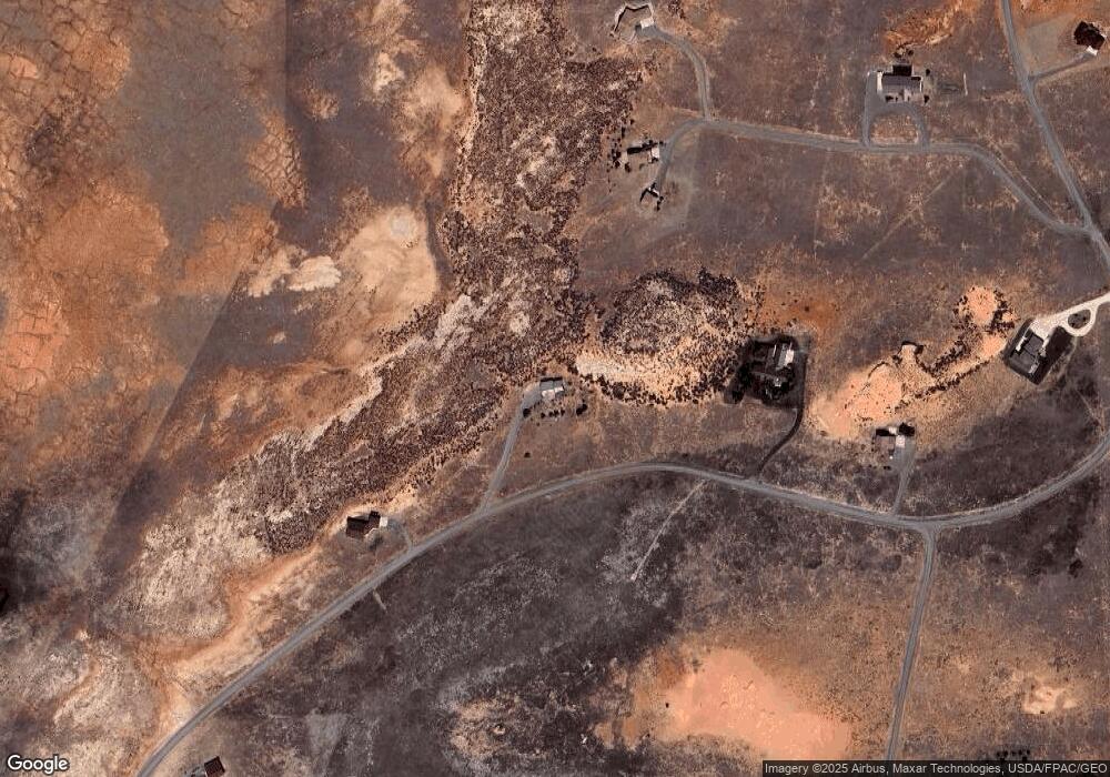
Map
Nearby Homes
- Lot 2A Vista Grande Estates
- Tbd Indian Springs Rd
- 376 Gilmore Gulch
- 122 Stevenson Rd
- TBD Bastion Rd
- TBD Traverse Rd
- 703 Sally Port Rd
- 746 Barricade Rd
- 4839 Graham Dr
- 4822 Tom Tucker Ln
- 1437 Rosedale Rd
- 175 Honey Tree Loop
- 3944 Cherrywood Loop
- 3921 Cherrywood Loop Unit B2 L1
- 3944 Cherrywood Loop Unit B2L12
- 3818 Cherrywood Loop Unit B1 L3
- 3819 Cherrywood West Loop Unit B2 L3
- 3818 W
- 60 Snowflake
- 3810 Cherrywood West Loop Unit B1 L4
- 87 Rawhide Rd
- 61 Rawhide Rd
- 95 Rawhide Rd
- 21 Desperado Buttes Trace
- 11 Desperado Buttes Trace
- 50 Rawhide Rd
- 169 Butte Loop
- 34 Rawhide Rd
- 6 Butte Loop
- 150 Butte Loop
- 145 Butte Loop
- 14 Arrowhead Dr
- 26 Arrowhead Dr
- 142 Vista Grande Way
- 64 Arrowhead Dr
- 54 Arrowhead Dr
- 58 Arrowhead Dr
- 39 Butte Loop
- 15 Clearwater Trail
- 10 Clearwater Trail