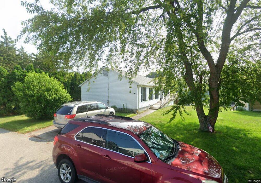
81 Raynham Ave Portsmouth, RI 02871
Common Fence Point NeighborhoodEstimated Value: $641,000 - $863,000
3
Beds
3
Baths
1,572
Sq Ft
$453/Sq Ft
Est. Value
About This Home
This home is located at 81 Raynham Ave, Portsmouth, RI 02871 and is currently estimated at $712,210, approximately $453 per square foot. 81 Raynham Ave is a home located in Newport County with nearby schools including Portsmouth High School.
Ownership History
Date
Name
Owned For
Owner Type
Purchase Details
Closed on
Aug 16, 2024
Sold by
Johnson Sherri A
Bought by
Sherri A Johnson T A and Sherri Johnson
Current Estimated Value
Purchase Details
Closed on
Apr 18, 2019
Sold by
Sherri Ann Johnson T and Sherri Johnson
Bought by
Johnson Sherri A
Purchase Details
Closed on
Jul 13, 2012
Sold by
Johnson Harry G and Johnson Lucy J
Bought by
Johnson Harry G
Purchase Details
Closed on
Dec 15, 1975
Bought by
Johnson Sherri Ann
Create a Home Valuation Report for This Property
The Home Valuation Report is an in-depth analysis detailing your home's value as well as a comparison with similar homes in the area
Home Values in the Area
Average Home Value in this Area
Purchase History
| Date | Buyer | Sale Price | Title Company |
|---|---|---|---|
| Sherri A Johnson T A | -- | None Available | |
| Johnson Sherri A | -- | -- | |
| Johnson Sherri A | -- | -- | |
| Johnson Harry G | -- | -- | |
| Johnson Sherri Ann | $50,300 | -- | |
| Johnson Harry G | -- | -- |
Source: Public Records
Tax History Compared to Growth
Tax History
| Year | Tax Paid | Tax Assessment Tax Assessment Total Assessment is a certain percentage of the fair market value that is determined by local assessors to be the total taxable value of land and additions on the property. | Land | Improvement |
|---|---|---|---|---|
| 2025 | $6,437 | $484,700 | $212,600 | $272,100 |
| 2024 | $6,388 | $484,700 | $212,600 | $272,100 |
| 2023 | $6,194 | $484,700 | $212,600 | $272,100 |
| 2022 | $5,989 | $384,900 | $179,600 | $205,300 |
| 2021 | $5,893 | $384,900 | $179,600 | $205,300 |
| 2020 | $5,800 | $384,900 | $179,600 | $205,300 |
| 2019 | $5,177 | $315,700 | $134,400 | $181,300 |
| 2018 | $5,090 | $318,700 | $137,400 | $181,300 |
| 2017 | $4,914 | $318,700 | $137,400 | $181,300 |
| 2016 | $4,582 | $286,400 | $127,600 | $158,800 |
| 2015 | $4,525 | $286,400 | $127,600 | $158,800 |
| 2014 | $4,525 | $286,400 | $127,600 | $158,800 |
Source: Public Records
Map
Nearby Homes
- 169 Narragansett Blvd
- 0 Common Fence Blvd Unit 1364650
- 0 Common Fence Blvd Unit 1397142
- 0 Island Rd
- 10 Mount Hope Ave
- 1055 Anthony Rd
- 134 Greenfield Ave
- 72 Rhode Island Blvd
- 0 Dighton Ave
- 8 Tucker Ave
- 1350 Anthony Rd
- 42 Lewis St
- 50 Stevens St
- 83 Waters Edge Unit 24
- 87 Waters Edge
- 9 Cutter Ln
- 47 Watermark Dr
- 171 Leeshore Ln
- 15 Rocky Ave
- 898 Main Rd
- 77 Raynham Ave
- 22 Short St
- 82 Raynham Ave
- 63 Lakeville Ave
- 181 King Phillip St
- 76 Raynham Ave
- 162 King Phillip St
- 6 Short St
- 160 King Phillip St Unit 162
- 70 Raynham Ave
- 192 Narragansett Blvd
- 45 Lakeville Ave
- 62 Lakeville Ave
- 188 Narragansett Blvd
- 117 Narragansett Blvd
- 59 Raynham Ave
- 60 Mansfield Ave
- 153 King Phillip St
- 52 Lakeville Ave
- 182 Narragansett Blvd