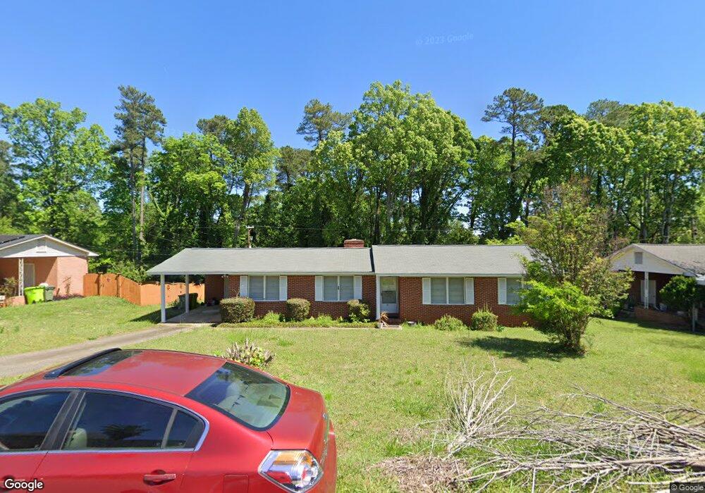
81 Riverside Cir Columbia, SC 29210
Saint Andrews NeighborhoodEstimated Value: $190,000 - $204,000
3
Beds
2
Baths
1,646
Sq Ft
$120/Sq Ft
Est. Value
About This Home
This home is located at 81 Riverside Cir, Columbia, SC 29210 and is currently estimated at $197,005, approximately $119 per square foot. 81 Riverside Cir is a home located in Richland County with nearby schools including H. B. Rhame Elementary School, St. Andrews Middle School, and Columbia High School.
Ownership History
Date
Name
Owned For
Owner Type
Purchase Details
Closed on
Feb 22, 2017
Sold by
Mcninch Elfrieda J
Bought by
Ginyard Jacqueline A
Current Estimated Value
Home Financials for this Owner
Home Financials are based on the most recent Mortgage that was taken out on this home.
Original Mortgage
$83,460
Outstanding Balance
$69,198
Interest Rate
4.25%
Mortgage Type
FHA
Estimated Equity
$127,807
Create a Home Valuation Report for This Property
The Home Valuation Report is an in-depth analysis detailing your home's value as well as a comparison with similar homes in the area
Home Values in the Area
Average Home Value in this Area
Purchase History
| Date | Buyer | Sale Price | Title Company |
|---|---|---|---|
| Ginyard Jacqueline A | $85,000 | None Available |
Source: Public Records
Mortgage History
| Date | Status | Borrower | Loan Amount |
|---|---|---|---|
| Open | Ginyard Jacqueline A | $83,460 |
Source: Public Records
Tax History
| Year | Tax Paid | Tax Assessment Tax Assessment Total Assessment is a certain percentage of the fair market value that is determined by local assessors to be the total taxable value of land and additions on the property. | Land | Improvement |
|---|---|---|---|---|
| 2024 | $1,083 | $103,700 | $0 | $0 |
| 2023 | $1,040 | $3,608 | $0 | $0 |
| 2022 | $944 | $90,200 | $12,600 | $77,600 |
| 2021 | $935 | $3,610 | $0 | $0 |
| 2020 | $949 | $3,610 | $0 | $0 |
| 2019 | $920 | $3,610 | $0 | $0 |
| 2018 | $860 | $3,400 | $0 | $0 |
| 2017 | $462 | $3,220 | $0 | $0 |
| 2016 | $461 | $3,220 | $0 | $0 |
| 2015 | $454 | $3,220 | $0 | $0 |
| 2014 | $446 | $80,500 | $0 | $0 |
| 2013 | -- | $3,220 | $0 | $0 |
Source: Public Records
Map
Nearby Homes
- 112 Gateway Ln
- 1540 Romain Dr
- 1650 Omarest Dr
- 1707 Carl Rd
- 1727 Omarest Dr
- 1613 Ashford Ln
- 1209 Bakersfield Rd
- 1908 Grays Inn Rd
- 1913 Grays Inn Rd
- 528 Wimbledon Ct
- 0 Marley Dr Unit 623584
- 1127 Shirlington Rd
- 1510 Canal Dr
- 1924 Koulter Dr
- 204 River Bluff Blvd
- 105 River Bluff Ct
- 1850 Atlantic Dr Unit 434
- 1850 Atlantic Dr Unit 416
- 1850 Atlantic Dr Unit 414
- 1850 Atlantic Dr Unit 423
- 87 Riverside Cir
- 75 Riverside Cir
- 228 Beresford Place
- 224 Beresford Place
- 232 Beresford Place
- 0 Burbank St
- 203 Burbank St
- 236 Beresford Place
- 220 Beresford Place
- 73 Riverside Cir
- 93 Riverside Cir
- 240 Beresford Place
- 216 Beresford Place
- 100 River Rd
- 233 Burbank St
- 212 Beresford Place
- 244 Beresford Place
- 225 Beresford Place
- 229 Beresford Place
- 233 Beresford Place
Your Personal Tour Guide
Ask me questions while you tour the home.