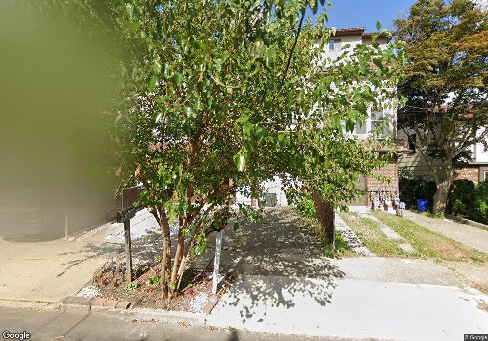
81 Robinson Ave Staten Island, NY 10312
Eltingville NeighborhoodEstimated Value: $422,000 - $728,000
2
Beds
3
Baths
1,065
Sq Ft
$540/Sq Ft
Est. Value
About This Home
This home is located at 81 Robinson Ave, Staten Island, NY 10312 and is currently estimated at $575,300, approximately $540 per square foot. 81 Robinson Ave is a home located in Richmond County with nearby schools including P.S. 8 Shirlee Solomon, I.S. 007 Elias Bernstein, and New Dorp High School.
Ownership History
Date
Name
Owned For
Owner Type
Purchase Details
Closed on
Feb 20, 2025
Sold by
Calcagno Steven R
Bought by
Mfra Trust and Wilmington Trust
Current Estimated Value
Purchase Details
Closed on
Feb 26, 1996
Sold by
Lauria Edward
Bought by
Mcgurk Brian W and Mcgurk Dorothy Ann
Home Financials for this Owner
Home Financials are based on the most recent Mortgage that was taken out on this home.
Original Mortgage
$137,150
Interest Rate
6.99%
Create a Home Valuation Report for This Property
The Home Valuation Report is an in-depth analysis detailing your home's value as well as a comparison with similar homes in the area
Home Values in the Area
Average Home Value in this Area
Purchase History
| Date | Buyer | Sale Price | Title Company |
|---|---|---|---|
| Mfra Trust | $405,410 | None Listed On Document | |
| Mcgurk Brian W | $144,500 | -- |
Source: Public Records
Mortgage History
| Date | Status | Borrower | Loan Amount |
|---|---|---|---|
| Previous Owner | Mcgurk Brian W | $137,150 |
Source: Public Records
Tax History Compared to Growth
Tax History
| Year | Tax Paid | Tax Assessment Tax Assessment Total Assessment is a certain percentage of the fair market value that is determined by local assessors to be the total taxable value of land and additions on the property. | Land | Improvement |
|---|---|---|---|---|
| 2025 | $4,196 | $31,200 | $3,429 | $27,771 |
| 2024 | $4,208 | $29,700 | $3,603 | $26,097 |
| 2023 | $4,208 | $22,122 | $3,436 | $18,686 |
| 2022 | $3,879 | $28,500 | $4,800 | $23,700 |
| 2021 | $3,841 | $23,580 | $4,800 | $18,780 |
| 2020 | $3,729 | $22,860 | $4,800 | $18,060 |
| 2019 | $3,686 | $22,980 | $4,800 | $18,180 |
| 2018 | $0 | $18,435 | $4,415 | $14,020 |
| 2017 | $3,246 | $17,392 | $4,348 | $13,044 |
| 2016 | $2,970 | $16,408 | $4,526 | $11,882 |
Source: Public Records
Map
Nearby Homes
- 69 Littlefield Ave
- 22 Heinz Ave
- 61 Heinz Ave
- 32 Glover St
- 98 Glover St
- 56 William Ave
- 139 Winchester Ave
- 72 Goodall St
- 233 King St
- 4325 Hylan Blvd
- 144 Winchester Ave
- 111 Goodall St
- 16 Ridgecrest Ave
- 224 Wiman Ave
- 232 Robinson Ave
- 9 Russell St
- 4028 Hylan Blvd
- 247 Hillcrest St
- 533 Tennyson Dr
- 111 David St
- 83 Robinson Ave
- 85 Robinson Ave Unit 1
- 85 Robinson Ave
- 87 Robinson Ave
- 75 Robinson Ave
- 108 Armstrong Ave
- 112 Armstrong Ave
- 89 Robinson Ave
- 114 Armstrong Ave
- 104 Armstrong Ave
- 91 Robinson Ave Unit 3
- 91 Robinson Ave
- 116 Armstrong Ave
- 69 Robinson Ave
- 102 Armstrong Ave
- 118 Armstrong Ave
- 82 Robinson Ave
- 76 Robinson Ave
- 67 Robinson Ave Unit 1
- 67 Robinson Ave Unit 69