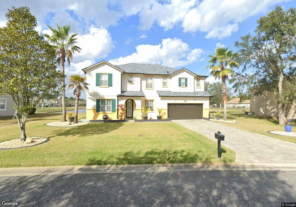
81 Rollins Ln Palm Coast, FL 32164
Estimated Value: $397,309 - $446,000
--
Bed
3
Baths
3,349
Sq Ft
$126/Sq Ft
Est. Value
About This Home
This home is located at 81 Rollins Ln, Palm Coast, FL 32164 and is currently estimated at $423,077, approximately $126 per square foot. 81 Rollins Ln is a home located in Flagler County with nearby schools including Rymfire Elementary School, Indian Trails Middle School, and Matanzas High School.
Ownership History
Date
Name
Owned For
Owner Type
Purchase Details
Closed on
Aug 25, 2006
Sold by
Kb Home Jacksonville Llc
Bought by
Pink Maxwell Richard S and Pink Maxwell Carol
Current Estimated Value
Home Financials for this Owner
Home Financials are based on the most recent Mortgage that was taken out on this home.
Original Mortgage
$250,000
Outstanding Balance
$150,135
Interest Rate
6.67%
Mortgage Type
Unknown
Estimated Equity
$272,942
Create a Home Valuation Report for This Property
The Home Valuation Report is an in-depth analysis detailing your home's value as well as a comparison with similar homes in the area
Home Values in the Area
Average Home Value in this Area
Purchase History
| Date | Buyer | Sale Price | Title Company |
|---|---|---|---|
| Pink Maxwell Richard S | $285,000 | First American Title Ins Co |
Source: Public Records
Mortgage History
| Date | Status | Borrower | Loan Amount |
|---|---|---|---|
| Open | Pink Maxwell Richard S | $250,000 |
Source: Public Records
Tax History Compared to Growth
Tax History
| Year | Tax Paid | Tax Assessment Tax Assessment Total Assessment is a certain percentage of the fair market value that is determined by local assessors to be the total taxable value of land and additions on the property. | Land | Improvement |
|---|---|---|---|---|
| 2024 | $6,403 | $406,905 | $56,000 | $350,905 |
| 2023 | $6,403 | $331,521 | $0 | $0 |
| 2022 | $6,119 | $370,565 | $56,000 | $314,565 |
| 2021 | $5,130 | $267,187 | $28,000 | $239,187 |
| 2020 | $4,711 | $238,135 | $21,500 | $216,635 |
| 2019 | $4,476 | $238,135 | $21,500 | $216,635 |
| 2018 | $4,024 | $197,504 | $19,500 | $178,004 |
| 2017 | $3,845 | $188,566 | $19,500 | $169,066 |
| 2016 | $3,722 | $182,556 | $0 | $0 |
| 2015 | $3,694 | $179,851 | $0 | $0 |
| 2014 | $3,434 | $164,900 | $0 | $0 |
Source: Public Records
Map
Nearby Homes
- 58 Rollins Ln
- 22 Roxboro Dr
- 97 Robinson Dr
- 6 Robin Hood Ln
- 57 Renshaw Dr
- 50 Renworth Ln
- 10 Renworth Ln
- 84 Robinson Dr
- 14 Roxanne Ln
- 30 Robinson Dr
- 55 Rolling Sands Dr
- 60 Rolling Sands Dr
- 52 Robinson Dr
- 55 Robinson Dr
- 29 Rocking Horse Dr
- 31 Renn Ln
- 67 Rolling Sands Dr
- 9 Rolls Royce Ct S
- 19 Roxland Ln
- 8 Renshaw Place