81 SE McTurnal Rd Shelton, WA 98584
Estimated Value: $592,000 - $713,656
3
Beds
2
Baths
1,843
Sq Ft
$356/Sq Ft
Est. Value
About This Home
This home is located at 81 SE McTurnal Rd, Shelton, WA 98584 and is currently estimated at $656,552, approximately $356 per square foot. 81 SE McTurnal Rd is a home located in Mason County with nearby schools including Southside Elementary School.
Ownership History
Date
Name
Owned For
Owner Type
Purchase Details
Closed on
Mar 22, 2005
Sold by
Mcturnal William B and Mcturnal Janet F
Bought by
Glandon Jeffrey W and Sampson William P
Current Estimated Value
Home Financials for this Owner
Home Financials are based on the most recent Mortgage that was taken out on this home.
Original Mortgage
$45,000
Interest Rate
5.53%
Mortgage Type
Purchase Money Mortgage
Create a Home Valuation Report for This Property
The Home Valuation Report is an in-depth analysis detailing your home's value as well as a comparison with similar homes in the area
Home Values in the Area
Average Home Value in this Area
Purchase History
| Date | Buyer | Sale Price | Title Company |
|---|---|---|---|
| Glandon Jeffrey W | $60,000 | Mason County Title Ins Co |
Source: Public Records
Mortgage History
| Date | Status | Borrower | Loan Amount |
|---|---|---|---|
| Closed | Glandon Jeffrey W | $45,000 |
Source: Public Records
Tax History Compared to Growth
Tax History
| Year | Tax Paid | Tax Assessment Tax Assessment Total Assessment is a certain percentage of the fair market value that is determined by local assessors to be the total taxable value of land and additions on the property. | Land | Improvement |
|---|---|---|---|---|
| 2025 | $4,797 | $613,610 | $119,940 | $493,670 |
| 2023 | $4,797 | $550,625 | $106,750 | $443,875 |
| 2022 | $5,097 | $489,965 | $86,790 | $403,175 |
| 2021 | $4,841 | $489,965 | $86,790 | $403,175 |
| 2020 | $4,521 | $421,835 | $66,760 | $355,075 |
| 2018 | $3,449 | $258,910 | $73,100 | $185,810 |
| 2017 | $2,994 | $258,910 | $73,100 | $185,810 |
| 2016 | $3,219 | $225,435 | $64,600 | $160,835 |
| 2015 | $3,082 | $249,820 | $64,600 | $185,220 |
| 2014 | -- | $233,245 | $57,800 | $175,445 |
| 2013 | -- | $231,090 | $59,500 | $171,590 |
Source: Public Records
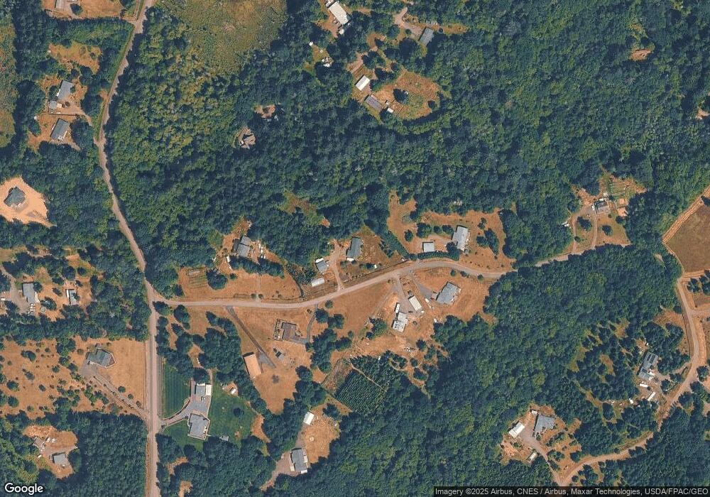
Map
Nearby Homes
- 691 SE Picadilly Dr
- 2 SE Mell Rd
- 1053 SE Binns Swiger Loop Rd
- 3253 SE Arcadia Rd
- 3355 SE Arcadia Rd
- 477 SE Old Arcadia Rd
- 64 SE Gosnell Ln
- 1 xxx SE Morgan Rd
- 80 SE Channel Point Rd
- 481 E Leeds Dr
- 101 SE Channel Point Rd
- 91 SE Skookum View Dr
- 431 E Agate Beach Dr
- 301 E Soundview Dr
- 101 E Cedar Grove Ln
- 81 E Cedar Grove Ln
- 80 E Kingston Way
- 4250 E Agate Rd
- 131 E Kingston Way
- 90 E Kingston Way
- 160 SE McTurnal Rd
- 160 SE McTurnal Rd
- 170 SE McTurnal Rd
- 191 SE McTurnal Rd
- 21 SE McTurnal Rd
- 50 SE McTurnal Rd
- 791 SE Noble Glen Dr
- 820 SE Noble Glen Dr
- 0 McTurnal Rd Unit 21113
- 0 McTurnal Rd Unit 29017105
- 121 SE Fireweed Rd
- 1720 SE Binns Swiger Loop Rd
- 780 Noble Glen Dr SE
- 261 SE McTurnal Rd
- 301 SE Fireweed Rd
- 1721 SE Binns Swiger Loop Rd
- 700 SE Noble Glen Dr
- 1981 SE Binns Swiger Loop Rd
- 330 SE McTurnal Rd
- 100 SE Fireweed Rd